The Val Venosta is located in the west of South Tyrol and is an Eldorado for hikers and mountaineers. Spoiled by sunshine, little precipitation and blessed with a dreamlike mountain scenery, the region is nevertheless still pristine and has retained its very own flair. We present three completely different options for hiking in Val Venosta – from the leisurely Waalwanderung to the high alpine glacier tour.
Waal paths in Val Venosta
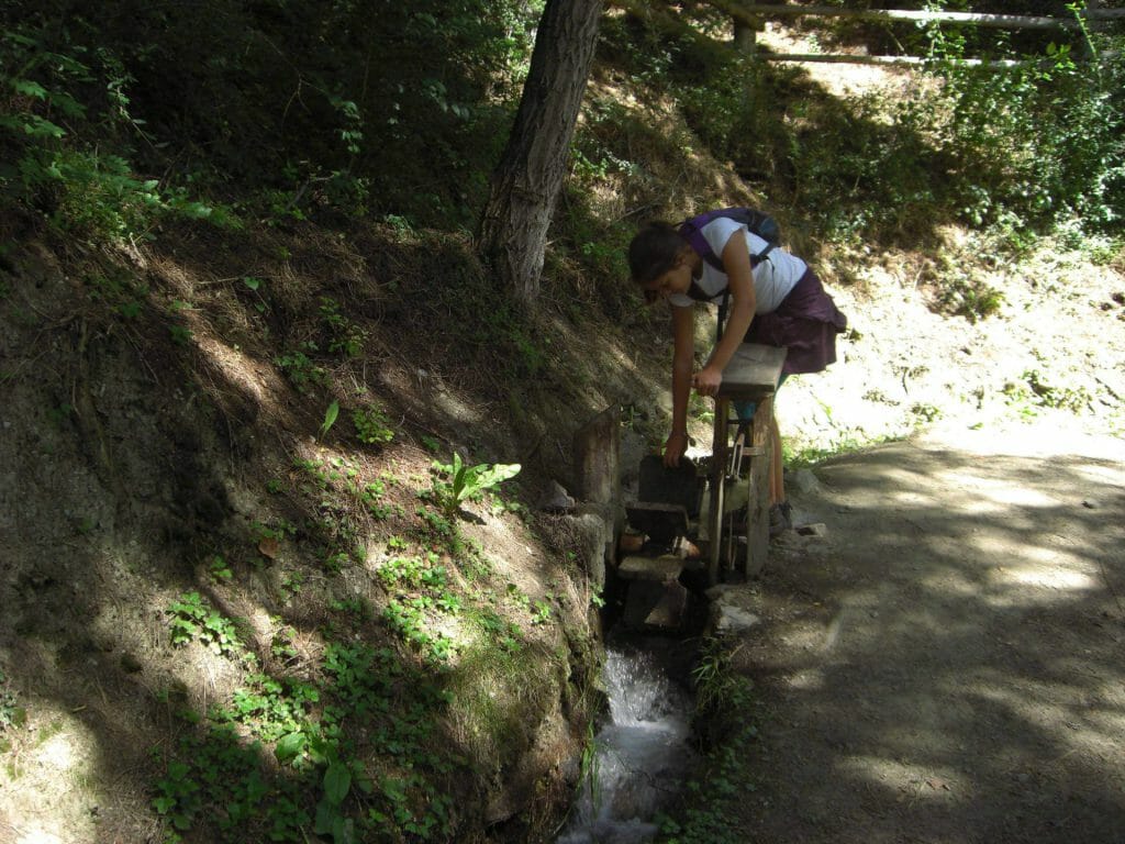
The Val Venosta or Vinschgau Valley is an extremely sunny spot on earth, the amount of precipitation is as low as in southern Italy. This pleases the vacationers, but has always posed problems for the farmers. In earlier times, a network of irrigation ditches, some 600 kilometers long, crisscrossed the fields and meadows.
These so-called “Waale” have now been largely replaced by modern irrigation systems. However, there are some whales that are still (or again) in operation. Along these small canals you can hike through the beautiful landscape and admire the surrounding 3,000-meter peaks.
Circular hike Leiten- and Berkwaal
The starting point of this easy but very varied hike is the village of Schluderns. At the Vintschger Museum you start through the alleys in the direction of Saldurbach up to the Calvary (path no. 18) to the Leitenwaal.
If you are interested in the early settlement of the valley, you can start the hike along the Leitenwaal with a visit to the excavation site Ganglegg: Right at the beginning of the Waalweg you will find the remains of a settlement from the Bronze and Iron Ages in an open-air museum.
This portion of culture is best digested on the hike through larch forests accompanied by the constant sound of water. After about an hour you cross the Saldur stream and hike on the opposite side of the valley along the Berkwaal back towards Schluderns. From far away you can already see the very well preserved Churburg. A visit with a guided tour is worthwhile! In total, the hike takes about two hours without sightseeing time.
Reading tip: Tour tip: Circular hike Sluderno
Schlinig Pass to the Uina Gorge
In winter, Schlinig is a snow-sure cross-country skiing paradise at 1,738 meters. In summer, hikers and mountain bikers start their tours there. A special treat is the cross-border hike over the Schlinig Pass to the Uina Gorge. The gorge connects South Tyrol with the canton of Grisons in Switzerland.
First, it takes about 30 to 40 minutes from Schlinig through green alpine meadows to the Schliniger Alm. From now on, it gets really steep for a short stretch – good if you have hiking poles with you. Directly behind the alpine pasture, the path winds its way up along a waterfall. Once you reach the top, you will be standing on a plateau and can already see the old Pforzheimer hut (now a small museum) at a small mountain lake and the Sesvenna hut (2,256 meters) in the immediate vicinity.
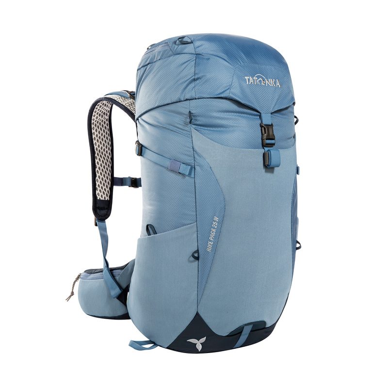
…you will find at Tatonka. Whether with a mesh back for optimal ventilation or with a contact back for hut or via ferrata tours.
It is still too early for a break, the highlight of the tour – the Uina gorge – is still waiting a good hour’s walk away. Follow the flat trail No. 18 to the Schlinig Pass, which forms the national border between Switzerland and Italy. There is no border post, so many hikers don’t even realize that they have already entered Swiss soil.
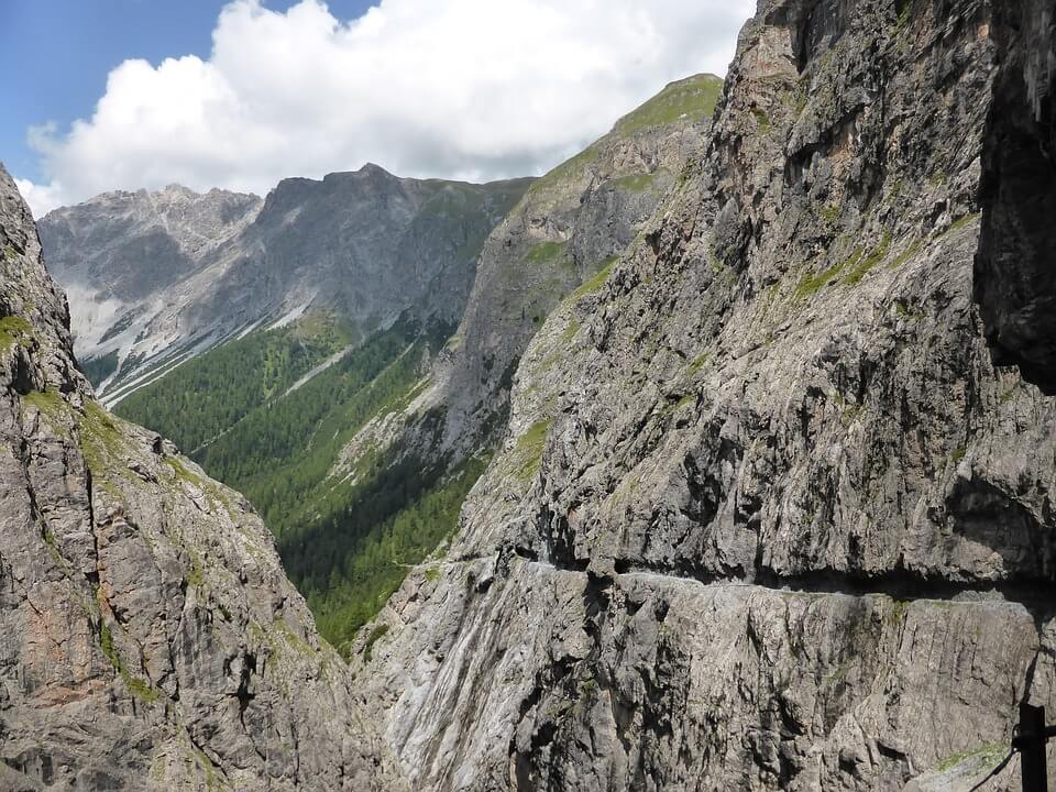
Don’t be irritated by the fact that it’s first downhill until you reach the rocky path that leads through the Uina Gorge. As you can see, the spectacular path was carved directly out of the rock face and leads you through tunnels and galleries all the way to the Engadine. Again and again imposing views and perspectives open up. It doesn’t matter that there is no circular route and that you take the same path back to Schlinig.
High altitude tour Weißkugel
If you are looking for a higher altitude, there are several challenging alpine tours to choose from in the Val Venosta. Popular among mountaineers is the glacier tour to the Weißkugel (3,738) – the panorama is magnificent and reaches as far as the Valais Alps and the Dolomites.
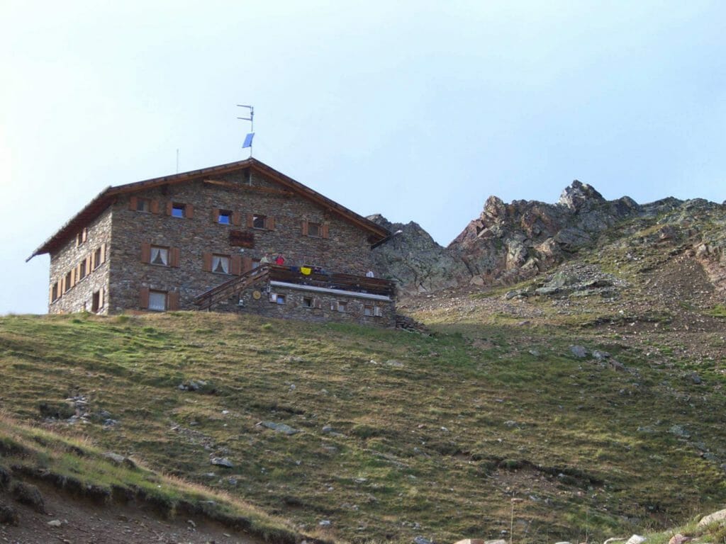
Early in the morning we set off with packed backpacks at dusk. The path starts right behind the hut and leads over a small bridge up to a first hill. After a short while, a lake appears in the barren landscape in front of you, which you circle on the right and reach the glacier foothills. The perfect time for a breather before it goes in full gear (crampons, rope, ice axe, etc.) on the ice.
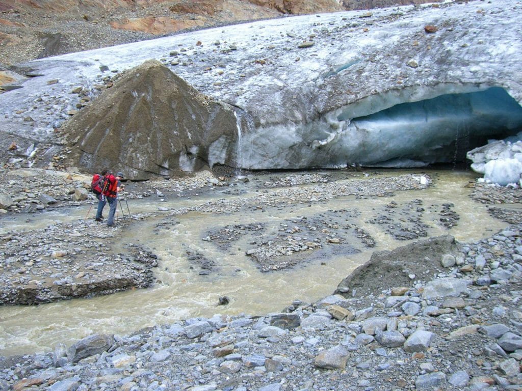
From here the glacier experience begins: you follow the ascent track in the middle of the glacier and pass some prominent landmarks such as the “Schwarzen Knottes”, the spring peaks and the steep slope “Matscher Wandl”. Above the Matscher Wandl then begins an exposed summit ridge, where unfortunately often traffic jams form. But once up at the summit cross, you can enjoy the stunning mountain scenery.
This is a classic high altitude tour that requires experience and the necessary glacier equipment. Tips for your first glacier tour or for digital tour planning with outdoor apps can be found here.


