Navigate unerringly with GPS maps, record your own tracks, keep an eye on the rain radar and correctly determine the next summit – we introduce you to the most popular outdoor apps.
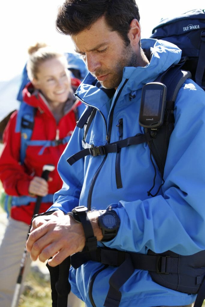
Have compasses and cycling or hiking maps had their day? If you observe the outdoor folk in the great outdoors, almost all of them are equipped with a GPS device, GPS multisport smartwatch or a smartphone with the corresponding outdoor apps. The reasons are simple – GPS-based navigation offers many more functions than a map alone. In addition, the data is always up-to-date and easy to use. And it’s also fun to play around with it!
Which outdoor app for whom?
It almost doesn’t matter which outdoor hobby you indulge in, there’s an app for it: Hiking, mountaineering, canoeing, climbing, cycling, mountain biking, skiing or trekking. Simply enter your hobby in the appropriate app store and numerous suggestions will be made. We have picked out a few apps so that you don’t lose track.
Tour planning, orientation and navigation
First and foremost, the topics of route planning and orientation & navigation are on the wish list of most users. Many apps rely on the swarm knowledge of their community. Users upload their latest tracks, comment on the current conditions or give tips on the necessary equipment, tour length or level of difficulty.
Reading tip: Long-distance hiking trails in Germany – The most beautiful routes.
Outdooractive
Outdooractive is not just an app, but an internet portal with a large, active outdoor community. Accordingly, you can use outdooractive to plan routes for a wide range of hobbies such as hiking, cycling, running, mountaineering, winter, water and horse tours, print them out, load them onto a GPS device or use them with the app.
In addition to tour search and planning, a map with different views, information on current conditions, huts, a compass and altimeter round off the offer. There is also a paid premium version with significantly more features such as navigation, a weather report for the tour and the option to save tours or maps offline.

Komoot
Similar to outdooractive, there is an active outdoor community behind the tour suggestions on komoot, who upload their tours to the portal or app. You can easily make your selection using various filters such as location or region, tour length, difficulty, etc.
You can not only plan your own tours in the traditional way with start and end points and the choice of transportation (hiking, running, cycling, road biking, mountain biking), but also include outdoor spots such as bathing areas.
However, if you want to use voice navigation, offline maps, free map updates and tour export for your GPS device, you will need to have your regions activated for a fee.
Take a look at our comprehensive trekking guide: Everything you need to know about trekking
Great weather or rain front?
Weather apps are a dime a dozen and their presentation is similar. When choosing an app, it is important to pay attention to the source of the data. Which weather service does the displayed data come from? Reliable forecasts for the German-speaking mountain regions in the Alps are provided by the Austrian ZAMG, for example. The Bergfex/Wetter app uses this data and also provides mountain-related data such as sunrise and sunset.
Weather apps with an integrated rain radar are also useful. This allows you to see the rain forecast at a glance and assess the extent of the precipitation. One of the most popular is the classic RegenRadar from WetterOnline, but many other apps also offer this service, such as meteoBlue or WeatherPro.
Also interesting: Trekking tips for beginners – the five most common mistakes and how to avoid them.
Powerbank with you?
Don’t forget to charge the battery beforehand. Although many huts draw electricity from solar power or have a generator running, it’s another matter whether there’s actually a power socket available. It’s best to pack a power bank and charging cable, then you’ll be independent.
One final note: don’t rely completely on navigation via the outdoor app. If you are out and about on less well-signposted paths and trails and your smartphone no longer works, you will be glad to have a printed tour description or a good old paper map.


