A post by guest author @Natascha.Kimberly
The Swiss region of Appenzell is a true hiker’s paradise. Over 800 km of hiking trails run through this canton alone and range from easier day tours, to multi-day stage tours. The Schäfler in the Alpstein is not an unknown destination in this region and yet I would like to show you with this post a route, which is still little frequented and on which you can enjoy the idyll around you.
Tour data
- Difficulty: medium
- Altitude difference: 830 hm
- Length: 11 km
- Duration (walking time): approx. 5 h
- Start and end point: parking lot Ebenalp/Eschböhl (47°17’21.9″N 9°24’11.6″E)
- Suitable for dogs: Yes
- Refreshments: Schäfler mountain inn, Ebenalp mountain inn.
Ascent to the Schäfler via Neuenalp
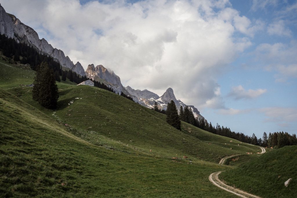
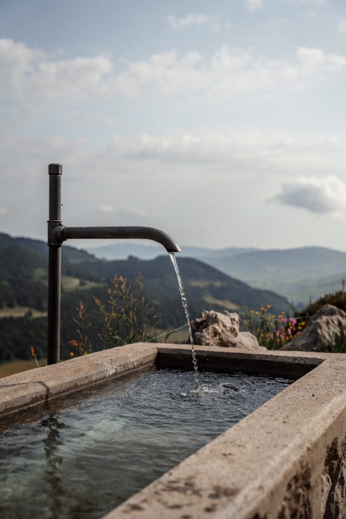
The hike starts at the last parking lot Ebenalp/Eschböhl, which costs 5 CHF for 24 h and can be paid with the app “EasyPark”. From there we follow the well-maintained path, past cows and pass a total of three unmanaged huts. At two of them there is a drinking place, where water for the dog can be refilled if necessary.
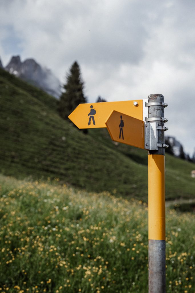
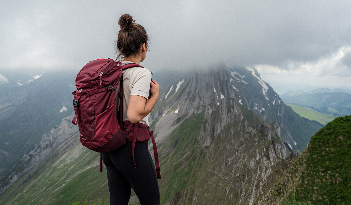
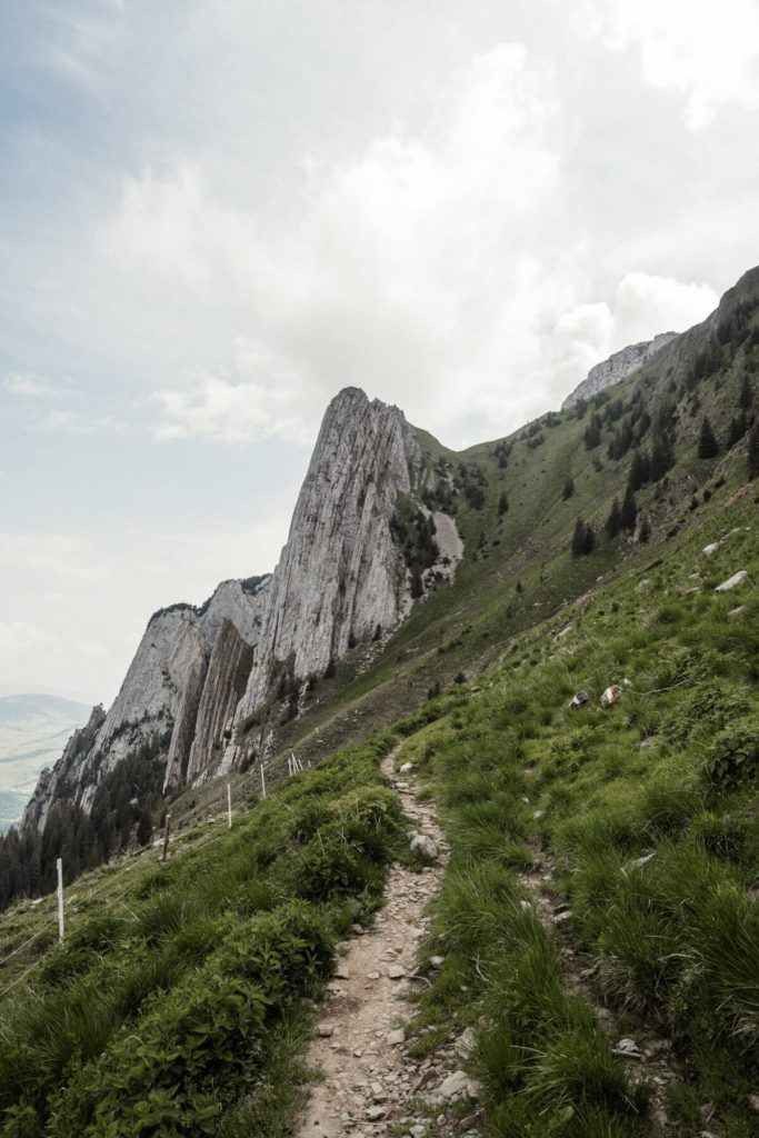
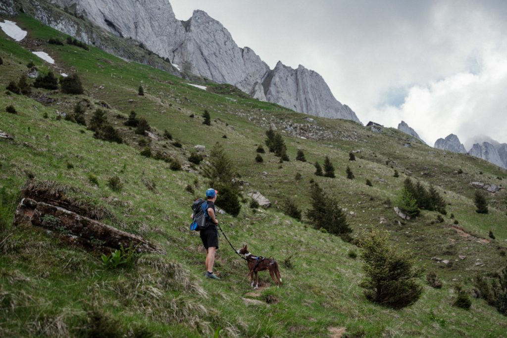
We now take the well-trodden path over stones as well as loamy soil and follow the well-marked path upwards until we stand in front of a sheep fence. We leave this behind us and soon catch sight of the impressive mountain massif of the Filderchöpf next to us, which gives the impression of having been arbitrarily carved into the stone.
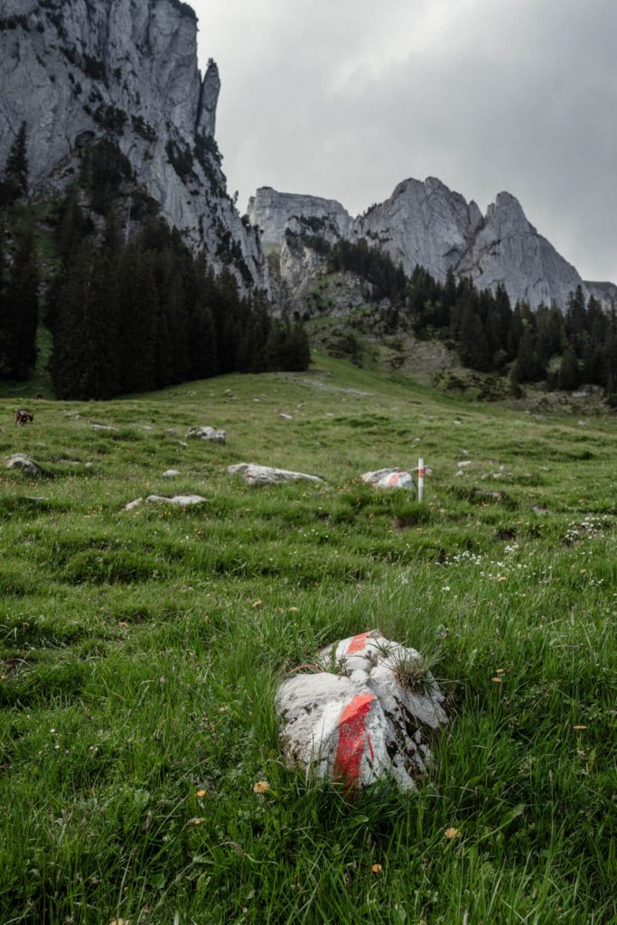
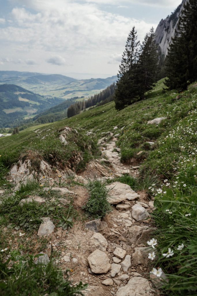
The further hiking trail up is a bit steeper on the left, but well laid out as well as still pleasant to walk on. Nevertheless, I would like to point out the surefootedness and attentive hiking. The next 200 hm the path increases in gradient and we follow it up in serpentines, the Filderchöpf now at our height and the Schäfler already on the right side.
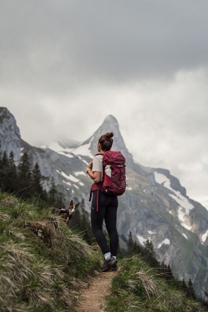
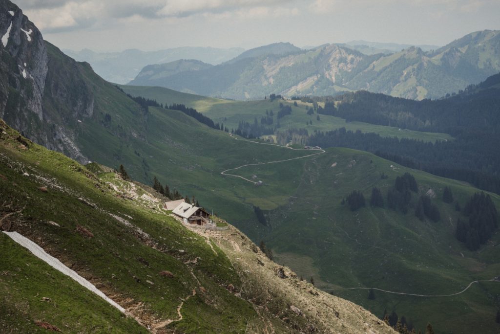
Next we come to a fork in the road and turn right at it in the direction of Schäfler. Now the path leads up stony steps and we pass the Schäfler inn, immediately recognizing our destination not far away. Confused, we stand there looking in vain for a typical summit cross, but that one in front of us is indeed the summit.
Reading tip: You can find everything about hiking in our guide article.
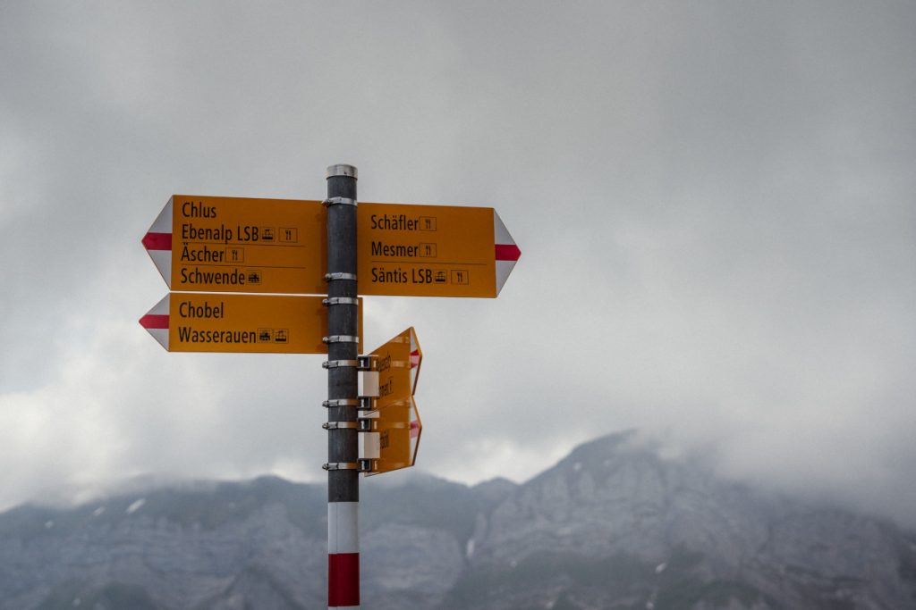
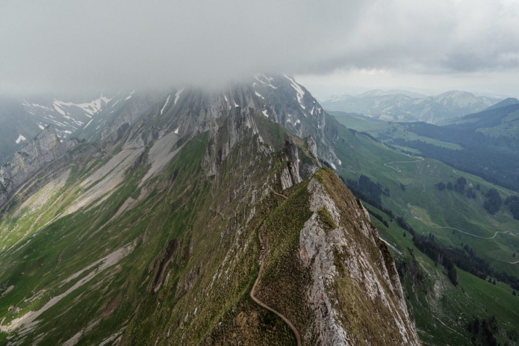
Since the weather is very mixed on this day, we have unfortunately only been able to glimpse the imposing rock formation of the Altenalptürm. Nevertheless, I must say that the view of the surrounding area from the summit of the Schäfler is really impressive.
Tip: From the Schäfler you can descend in the direction of Seealpsee and take the hiking trail, which you can see in the picture. However, this is not without danger and extremely steep.
Descent via Ebenalp
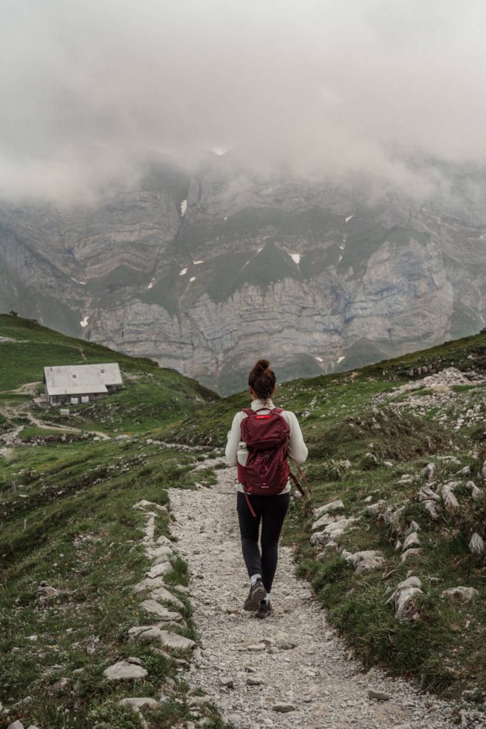
The round tour leads us via Ebenalp back to our parking place. To do this, we walk from the Schäfler back to the fork in the road and descend along the stony and well-built path in the direction of Ebenalp or Äscher. At the house of Altenalp we take a break and then turn left. We follow the stony steps further down until we pass Ebenalp and its natural alpine garden. Here you can admire some alpine flowers and learn more about them on information boards. We were lucky to be there when the mountain gentian was in bloom.
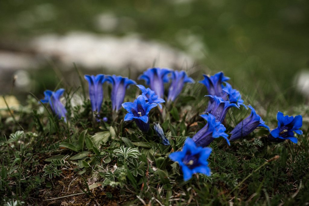
Our path leads past the Ebenalp inn in the direction of the cable car station. We also pass this station and walk a short distance down the paved path. A fork in the road now leads us across a meadow in the direction of Erstböhl, away from the streams of tourists around the cable car.
Tip: You could reach the popular Insta photo spot Gasthaus Äscher from this fork in the road within 20 minutes and walk back from there to finish the loop.
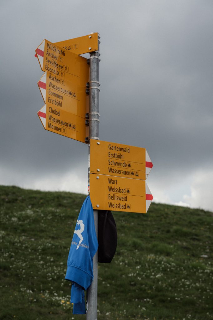
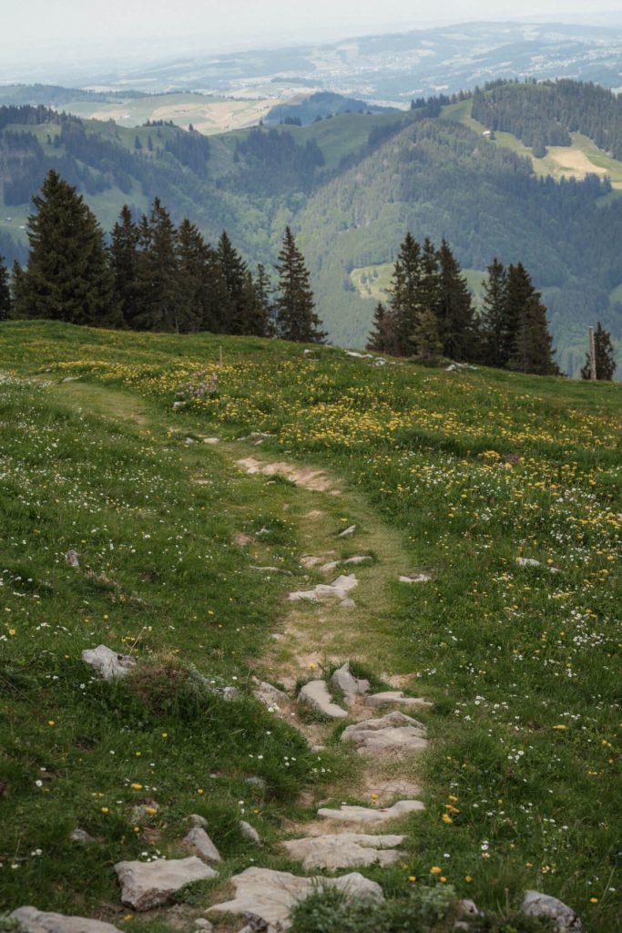
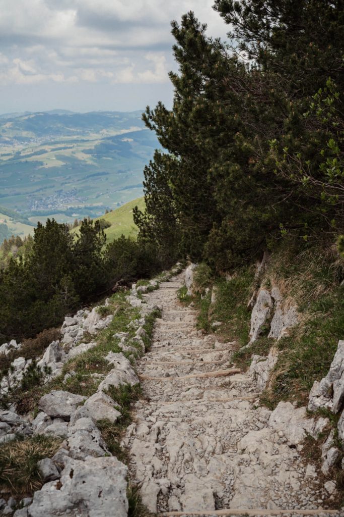
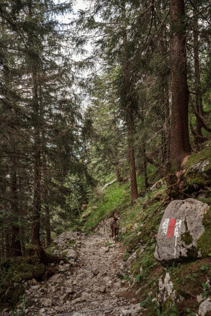
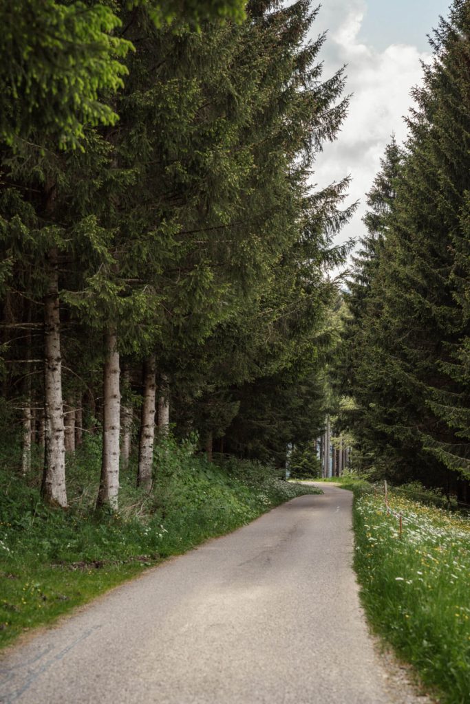
The meadow leads us downhill into an increasingly dense forest. At a crossroads we walk straight on, along a rooty path. After a short while the forest changes and with it the path, because we are now walking through a dark coniferous forest over deep steps down the mountain. The penultimate bend of the path leads us to a wide forest road, which finally brings us to the paved road, where we turn right and walk along a small piece back to the parking lot.
The hike on Komoot
https://www.komoot.com/tour/1159215428?ref=wtd&share_token=auE22M7EphvJ1ska0wte5I5xnwZmcFiRK2VP8iiTraCe2NaLtFInfo & tips for dog owners
- The only water points on this tour are the two mentioned at the beginning of the tour. Therefore, especially on hot days, have enough water for your four-legged friend.
- Your dog should be fit and sure-footed and be able to endure long walks, because there is hardly any shade on this hike.
- At the beginning you will pass grazing cows, cattle and calves. Therefore, unleash your dog, but hold him tight. This way he, but also you, can run away better in a possible dangerous situation.
- Please leash your dog – as requested by the farmer – as soon as you cross the sheep pasture. Especially if you have a hunting dog.

Hello, my name is Natascha. As an avid photographer, I find my greatest inspiration in nature, which offers the most beautiful motifs. Whether in my native Bavaria or in the most remote corners of the world – I use every free second to be out and about. Especially the mountains have done it to me, but I am also always open to learn about other places and cultures. Soon we’ll be traveling through Europe with our self-built Land Rover Defender, where we’ll explore more beautiful spots of the world. On Instagram you can experience the fascinating moments of my travels and be inspired by the diversity of nature. Maybe there is also one or the other tip for your next adventure, so follow me very happy on Instagram


