There are many routes for alpine crossing on foot. They all represent the dream of crossing the highest mountains in Central and Southern Europe under your own steam. However, depending on the route, the hike across the Alps can be completely different – it all depends on the length, difficulty, as well as the starting point and destination of your route. We show you the most popular hiking routes across the Alps and explain the differences.
How you organize an alpine crossing is completely individual. Important is the question of how much time you bring with you and what expectations you have of the hike. Also your own fitness plays a role. You can take the fastest route across the Alps in just 6 stages or extend the hike to up to 95 daily stages. Physically challenging is each of the variants. The degrees of difficulty are nevertheless quite different. So that the adventure of crossing the Alps becomes a great experience, you should therefore inform yourself in advance exactly about the routes and their characteristics.
Note: You are about to plan your crossing of the Alps? Here you can find out more about the topic: Planning and preparation for your hike across the Alps
E5 from Oberstdorf to Merano
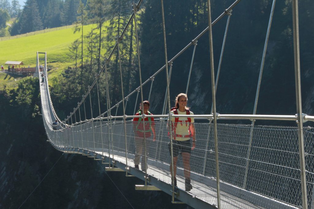
The crossing of the Alps from Oberstdorf to Merano via the long-distance hiking trail E5 is a real classic and probably the fastest way to get across the Alps on foot. Not least because of this, it is very popular and accordingly heavily frequented. Nevertheless, the route has it in itself and is only recommended if you already have experience with multi-day mountain hikes.
In order to avoid problems with overcrowded huts and congested paths on the six to eight day long distance hike, you should start during the week and avoid vacation periods. This way you can best enjoy the nature experience between lovely pastures and imposing mountain landscapes.
- Distance: 140 kilometers
- Duration: 6 to 8 days
- Altitude difference: 10,000 meters uphill, 9,800 meters downhill
- Difficulty: demanding (steep passages, difficult route conditions depending on the weather, physically demanding)
Even though the crossing of the Alps from Oberstdorf to Merano is short, you should not underestimate it. Just because of the shortness, the altitude meters you have to overcome are quite demanding. Even in summer, snow can fall at high altitudes. You should also take rainfall into account. The popular route, on which hundreds of hikers are on the move every day, can then quickly become muddy and slippery. Plan accordingly for break days, alternative routes and descent options.
The route – as part of the long-distance hiking trail E5 from the French Atlantic coast to Verona in Italy – is well developed and signposted. From Oberstdorf it starts relatively flat, until behind the valley head of the Trettach steep hairpin bends lead you up to the day’s destination Kemptener Hütte (hut). The second day, with 10 hours of hiking time, is not only physically challenging. Because the way up to the hut Memminger Hütte is quite steep. But the Simms waterfall awaits you along the way and you already pass the Austrian border. If you want, you can have your backpack transported up to the hut by a material ropeway.
On the third day, the route leads up to the summit of the Seescharte (2599m), which offers a magnificent view over the Hohe Licht, the Biberkopf as well as the Großer Krottenkopf and the Mädelegabel. The narrow path along the rock then leads through the Zammer Loch. For the overnight stay it is a good idea to take the cable car from the Zams valley station to the middle station, from where it is not far to the hut Skihütte Zams. Also on the fourth stage many hikers rely on an aid and supplement the nine hours on foot with an hour bus ride. First it goes up to the Krahberg (2208m) and from there south to Wenns. From the Pitztaler Hof, the bus now leaves every hour in the direction of Mittelberg. Once there, the ascent to the hut Braunschweiger Hütte begins. From there you can descend directly to Meran via the hut Martin-Busch-Hütte. If you want and have enough time, you can also add a loop and hike via Bolzano. The way through the Pitztal glacier world is worth it! Both Bolzano and Merano invite you to stay – not only to recover from the strenuous hike.
Dream Path Munich – Venice
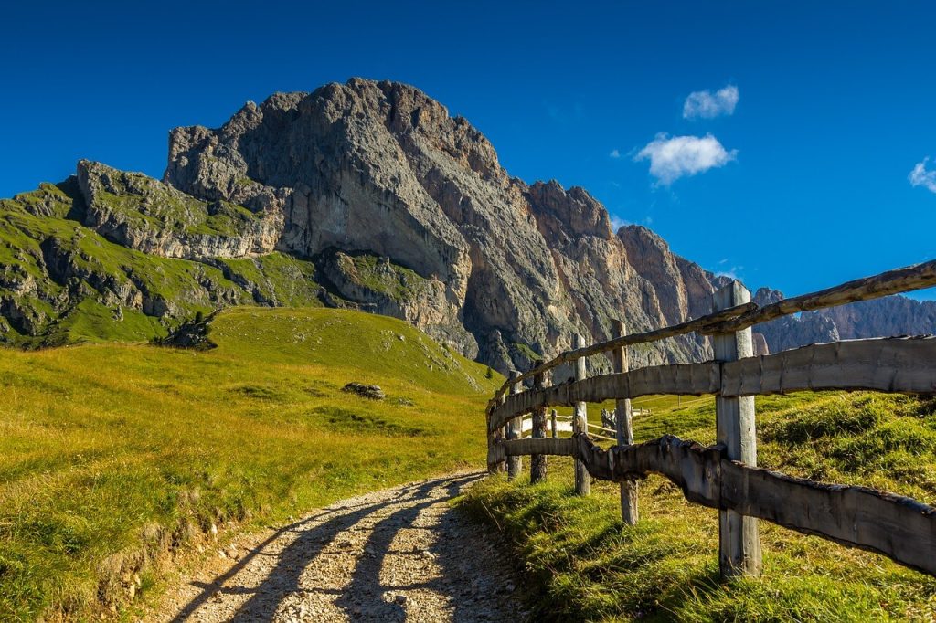
The Alpine Crossing from Munich to Venice is considered one of the most versatile tours across the Alps: you start at Munich’s Marienplatz and hike through the foothills of the Alps, over the main Alpine ridge, through the Dolomites and cross the plains along the Piave River to finally arrive at St. Mark’s Square in Venice.
- Distance: 554 kilometers
- Duration: 30-32 days
- Altitude: 22.000 meters
- Difficulty: demanding (alpine terrain, easy climbs, surefootedness and head for heights required)
The founder of the Dream Trail is considered to be the Bavarian engineer Ludwig Graßler, who harbored the dream of walking from his hometown of Wolfratshausen to Venice. To this end, he combined several existing hiking trails and first put his plan into practice in 1974. If you want to walk in Grassler’s footsteps, the best place to start is on August 8 at Munich’s Marienplatz. This is the official start of the traditional Venice walk, which is even accompanied by a brass band. Six months earlier, on November 8, Venice hikers meet at Munich’s Hofbräuhaus. Registration is not required.
Surprisingly, the beginning of the hike is considered one of the most beautiful sections. Despite the urban starting point, you reach the Isar River after just a few steps, and from there you can walk right out into the countryside. From now on, you won’t have to set foot on a tarred road until you reach Bad Tölz.
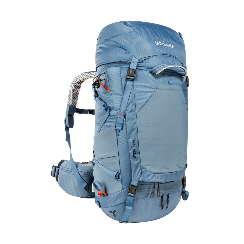
At Tatonka you will find the right backpack for your tour across the Alps. Whether unisex or special women’s model. With adjustable carrying systems that noticeably relieve your back on tour.
After the gentle hills of the foothills of the Alps, you’ll climb for the first time at Brauneck and two days later you’ll already be facing the walls of the Karwendel mountains. In the Inn Valley, the first break day is recommended before heading up into the Alps. Over the Hintertux glacier the way leads to South Tyrol. Especially here in the Central Alps, there are a few challenging daily stages that you should take a close look at in advance. Now the Dolomites are on the horizon. With their rugged rock formations meeting gentle alpine pastures, they are for many the most impressive part of crossing the Alps. The Bellunser Alps are then the last alpine section before it gets flatter. From here you can already see the Adriatic Sea on clear days. Along the Piave you pass numerous Italian farming villages and can enjoy the Mediterranean vegetation. And then it’s time: you’re standing by the sea! It’s time to cool off on the beach of Jesolo in the Mediterranean Sea. On a last day of hiking you will reach Punta Sabbioni, from where a ferry will take you to Venice.
If you can’t or don’t want to take a whole month at a stretch, you can also divide the Munich-Venice dream trail into two or more sections and thus spread it over several years. This also reduces the physical strain and is surprisingly easy to do despite the remoteness of the route. For the path runs from the Inn Valley almost parallel to the Brenner Pass. You can reach the individual stations of the train line running here on each day of this stage with regional buses in one to three hours.
The first section is the route from Munich to the Inn Valley, which can be done in just under ten days. Four days more and you are in Passo Pordoi. From there it is another 14 days to Venice. The journey to the individual sections is well possible from the Brenner Pass or by train.
From Salzburg to Trieste over the Alps
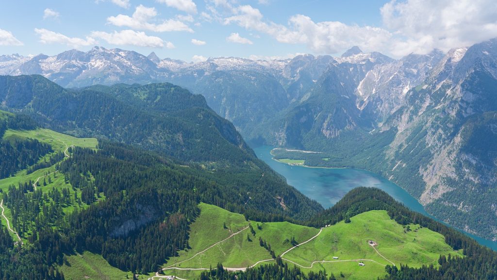
From the high mountains to the sea: the Alpine crossing from Salzburg to Trieste has a special charm with this contrast. In addition, three national parks promise a special nature experience. Last but not least, the fact that it is somewhat quieter than the other variants described so far makes this Alpine route attractive.
- Distance: approx. 500 kilometers
- Duration: 28 days
- Altitude: approx. 25,000 meters uphill and 26,000 meters downhill
- Difficulty: medium to demanding (surefootedness and a head for heights are required, there are no via ferrata passages)
The Salzburg – Trieste route is relatively new. In 2013 Christof Herrmann decided to cross the Eastern Alps on his own route. This experience and years of optimization have resulted in a popular hiking guide, which is already in its third edition.
The starting point is the Salzburg Kurpark. During the summer months, hikers are invited to meet here daily at 10 a.m. to start hiking together. Past Mirabell Palace, the route leads to the Salzach River and then up the Mönchsberg. The first stage is already quite challenging. You have to overcome 1,300 meters of altitude on the first 15 kilometers to the Zeppezauerhaus. On the way past Berchtesgaden and the Königssee, the Watzmann, Hochkalter and Hoher Göll sweeten the view. The first real alpine stages await you in the Hagen Mountains and the Steinernes Meer. After the first week, in which you have hiked through the Berchtesgaden Alps, some ridge trails between Hundstein and Statzerhaus await you.
Afterwards you will hike through the Goldberggruppe. It is already located in the first of the three national parks: the Hohe Tauern National Park. The most striking point here is probably the Fraganter Scharte, which at 2754 meters is the highest point of the Alpine crossing. You’ll probably also notice this in the thinning air. On the way to the Fraganter Schutzhaus you will have fantastic views again and again.
The crossing of the Kreuzeckgruppe promises absolute peace and quiet. It is considered one of the least visited mountain groups in Carinthia. In the Gailtal Alps, thanks to a well thought-out route, you don’t have to climb higher than 1160 meters. This saves energy for the ascent to the Carnic main ridge. The trail leads you from the Dolinza-Alm along the border ridge between Austria and Italy and finally down into the Canal Valley in Friuli.
After 18 stages you will reach the Julian Alps and the Triglav National Park. Here, too, an effort not to be underestimated awaits through Slovenia’s mountain landscape. However, the almost untouched landscape should be compensation enough. The route takes you around Triglav over bizarre karst rock formations. Lush greenery awaits in the Seven Lakes Valley. The crossing of the Alps is soon done. The last mountain stage ends in Tolmin. After another 5 days in flatter terrain we finally reach Trieste.
The route is recommended for those who like to get away from the hustle and bustle and enjoy silence and seclusion in nature.
Alpe Adria Trail
The Alpe-Adria Trail takes you from the Großglockner to Muggia on the Italian Adriatic coast. Granted – you already start in the Alps. Nevertheless, the route is long enough for sure. This Alpine cross is considered a route for connoisseurs. Because it avoids too challenging mountain passages. Instead, there are several inviting accommodations to choose from each evening.
- Distance: approx. 750 kilometers
- Duration: 43 stages
- Altitude: approx. 23,600 meters
- Difficulty: easy to medium
The Alpe-Adria-Trail leads you from the foot of the Großglockner, Austria’s highest mountain, through the picturesque landscape of Carinthia to the border area of Austria, Slovenia and Italy. Finally, a few flatter stages follow until you finally arrive at the Italian Adriatic coast.
The trail is especially recommended for connoisseurs. Because its difficulty is manageable. Fitness and sure-footedness are the basic requirements here, too, but during the hike you can concentrate entirely on nature. The stages are evenly divided and cover about six hours walking time on 20 kilometers. Culinary delights are on offer along the way on this well-signposted route.
Alpine crossing: Tegernsee – Sterzing
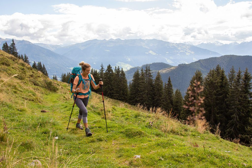
The route from Tegernsee to Sterzing is considered a rather comfortable alpine crossing. The altitude meters to be overcome here are significantly less than on the other presented routes. In addition, you will not spend the night in mountain huts, but in towns along the route. There you have a choice of inns, guesthouses and even hotels. The seven-day route is therefore suitable for all those who are looking for a real pleasure hike.
- Distance: approx. 115 kilometers
- Duration: 7 stages
- Altitude difference: approx. 3,500 meters uphill, 3,400 downhill
- Difficulty: easy to medium
On your first stage, which starts in Gmund am Tegernsee and leads you to Wildbad Kreuth, you have a walking time of just two hours and can enjoy the view of the idyllic Tegernsee in a relaxed way. The most physically demanding stage awaits you on day two. From Wildbad Kreuth to Achenkirch, you have to climb 850 meters in altitude. That can be done in six hours. The other five stages take four to five hours to complete.
This leaves enough time to let nature take its effect on you, to cool off in Lake Achensee or to stop off at one of the numerous alpine inns along the way. Again and again you can use the bus and cable car on this route and thus save yourself more strenuous passages. The individual stages are well signposted. The local tourist offices offer detailed information on the individual stages.
Conclusion: Detailed route planning is worthwhile!
There are many routes for crossing the Alps. Here we have described only the most common ones. In addition, there are numerous other more or less known. So it’s worth spending some time researching – that way you can find a route that suits your preferences. An individually planned route is also possible – but only recommended for experienced mountain hikers. Because to estimate length and difficulty of suitable daily stages correctly, it has it in itself. It is best to consult an established hiking guide. If you are unsure, a guided hike may be advisable. This way, you don’t have to worry about planning the route yourself and can concentrate fully on hiking. After all, your crossing of the Alps should not be a danger, but an unforgettably beautiful nature experience!
Tip: Here you can find more articles of our series about crossing the Alps on foot:


