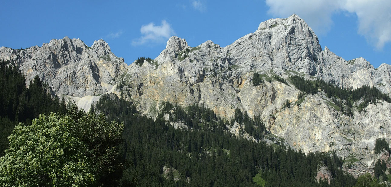
The Rote Flüh is a popular mountain top with a fantastic view in one of Austria’s most beautiful hiking regions – the Tannheimer Tal. Particularly on the last few meters of the ascent through the Judenscharte, surefootedness and a head for heights are required. Due to the steep ascent, you should also be in good physical condition. With the Gimpelhaus and the Tannheimer lodge there are, depending on the route, two places to stop for refreshments. A special highlight of the hike is the view from the summit to the beautiful Haldensee. I wish you lots of fun on your hike to the Rote Flüh 🙂
Tour dates
- Start and end point: Car park Gimpelhaus, Nesselwängle
- Duration / walking time: Approx. 5:15 hours (for descent via Tannheimer Hütte approx. 5:45 – 6:00 hours)
- Path length: 9.7 km
- Height meters uphill: 972
Vertical meters downhill: 972 - Difficulty: Medium
- Refreshment stop(s): Gimpelhaus (1,659 m); alternatively after a small detour at the Tannheimer Hut (1,713 m)
- Accommodation: Gimpelhaus or alternatively Tannheimer Hütte (Attention: The hut Tannheimer Hütte is not open at the moment! [Status: 05/2020])
Note(s) about the hike on the Rote Flüh
- Sure-footedness and a head for heights are necessary for the last meters of the ascent over the Judenscharte!
- The summit of the Rote Flüh can also be reached from the northwest via the fixed rope route Friedberger Klettersteig (from the Füssener Jöchl mountain station via Schartschrofen).
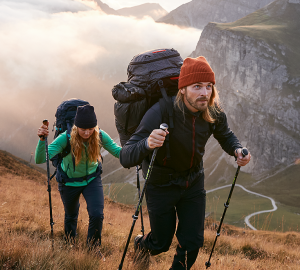
- Ankle-high hiking boots and trekking poles are an advantage.
- The Gimpel (2,173 m) and the Köllnspitze (2,238 m) are in the immediate vicinity of the Rote Flüh with numerous climbing routes of varying degrees of difficulty.
Tour description
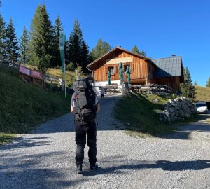
We start our tour at the Gimpelhaus car park in Nesselwängle (1,136 m), which is located opposite the Krinnenalplift. The path is very well signposted and so we follow the signs to the Gimpelhaus.
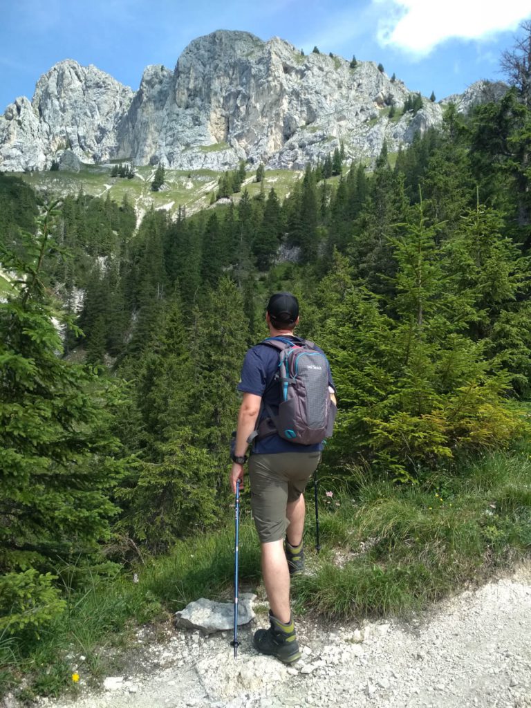
We first walk in an easterly direction and turn left after about one kilometer. We have the south face of the Rote Flüh in view and can already guess here what a magnificent view awaits us.
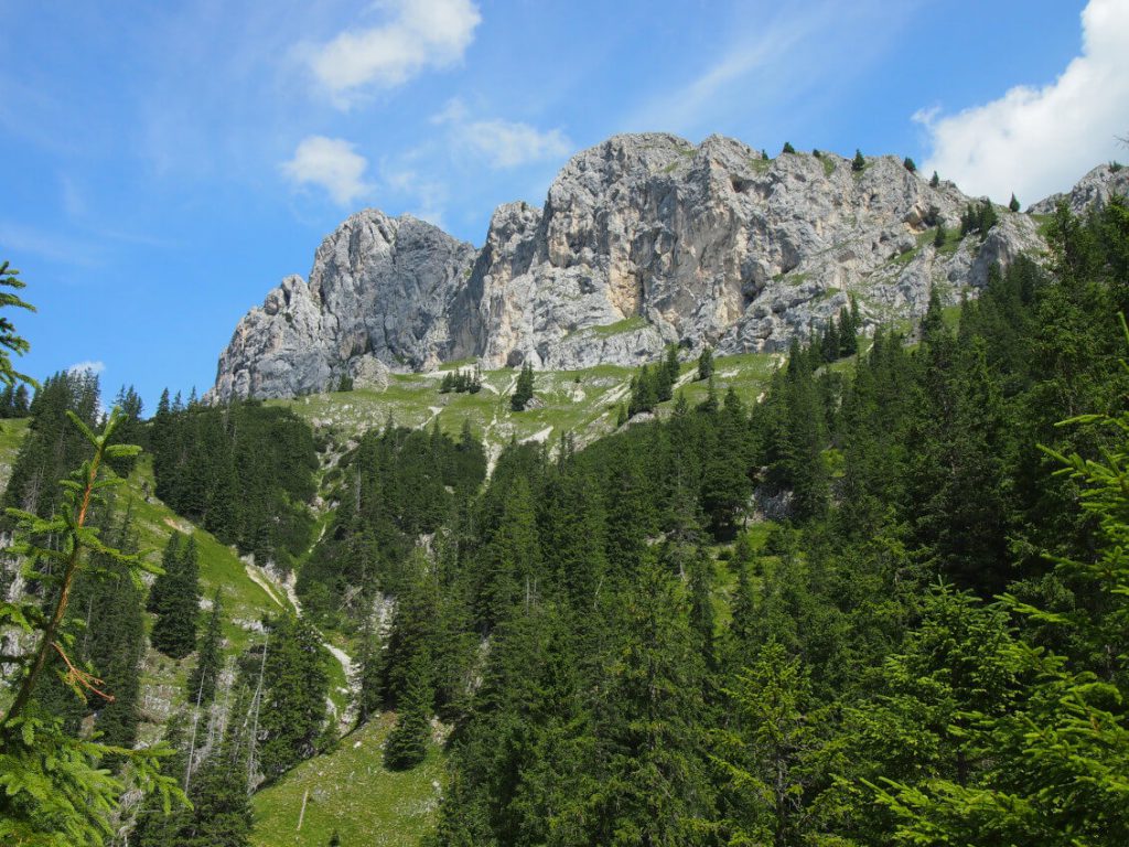
Now we have to be a bit careful not to follow the road straight ahead but to turn right. Both ways lead to the Gimpelhaus, but we decide for the more attractive trail.
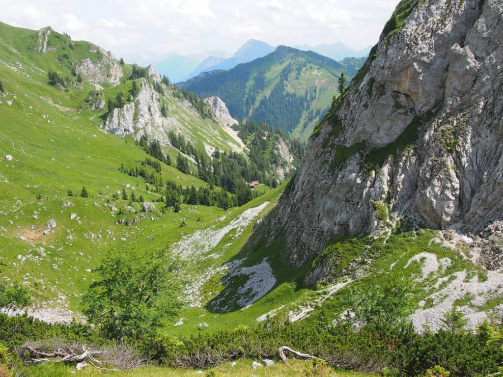
From now on, the path goes steadily uphill through wooded areas, partly in serpentines always in the direction of the mountain hut. From time to time the woods become clearer and we can see the Haldensee and over Nesselwängle into the wide valley. The nature of the terrain is very different, but from a technical point of view does not present us with any major challenges.
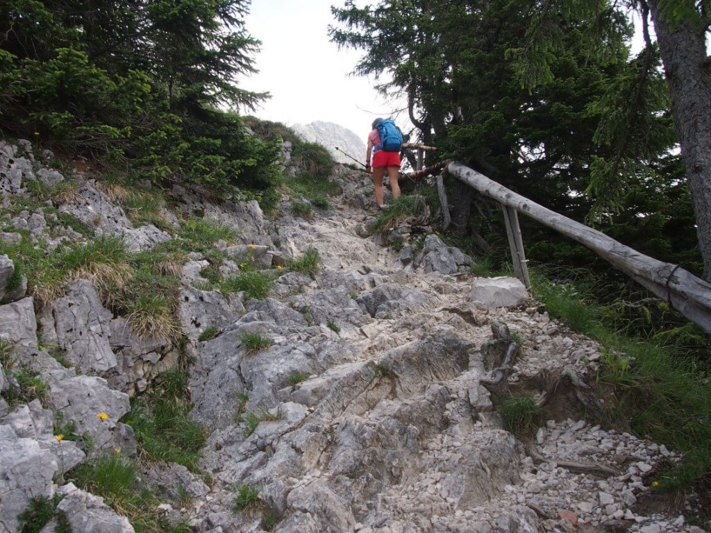
After about 1:30 hours we are directly below the Gimpelhaus and a short time and a few hairpin bends later directly in front of it. If you want to or if you decide later on to descend via the Tannheimer Hütte, you can now strengthen yourself for the last section. But I recommend to postpone the snack a little. After all, the snack* tastes twice as good after a successful ascent 😉. It does not matter whether one takes it in the Gimpelhaus or in the Tannheimer Hütte 😉 (Attention: Tannheimer Hütte is not open at the moment! [Status: 05/2020])
* In Bavaria the snack is called Brotzeit, in Tyrol Jause.
Through the Gimpel Kar to the summit of the Rote Flüh
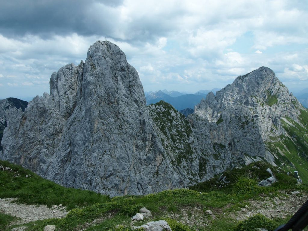
We pass the Gimpelhaus on the right and follow the sign “Rote Flüh”. After a short stretch we reach the timber line and walk across a free meadow towards a crossroads. To the left we go to the Rote Flüh and the Gimpel, to the right the path from the Tannheimer Hütte turns in. We turn left and can now see the Gimpel and the summit of the Rote Flüh. The two paths through the Gimpel Kar and the Judenscharte are also clearly visible.
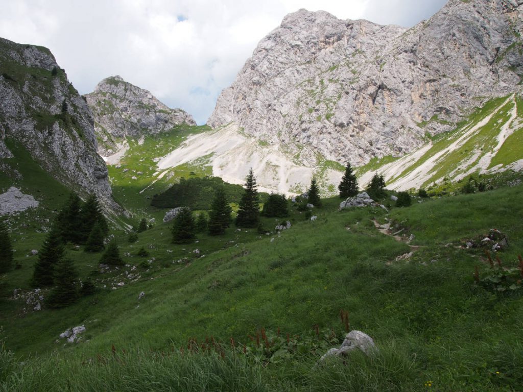
Arrived at the south wall of the Gimpel, we decide to take the left way. This leads up to the Judenscharte at a safe distance from the wall.
Note: The path directly along the rock face can only be taken with a helmet! You should pay attention to this. Rock falls regularly occur on the wall, which can become a real danger for hikers. On our tour we could notice falling stones again and again.
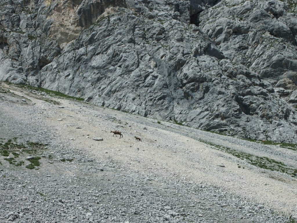
With a little luck you can spot chamois at the Gimpel Kar. The chances are quite high, especially in the early morning hours. But we had special luck on our tour and at 3 pm we could admire a whole flock of chamois crossing the scree field. A truly overwhelming experience. That the animals have got used to humans in the meantime, we could see by the fact that they passed only a few meters away from us.
Short climbing tour on the last meters
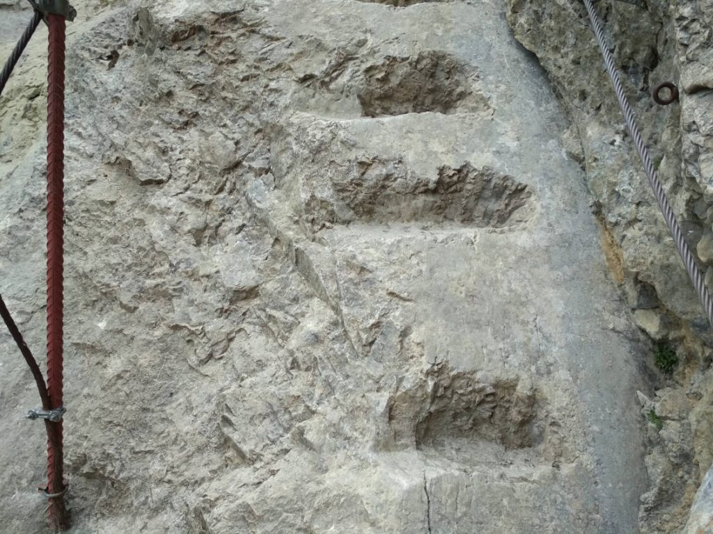
Arrived at the Judenscharte, the rocky section of the ascent now awaits us. Sure-footedness and a head for heights are important here. Steps carved into the rock and wire ropes facilitate the scrambling, at least on the first part.
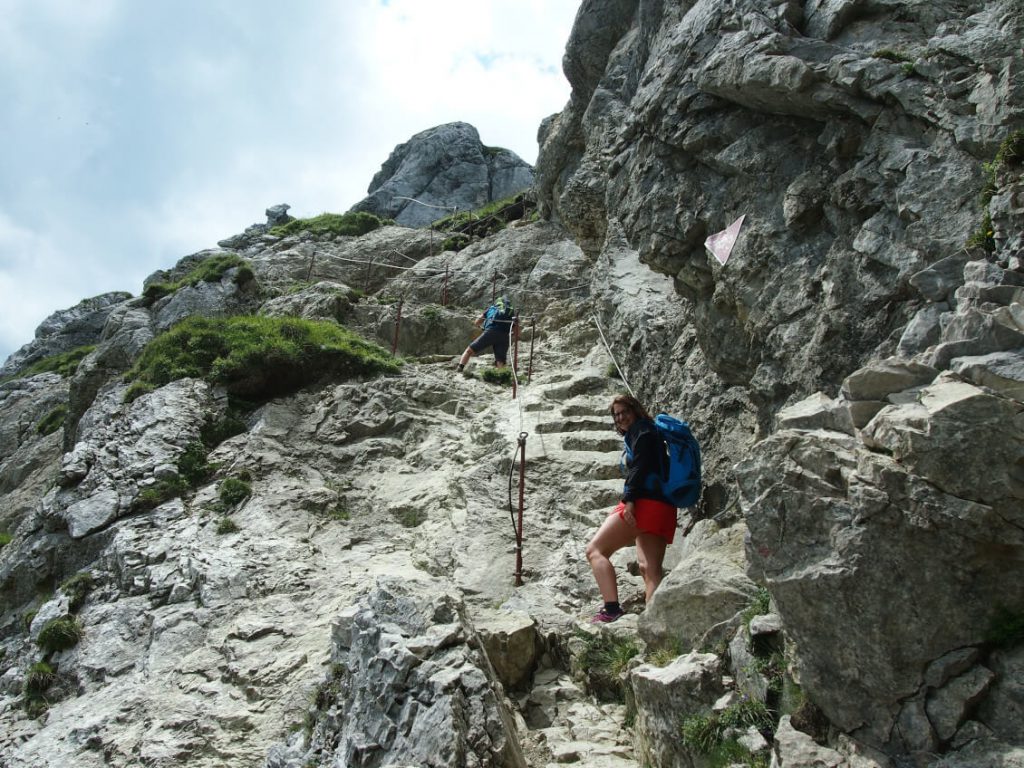
On the last few meters, however, we pack away our hiking poles and attach them to our backpack. Because now we have to use our hands to help. But after this short climb it is done and we can already see the summit cross, which is only a few meters away.
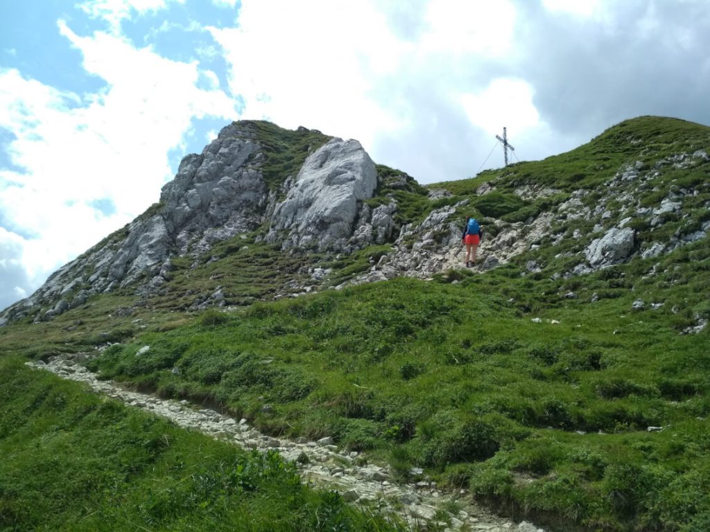
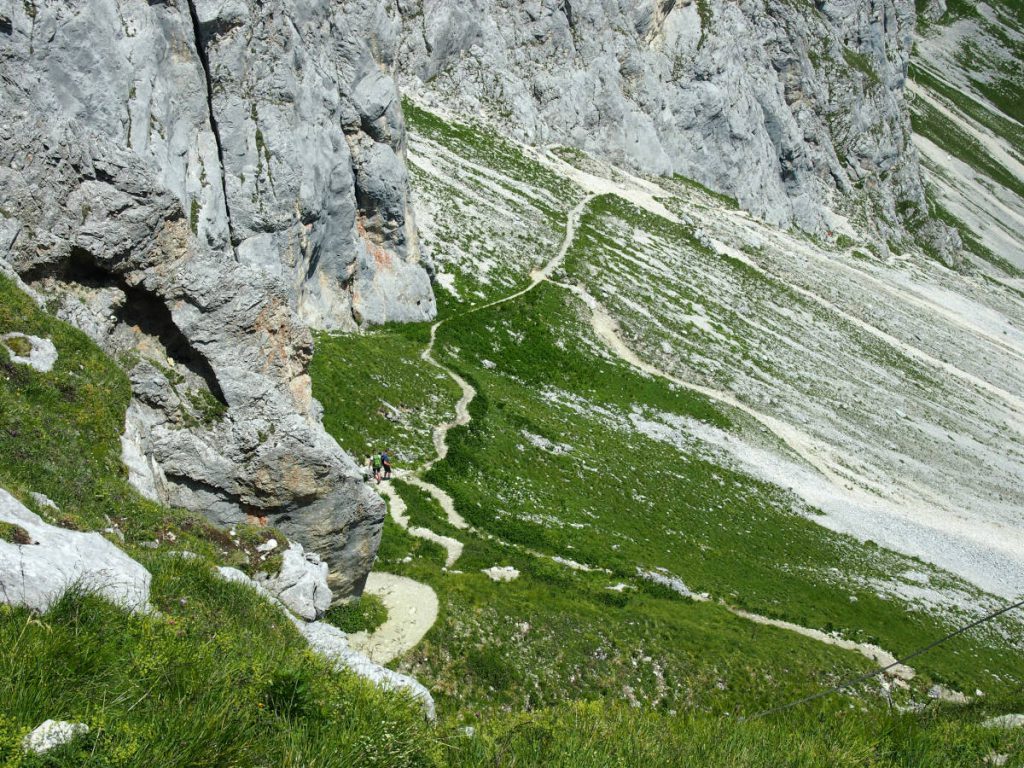
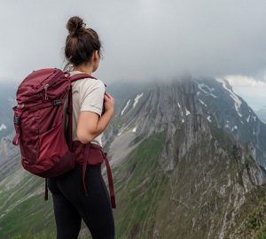
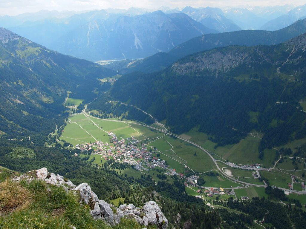
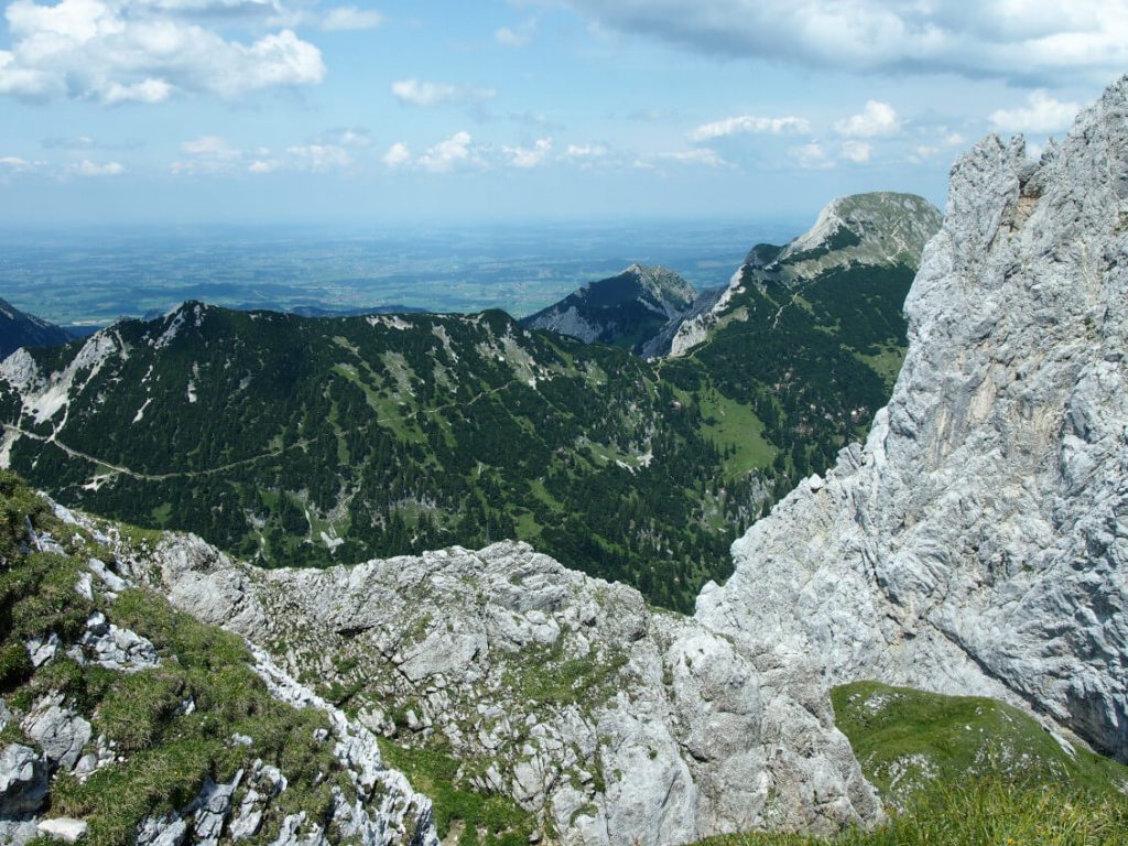
From the summit we have a breathtaking view of the beautiful lake Haldensee and Nesselwängle. Also impressive is the view of the Gimpel, which is located right next to it and whose summit overlooks the Rote Flüh by 65 meters, and the surrounding mountain landscape.
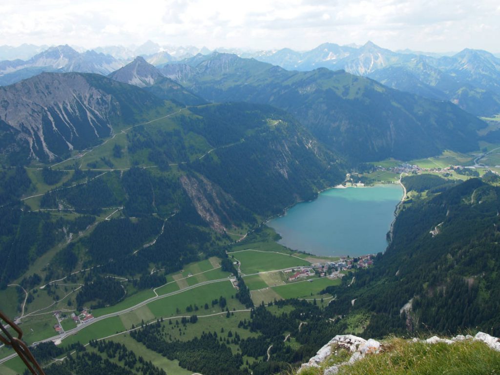
Since we go back the same way, we do not let it be taken away on the descent and stop at the Gimpelhaus for a drink and a snack. From the terrace you also have a great view down to the Haldensee and the surrounding mountain landscape.
After this break we return to our starting point, the Gimpelhaus car park, in about 1:15 hours.
On hot summer days and after a successful ascent of the Rote Flüh, I naturally recommend a jump into the Haldensee 🙂
Further impressions from the hike on the Rote Flüh in the Tannheimer Berge:
Also interesting: Hike to the Seekarspitze – Half day tour with view of the Achensee.


