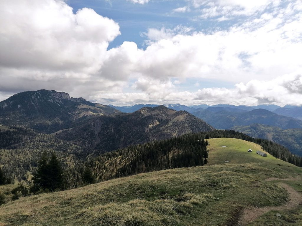
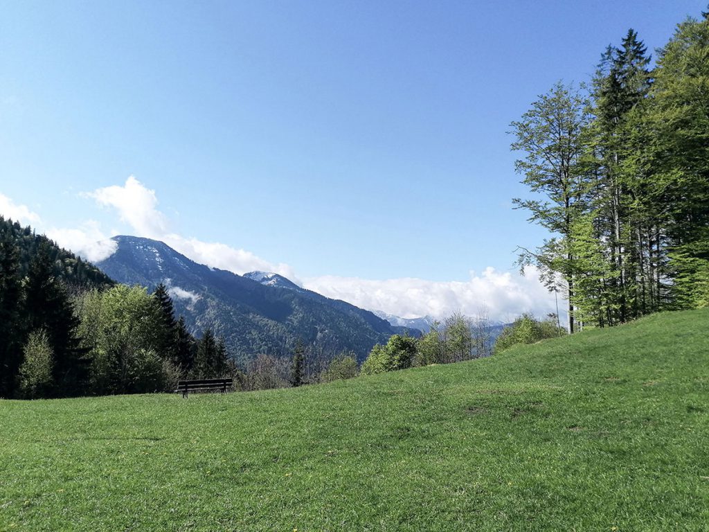
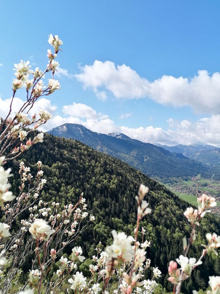
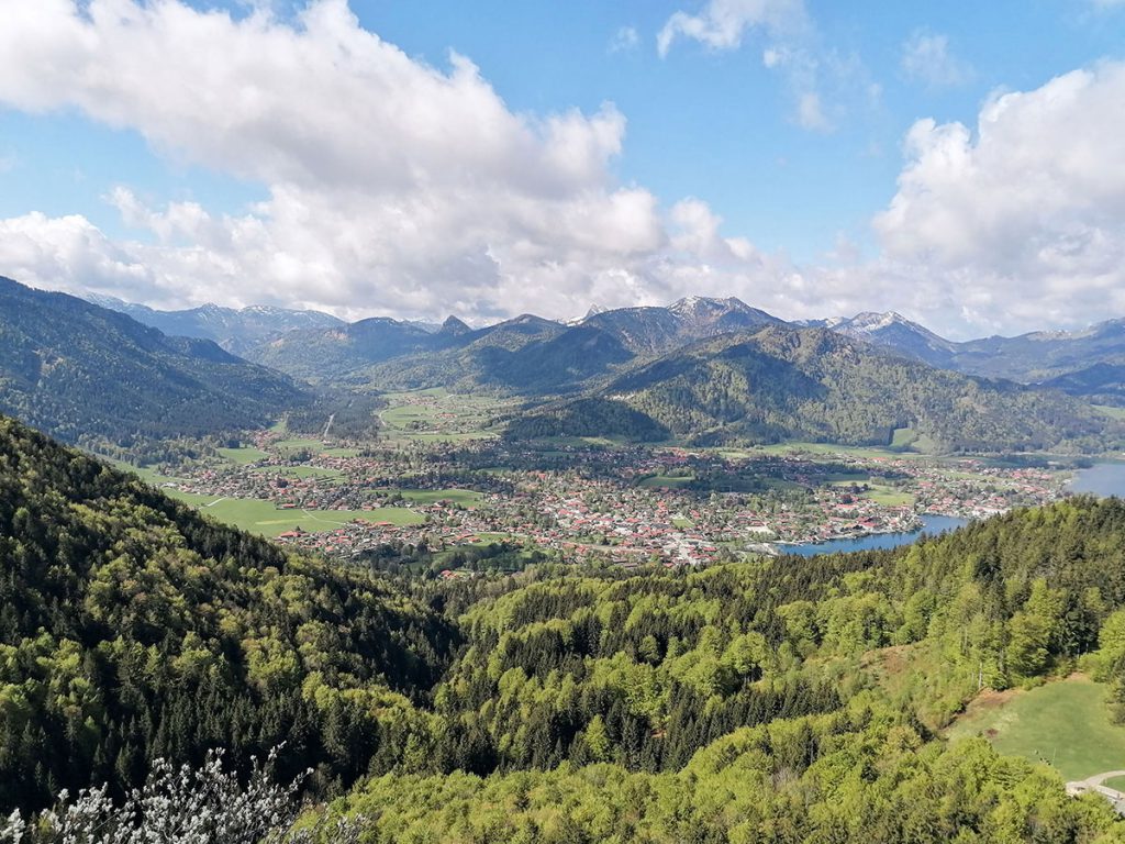
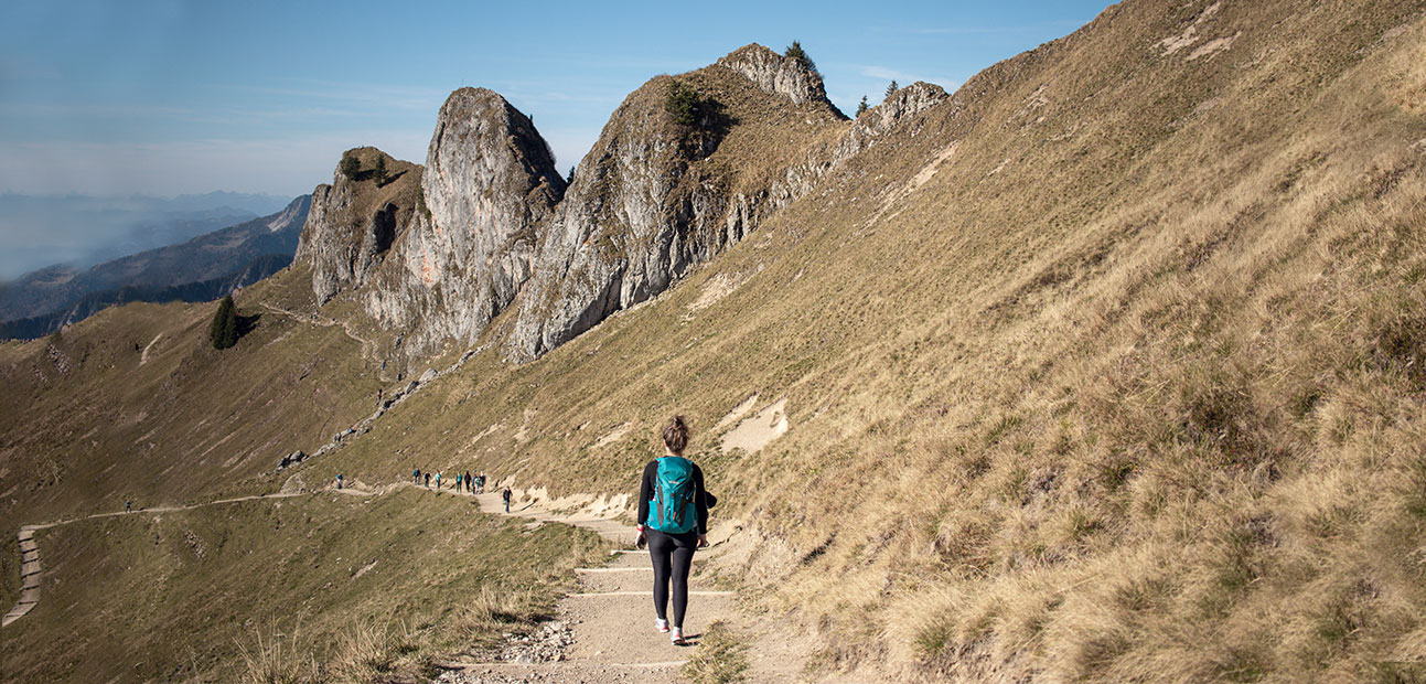
Do you fancy an easy hike in Bavaria that offers you a great view at the summit and is walkable in all seasons? Then my three tour tips are just right for you. All three hikes are especially suitable for beginners, as the walking time is between 3 – 4 hours in total. So perfect on hot days or to make a trip with the whole family.
Rotwand (1.994 m)
Tour data
- Start and end point: parking lot Spitzingsee
- Duration / walking time: 3.5 hours
- Trail length: 14 km
- Altitude difference: 800 hm
- Difficulty: easy
- Refreshment stop: Rotwandhaus (open all year, closed mid-November – 24.12.)
Tour description
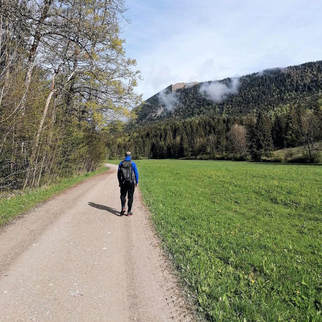
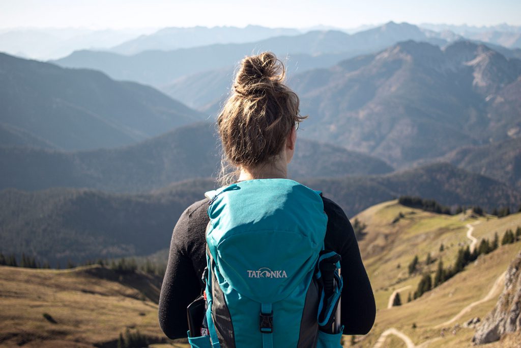
The hike up the Rotwand is a tour that really always works. No matter what time of year, even in winter the path up to the hut is cleared and thus accessible to everyone. We start at the parking lot Spitzingsee. Here there are some possibilities to park the car and it is worth to be there early to get a good parking space and to avoid the crowds. Because the tour is very popular because of the easy way. So we start directly at the parking lot to the Wurzhütte, where we pass a barrier and turn left onto the hiking trail. From here the forest road becomes steep and we quickly gain altitude. Through the forest we can always spy some surrounding peaks and the Albert-Link-Hütte lying below in the valley.
After about 30 minutes we reach a small hut and shortly after we turn right into the forest and follow the signpost further towards Rotwandhaus. Now the wide path winds its way further up and without much effort we hike for another 60 minutes until we slowly leave the forest. After a short time, we pass the beautifully situated and rustic Wildfeldalm hut. Here, for the first time on the tour, we have a clear view of the surrounding mountain ranges and the rocky ridge of the Rotwand. So the destination is in sight. Now the Rotwandhaus at the end of the hiking trail is also recognizable and the prospect of a delicious Kaiserschmarrn makes the last meters of altitude virtually fly away. But as the saying goes: Business before pleasure. That’s why we’re going to the summit of the Rotwand first.
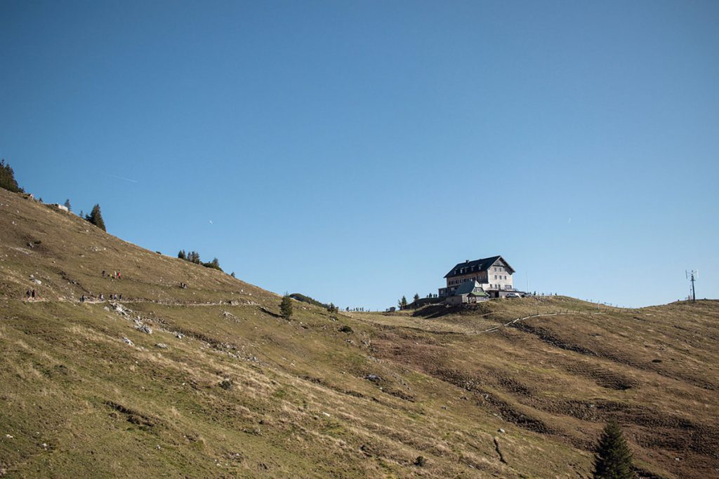
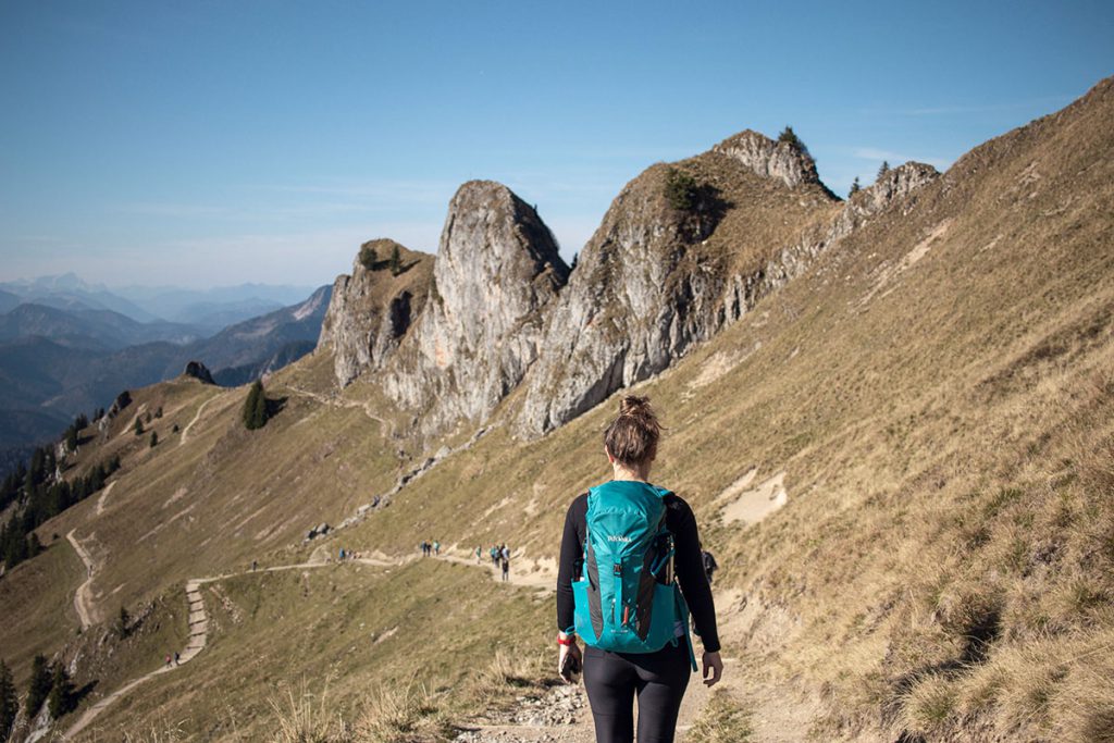
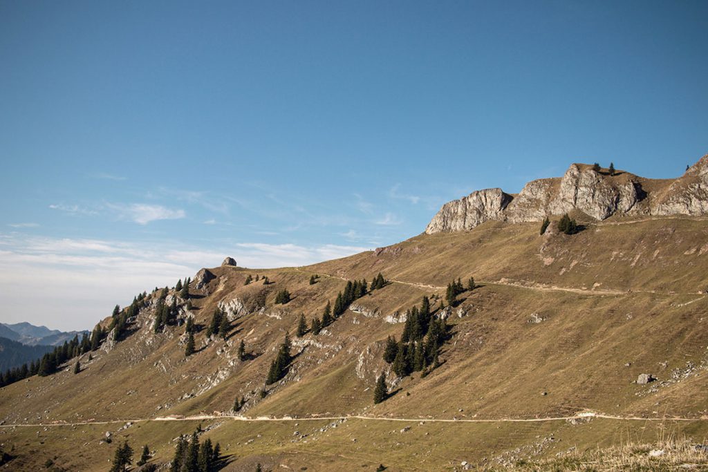
To the left of the Rotwandhaus, a narrow path leads steeply upwards towards the summit. After 10 minutes we cross to the right and below the summit cross we climb a few small steep steps to the top. And already the summit of the Rotwand is reached and we have a magnificent panoramic view!
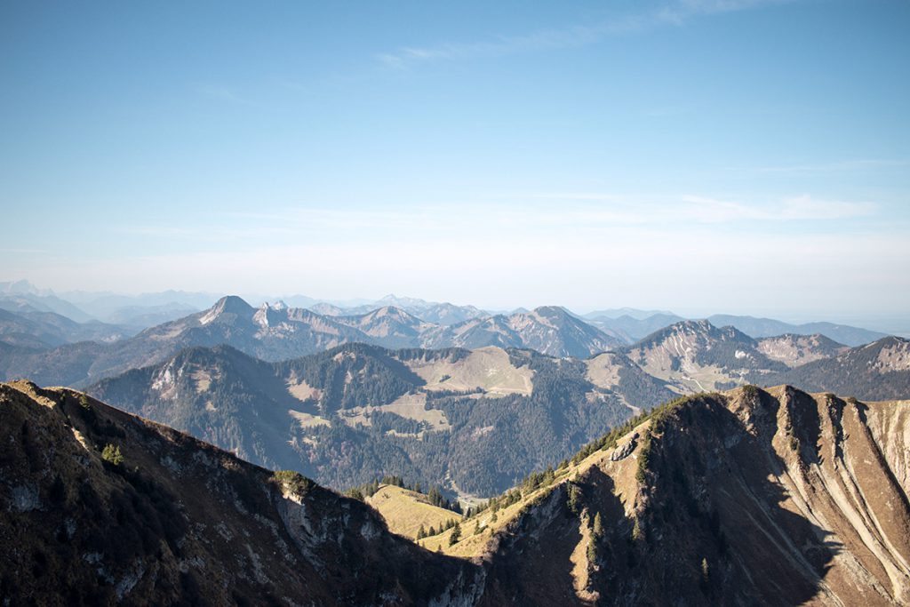
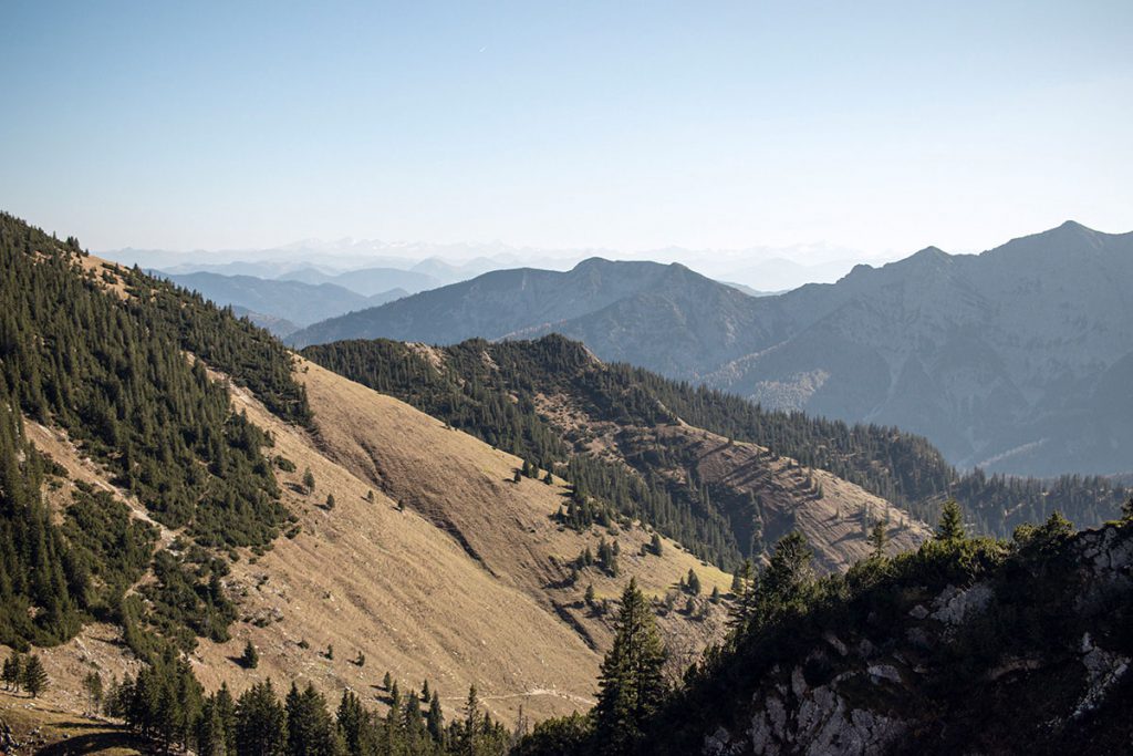
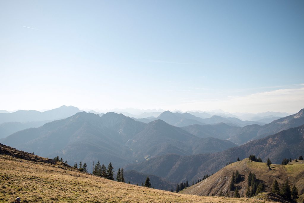
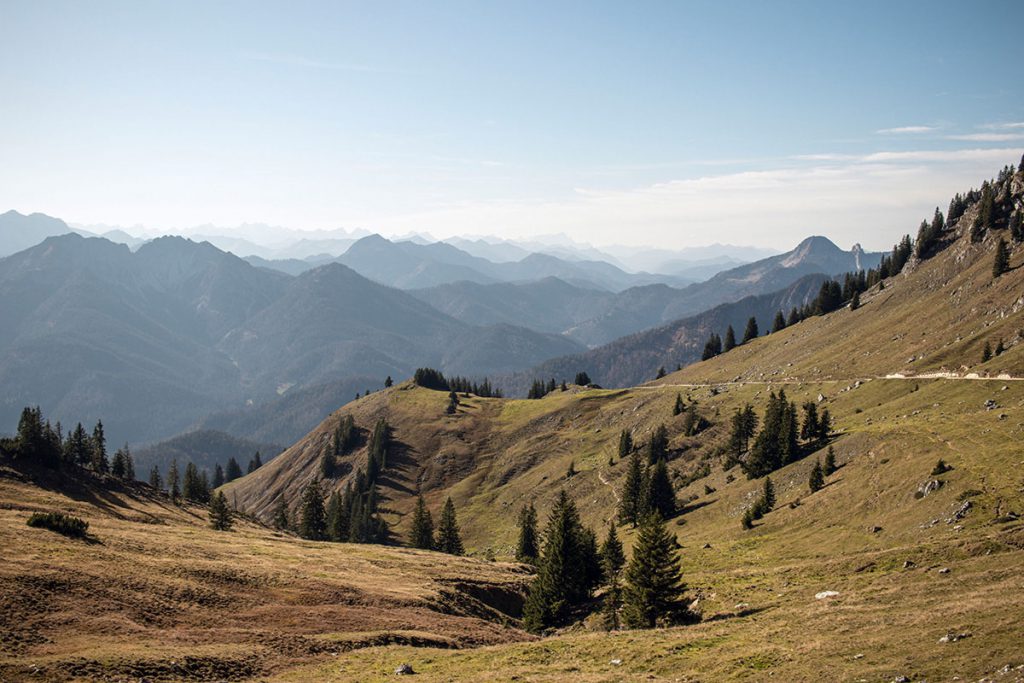
On good days (especially in autumn) you can see up here to the Großglockner. To the south we can see the Hochfeiler and the Olperer. Further to the southwest we can see the Rofan Mountains with the Rofanspitze and the Karwendel mountains with the Lamsenspitze. In the west we see then from the Zugspitze over the Benediktenwand up to the Brecherspitz. Further to the northeast, the well-known Wendelstein and the Kampenwand can be seen. And last but not least, with luck, you can see King Watzmann in the east. Simply a magnificent mountain panorama!
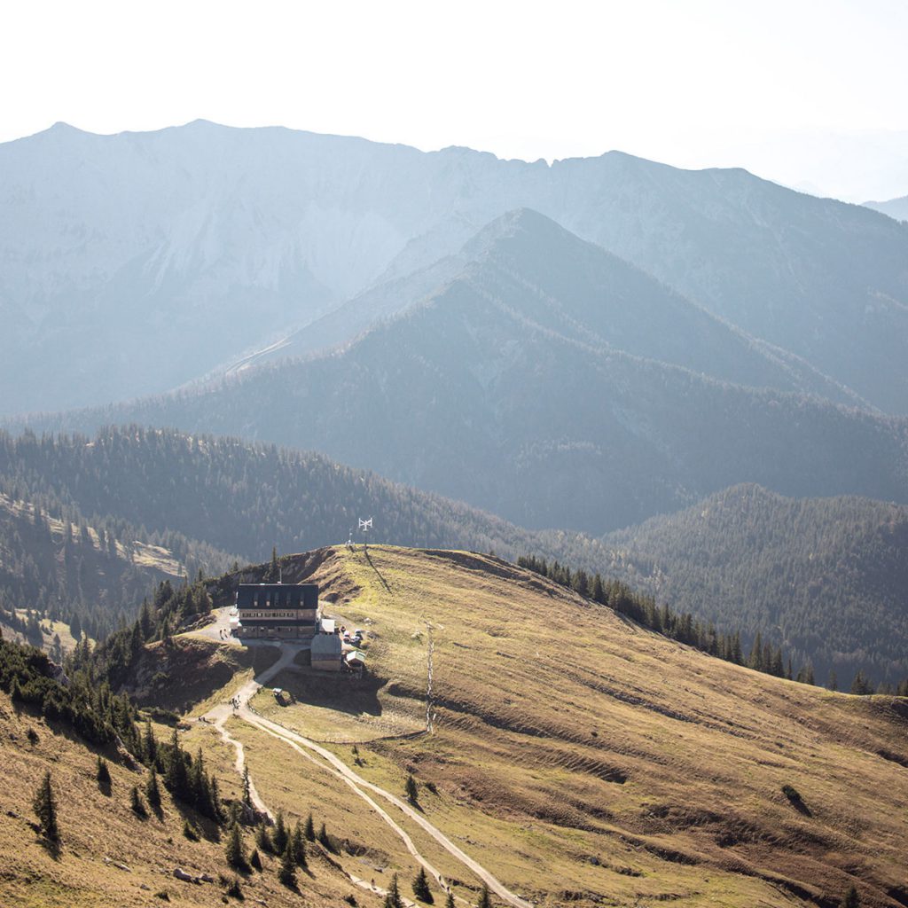
After admiring the mountain ranges, we stop at the Rotwandhaus and treat ourselves to the well-deserved Kaiserschmarrn – eh sure! On sunny days you can sit outside on the terrace and enjoy the panorama during the meal.
Tip: You can stay overnight in the Rotwandhaus and thus have the opportunity to enjoy the sunset and sunrise without having to get up early or descend in the dark.
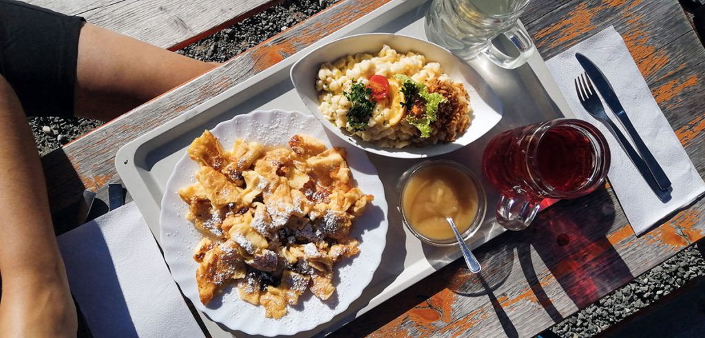
There are several options for the descent:
- If you like it comfortable, you go back the same way.
- Via the summit of the Taubenstein you reach the parking lot within about 2.5 hours – but you have the opportunity to enjoy the great mountain panorama even longer.
- The descent through the Pfannengraben takes about 3.5h and leads you along the “Three Lakes Tour” back to the parking lot.
- Via the Miesingsattel you get back to the starting point in about 3.5 hours.
Hirschhörnlkopf (1.515 m)
Tour data
- Start and end point: Jachenau parking lot
- Duration / walking time: 3 hours
- Trail length: 10 km
- Altitude difference: 750 hm
- Difficulty: easy
- Refreshment stop: Riedersteinhaus at Galaun (open all year, closed on Tuesdays)
Tour description
The Hirschhörnlkopf is the “stepbrother” of the Jochberg and not quite as frequented, but also offers a super beautiful view of the Walchensee and the surrounding mountain ranges. As with all tours, it is worthwhile here to be early at the parking lot to find the path and the summit as lonely as possible. The hike starts directly at the hikers’ parking lot in Jachenau, right next to the Jachenauer Schützenhaus below the church. Since you can do a round trip, it doesn’t really matter how you start. For the ascent, we always take the path over the small bridge and start the tour leisurely on the wide forest path.
Here you will find hiking backpacks in various colors and sizes and with different features. Whether for day tours or multi-day hut hikes.
From fair, transparent and social production!
You can find more interesting articles and tips on hiking in our hiking guide.
After a few meters we can already see our destination for the day: the Hirschhörnlkopf. After about 10 minutes we reach a crossroads where we turn right and continue to follow the signs towards the summit. After a short while there is another junction where we follow the path to the left and walk a steep part of the wide forest path. This ends after about 20 minutes and we continue to follow the signs and now hike up a narrower forest path that winds its way up in switchbacks. It is worth stopping again and again during the ascent to enjoy the view. Because as you gain altitude, the view of the Karwendel mountains opens up.
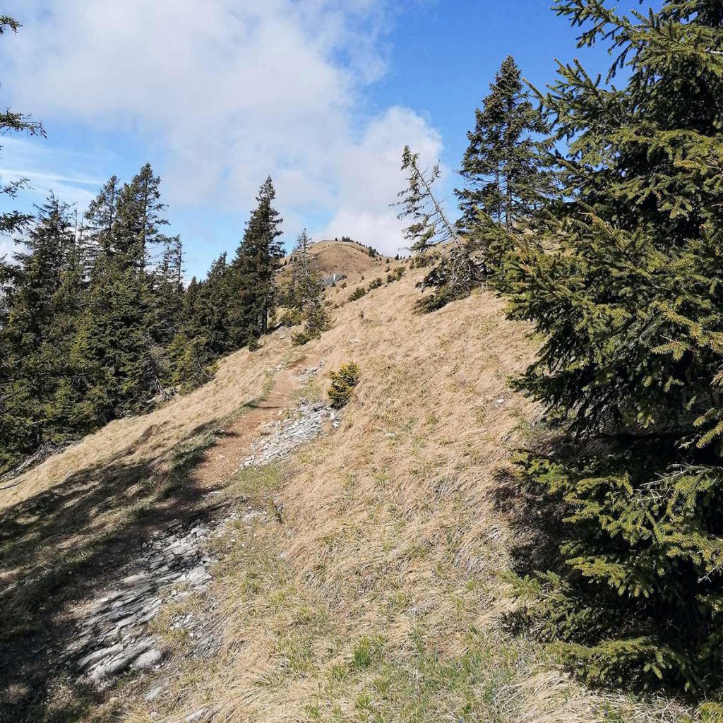
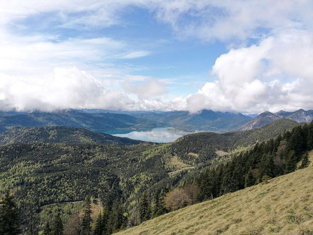
After a walking time of about 70 minutes we reach the grassy ridge, which we continue to follow in a westerly direction until the unmanaged Pfundalm rises up in front of us. From here it is only about 15 minutes to the summit of the Hirschhörnlkopf, which we reach via the mountain ridge in small serpentines. And now we also have the magnificent view of the Walchensee, which has been waiting for us until the end. The perfect summit happiness!
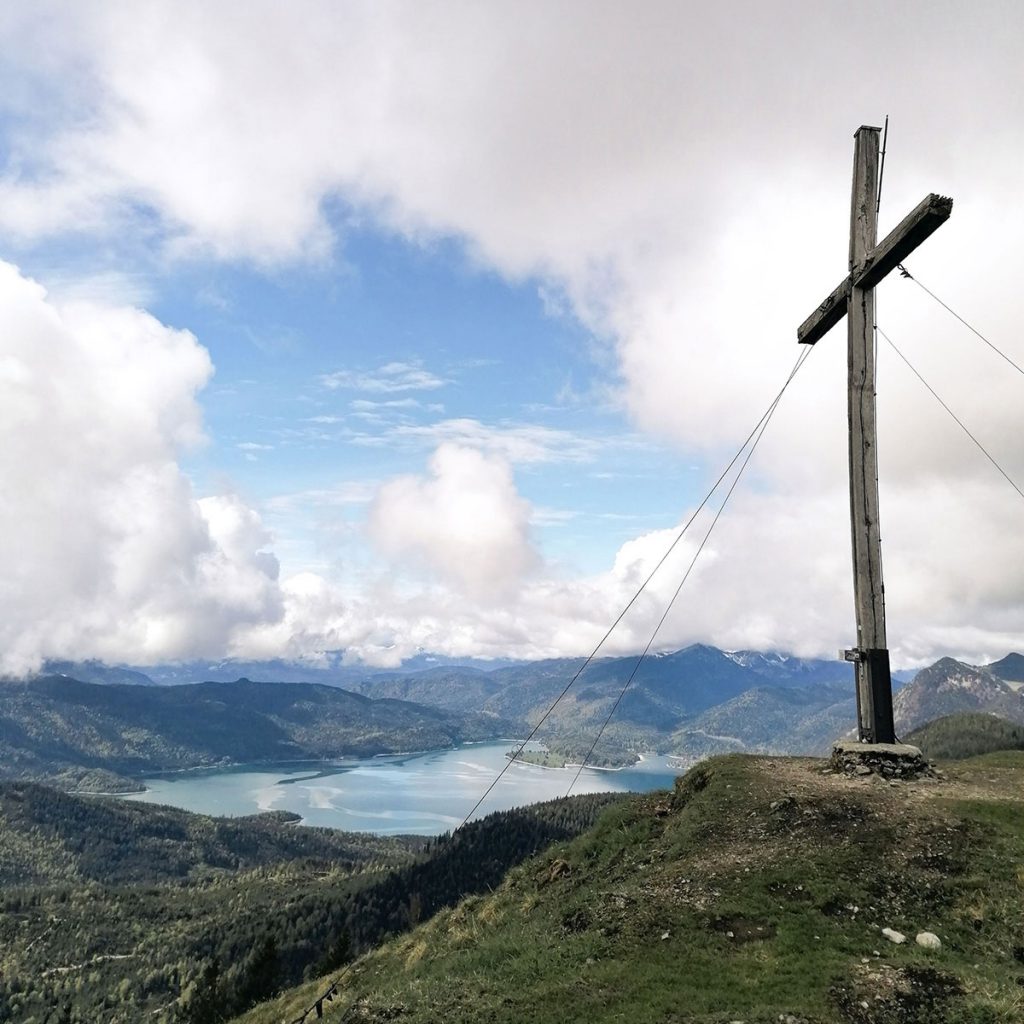

We look for a nice place for our snack and enjoy the view of the lake, the Karwendel, the neighboring mountains such as Jochberg and the Benediktenwand. Since there is no hut up here, it is recommended to pack enough to eat and drink and to look for a quiet place.
The Hirschhörnlkopf is also a rewarding sunrise and sunset tour. However, you should not spend the night here and especially not camp wildly.

The best way to enjoy a plastic-free snack is with our stainless steel range. Whether cups, lunch boxes or drinking bottles.
For the descent there are two possibilities:
- Simply go back the same way.
- Or make the round trip perfect by taking the turnoff below the ridge in the direction of Kotalm and let your gaze wander once again over Lake Walchen – this route takes about 20 minutes longer.
Tip: If you want to cool off in the Walchensee in summer, you can reach it within 10 minutes via the toll road towards Niedernach. There is also a stand-up paddle rental service there.
Baumgartenschneid (1.449 m)
Tour data
- Start and end point: Alpbachtal parking lot
- Duration / walking time: 3 hours
- Trail length: 10 km
- Altitude difference: 650 hm
- Difficulty: easy
- Refreshment stop: Riedersteinhaus at Galaun (open all year, closed on Tuesdays)
Tour description
The tour to Baumgartenschneid is a very popular tour at the Tegernsee, which offers a great view of the lake at the summit. As with the other two hikes, it is advisable to start early as the trail can be very busy. Also with this tour you can decide at the beginning which way you want to go up, as it can be done as a round trip. We chose the somewhat steeper ascent over the Riederstein, which is very varied.
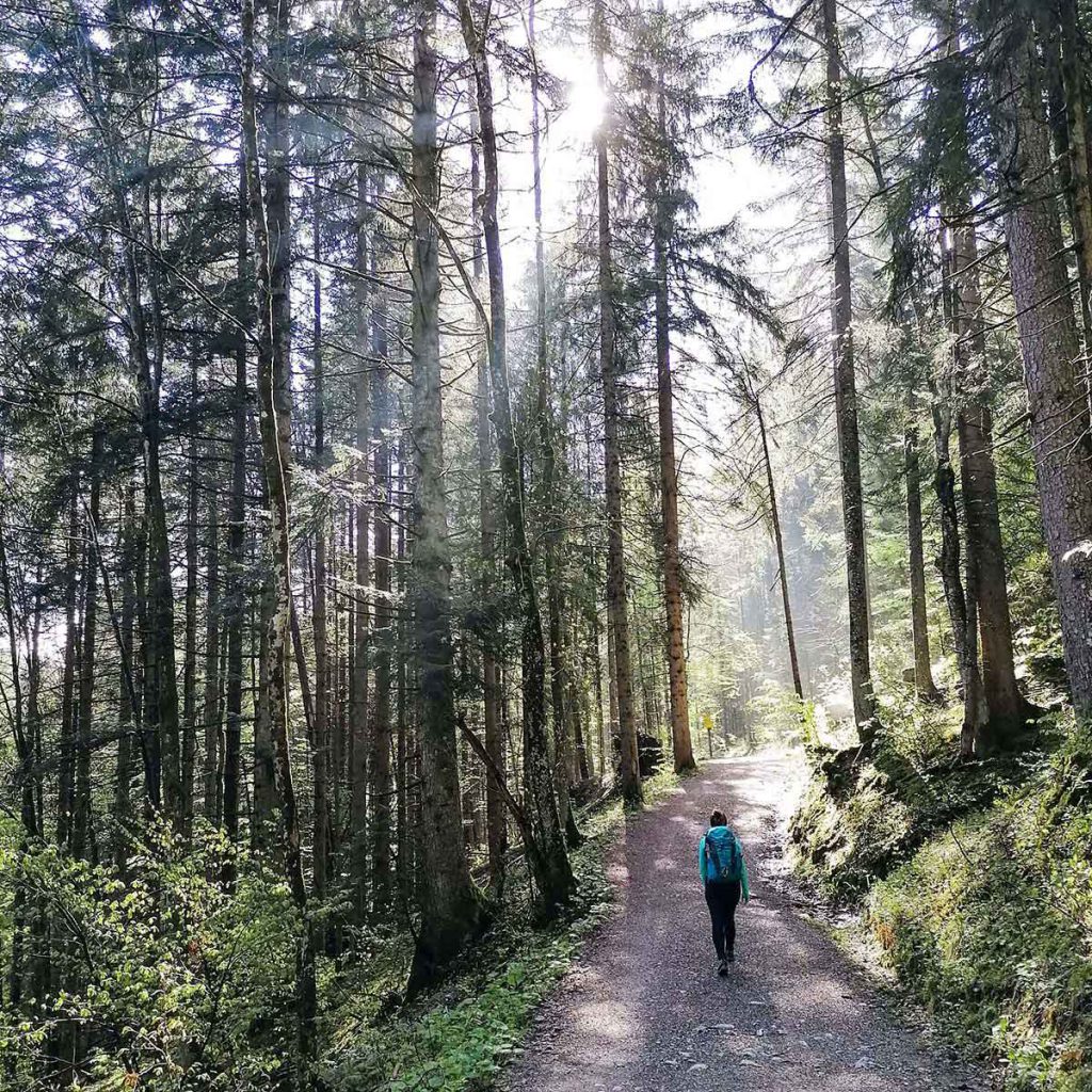
The hike starts directly at the Alpbach and is super well signposted, so there is no danger at all of getting lost! Over some steps we go up through the forest and soon meet the wide forest road. Pleasant is that you go most of the tour through the forest and you have a perfect protection from the sun on a hot day. After about 15 minutes of walking we can get the first view of the Riederstein with the small chapel – super nice! We follow the moderate forest path for another 30 minutes until we reach the Riedersteinhaus. On the meadow in front of the small house are a few benches from which we can enjoy the view over the Tegernsee valley and the first mountain peaks.
We leave the Riedersteinhaus on the left and follow the signs further in the direction of Riederstein. Now comes my favorite section (fun!): Over countless steps it goes up to the small chapel through the dense mountain forest. Within no time we are at the top and turn left on the ridge. Around the chapel is a railing attached, so you can walk once around and enjoy the great view.
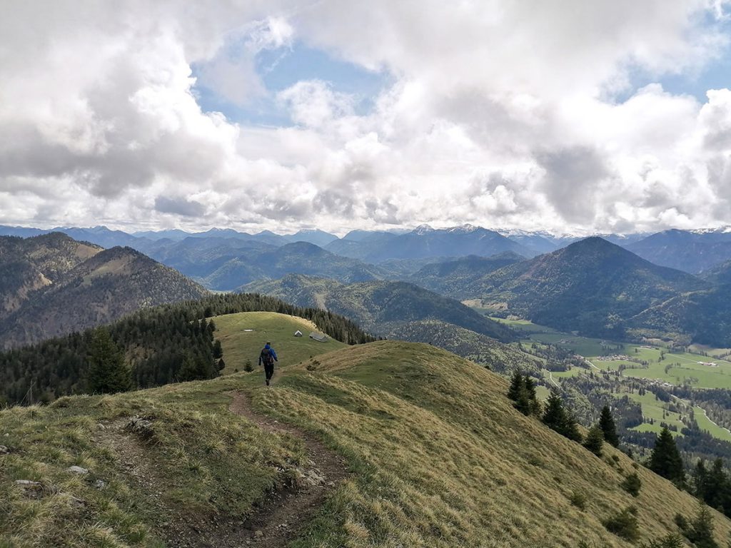
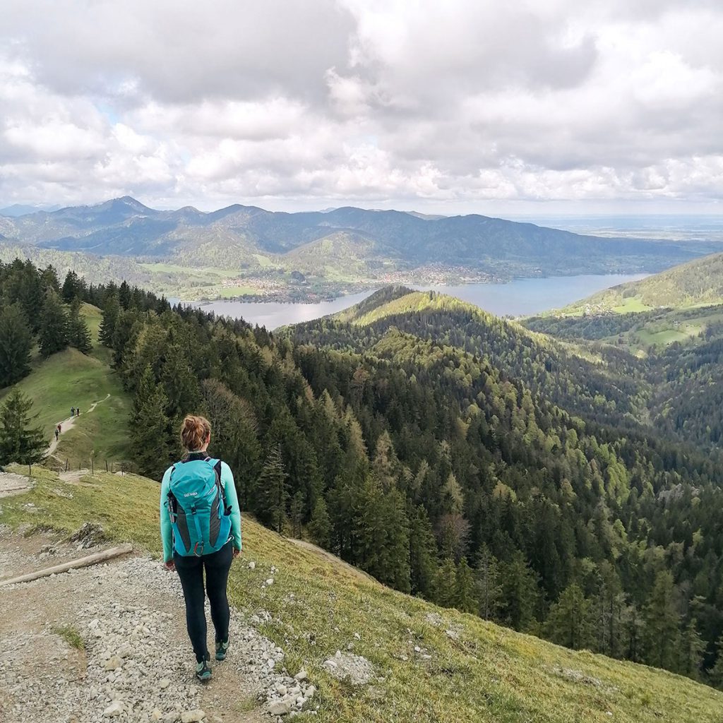
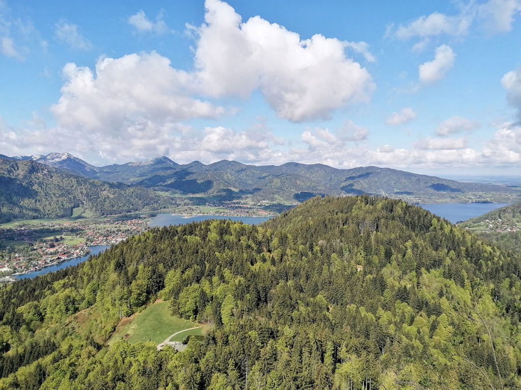
After a short “view break” we continue towards Baumgartenschneid. We hike along the ridge directly over the crest until we leave the forest after about 15 minutes. Now we can already see the summit cross and reach it within a very short time over the grassy slope. We made it! At the summit we have a magnificent view of the Tegernsee, the Karwendel, but also nearby peaks like the Seekarkreuz or the Hirschberg. Since there is also no hut near the summit, it is recommended to take your own snack and enjoy it with the great view!
For the descent there are again two options:
- Walk back along the ascent path.
- Or round off the round tour, follow the signs at the summit to the left in the direction of Sagfleckl and let the hike through Alpbachtal come to an end.
Tip: In summer, Lake Tegernsee is of course the perfect place to cool off! At “Aran”, right by the lake, you can grab a delicious piece of cake and dangle your legs directly into the cold water.
More impressions of Maria’s hikes on the Rotwand, the Hirschnhörnlkopf and the Baumgartenschneid:
