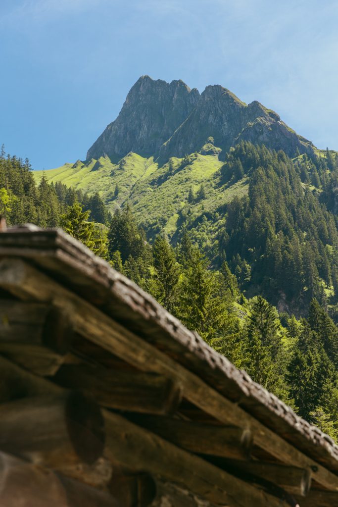
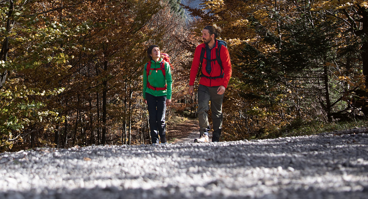
The hike up to the top of the Höfats would be an extraordinarily challenging hike, which even extremely experienced mountain sportsmen and women should dare to do. But: Does it always have to be a summit climb? How about a round trip instead? After all, the circular route around the Höfats offers breathtaking views of the mountain as well as several other Allgäu Alpine highlights and cozy places to stop for refreshments.
Höfats round walk: The route
The circular route around the Höfats starts in Oberstdorf. There you can park, for example, at the festival hall Oybele. It is also possible to get there by train.
The trail is very easy to find – especially thanks to the good signposting in the Allgäu Alps. If you stick to the following stations, which are all written on the signposts, navigation during the hike should not be a problem and you can fully concentrate on the ever new exciting views of the Höfats.
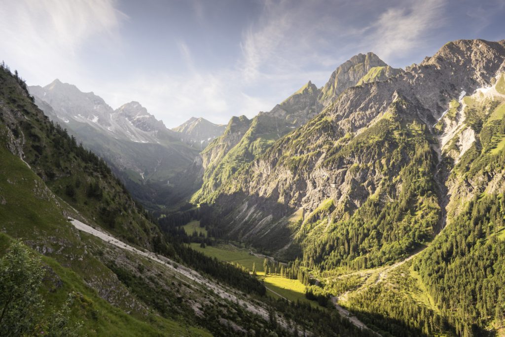
In Oberstdorf you first walk to the Mühlenbrücke and from there in the direction of Café Jägerstand / Dr.- Hohenadlweg. Alternatively, the direct ascent to the Kühberg or to the Oytalstraße is also possible from the Oybele Halle. The first stopover is then the Oytalhaus. Looking back over the wide hairpin bends, you have a fantastic view over the entire valley. Directly on the edge of the path is the Stuibenfall, which can be really considerable depending on the amount of water.d
From there you continue to the Gutenalpe and then up to the Käseralpe. The panorama with the Großer Wilden in the background compensates for the ascent.
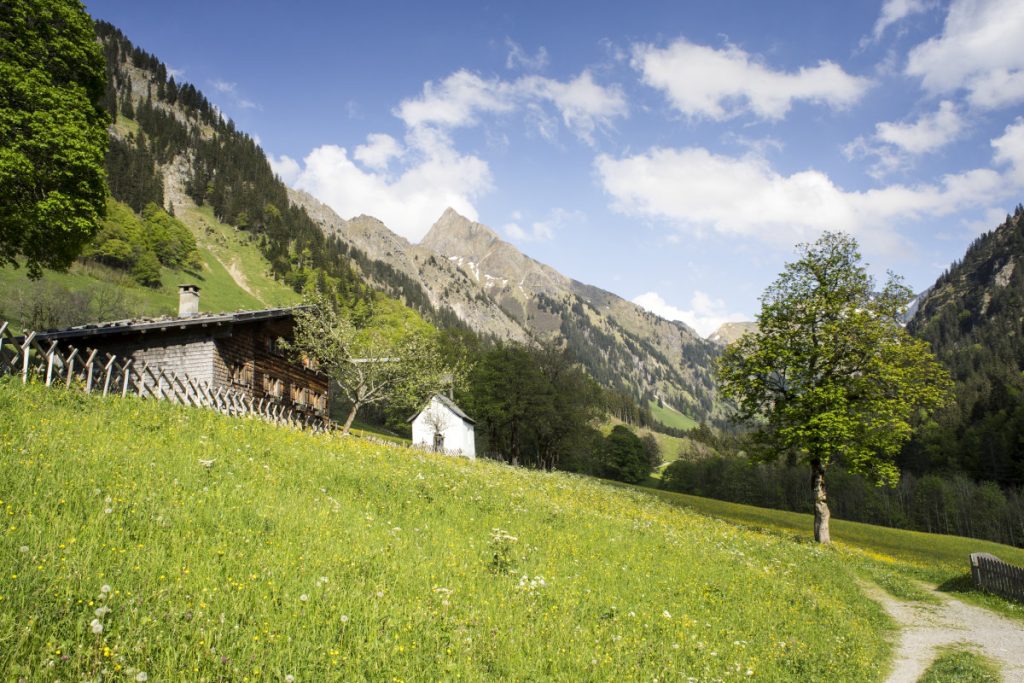
The next stop on your hike is the Älpelesattel. Here you can see on one side the terrain rising to Höfats, while on the other side it goes steeply up towards Rauheck. From there you continue in the direction of Dietersbachalpe. Then you follow the path to the picturesque historic settlement of Gerstruben with its browned wooden houses. The small mountain farming village was inhabited until the 19th century. Today, some lovingly restored alpine huts and a small chapel remain. Among the old maple trees, this quiet spot offers a lot to discover. Finally, the tour continues through the Trettach valley back to Oberstdorf.
Of course, you can also start the hike in the opposite direction. This has a very special charm: At the Oytalhaus you can borrow a “mountain scooter”, with which you can jet relaxed into the valley. This not only shortens the last stage of seven kilometers, but also ensures great fun! The scooters are available from 3 p.m. for a rental fee of eight euros.
Level of difficulty of the Höfats circuit
The hike around the Höfats is about 22 kilometers long. You will overcome about 900 meters of altitude. So you should bring along some stamina. After all, you will be on the road for almost eight hours. It is also important that you start early and plan enough breaks. This way you can enjoy the view and make sure that you will be back in time before the evening.
The trails you’ll travel on the loop range from wide tar roads and gravel paths in the valleys to narrow, sometimes steep hiking trails, especially at the Älpelesattel. So you should be sure to have good footing and some experience in mountain hiking.
Sturdy hiking boots are a basic requirement for the hike around the Höfats. What else you need for a carefree hiking day in the mountains, you can find on our checklist.
Also interesting: Hiking with children in the Allgäu
Refreshment stops around the Höfats
As you may have noticed, the hike leads past several alps – there are five in total! So there are plenty of options open to you for a restorative break.
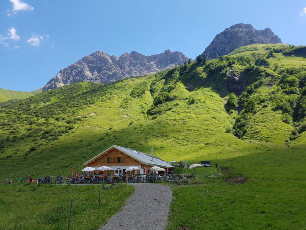
A special highlight is the Käseralpe (cheese maker alp). Here you can find – as the name might suggest – genuine Allgäu mountain cheese, where you are guaranteed to know where it comes from. You can also enjoy the view of Höfats and Himmeleck on the large terrace.
Here is a brief overview of all the refreshment stops along the route:
- Untere Gutenalpe
- Käseralpe
- Dietersbachalpe
- Gerstruber Alpe
- Oytalhaus
Excursus: Where does the name Höfats come from?
There have been several, sometimes adventurous, attempts to interpret the origin of the name Höfats over the years. At first, it was believed that the name had a Romanic origin. A field name researcher wanted to trace the naming of the mountain back to the name “Herfart” (Harifrid) – a farmer who is said to have built an alpine pasture on the mountain and thus became the eponym. Also a reference to the description of the majestic shape of the mountain as the “Hoffärtige” came into question. But none of these attempts at interpretation really hit the mark.
Today the mystery of the name Höfats seems to be solved. The Germanist Thaddäus Steiner was able to show that the word goes back to the Walsers (an Alemannic ethnic group in the Alpine region) who lived in the area. The latter referred to a pasture as “Atz”. A “Höchatz” is therefore quite simply a high pasture. In the Oberstdorf dialect, the “ch” became an “f” and the name for the mountain was born.
