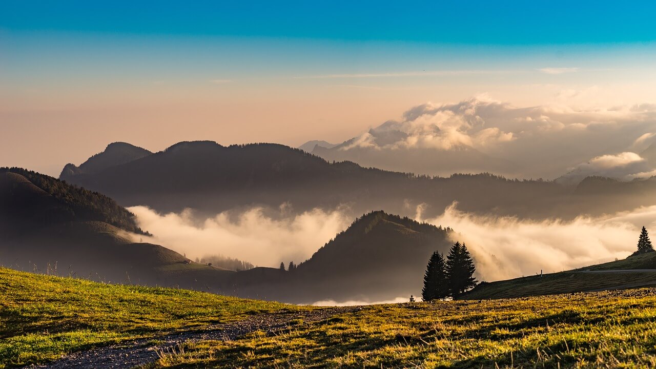
We had 3-4 days off and wanted to enjoy our home country in the local Bavarian mountains, on our doorstep so to say. Summer, sun, mountains, Alpine meadows, cow pastures, flowing trails and comfortable huts – this is what we had in mind. Let us pack our backpacks, stow our bikes in the car and go to Lake Tegernsee! Our tour started at the “Söllbach” hikers’ parking lot in Bad Wiessee.
1st stage: approx. 13 km and 700 metres in altitude to the “Lenggrieser” hut to 1,340 m
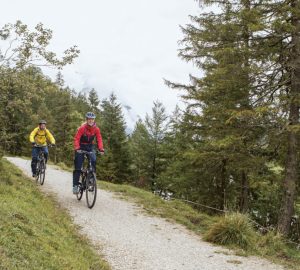
After our journey there by car, this stage was just about right to warm up. We cycled via a forest road over the Söllberg mountain, enjoying pleasant temperatures and the white and blue sky. But only after one hour the BLUE of the sky turned into a dark GREY and it started to rain heavily. It did not matter tho, we had already booked our accommodation at the Lenggrieser hut!
Past the “Aueralm” we continued up and down towards the “Neuhütten” pastures. There were so many nice places to stop for a bite to eat but it was not very tempting to first get out of the wet rain wear and afterwards change back into. So we carried on. After a trail through a meadow – or, should I say, after a glissade – we had to conquer the last climb and we arrived at the Lenggries hut in heavy fog. It had cooled down in the meantime and we were looking forward to a warm place. A lot of hearty food, great hut chitchat and comfortable beds were awaiting us.
2nd stage: approx. 38 km and 1,400 metres in altitude to the “Guffert” hut to 1,475 m
Unfortunately, we were not plessed with a nice view the next morning either. The fog was persistent and it was still raining. At around 10 am the rain died down and we started with dry equipment – thanks to the Lenggries hut’s drying room. But it would not stay like this for long. First we continued downwards on the forest road from the day before, then it turned towards the “Rauhalm” pasture and was followed by a climb towards the “Seekarsattel”.
Everything was steaming – from above, from below – and so were we. According to the description, we were supposed to have a great view into the main Alpine chain right out of our saddles. But we would rather have needed a rear-fog light at this sight. Nevertheless, the drive downhill past the “Rauhalmen” was still great. With a little bit of imagination we were able to see what it could look like in with sun and a clear view :-).
After walking the bikes through a forest and many puddles we finally arrived at the “Söllbach” valley. We then continued on a forest road towards the “Schwarzentenn” pasture. The chilly temperatures led us directly to the hut for our lunch, a warm soup. After we had warmed up again, we continued further downhill into the “Weißach” valley, where we turned towards Austria.
Following the Weißach river we crossed borders towards “Achenwald”. It was already afternoon when we stood at the turnout towards the Guffert hut. We had originally planned to spend the night there but that would have also meant cycling uphill another 800 metres in altitude. But since our “working temperature” had gone down due to cold and wet we decided to change our plans and looked for an accommodation in the valley.
We finally found a hotel in Achensee. The receptionist could tell from one look at us that we needed a warm sauna immediately. Lucky us, the sauna master took care of the sauna infusion himself. No matter how comfortable it might be in a hut in the mountains, on that day we clearly would have never traded our perfect accommodation in the valley with anyone.
3rd stage: approx. 60 km and 1,000 metres in altitude via the Guffert hut back to Bad Wiessee
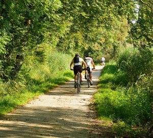
Finally, the sun came out. We started with a heavy breakfast because we had to continue on the mountain trail that we had skipped the day before. The trail lead through a mountain forest on serpentines, steadily but well-ridable, uphill. The closer we got to the Guffert hut, the more bikers we met.
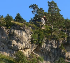
The tour is very popular with mountain bikers and also part of a bike marathon of the Tegernsee Bike Festival. We made a short stop as we wanted to continue our tour quickly. Because now we had a 10-km long downhill stage ahead of us, leading towards the “Erzherzog Johann” retreat. How exciting! We enjoyed the wild canyon and mountain crest landscape and absorbed every sunbeam on our way down.
Our route forked off shortly before the “Erzherzog Johann” retreat when we arrived at the bottom of the mountain. Along the Bairache river our route led us back to Bavaria. The closer we got to the border, the worse the trail turned. The second we arrived in Bavaria, we had to carry our bikes for a bit – but it was worth it.
Our road turned into a slightly ascending single trail that almost led to the “Bayralm” pasture. This pasture may not be farmed any more, but we could get drinks from the fountain in front of the pasture paying through a box at the hut. As we did not have to face any bigger climbs any more we enjoyed the time up there, drank shandies and had lunch. Continuing our tour for a few more days suddenly sounded like a good idea :-)).
Shortly after the “Bayralm” we went downhill through the “Langau” valley. And there awaited us another highlight: The BayFS-Trail, Bavarias first so-called “Forstamts Trail” (forestry commission office), a single trail especially made for mountain bikers. After this last exciting stage with cycling challenges we only had to go via Kreuth back to Lake Tegernsee. One last bit along the lake and we were back at the parking lot in Bad Wiessee.
It was great fun and we promised to be back with sun.
Equipment
- I chose a bike backpack by Tatonka with the following contents:
- First-Aid kit
- Wash bag
- Travel Towel
- 2 jerseys (long-sleeve and short-sleeve)
- 1 pair of cycling shorts
- 1 pair of long fleece trousers
- Underwear
- Arm and leg warmers
- Rain wear
- Light shoes for the hut
- Sleeping bag for the hut
- Beanie, gloves, sun glasses
- Energy bars, bread, smoked sausages, chocolate
- Lock, pocket knife, tour description, compass map


