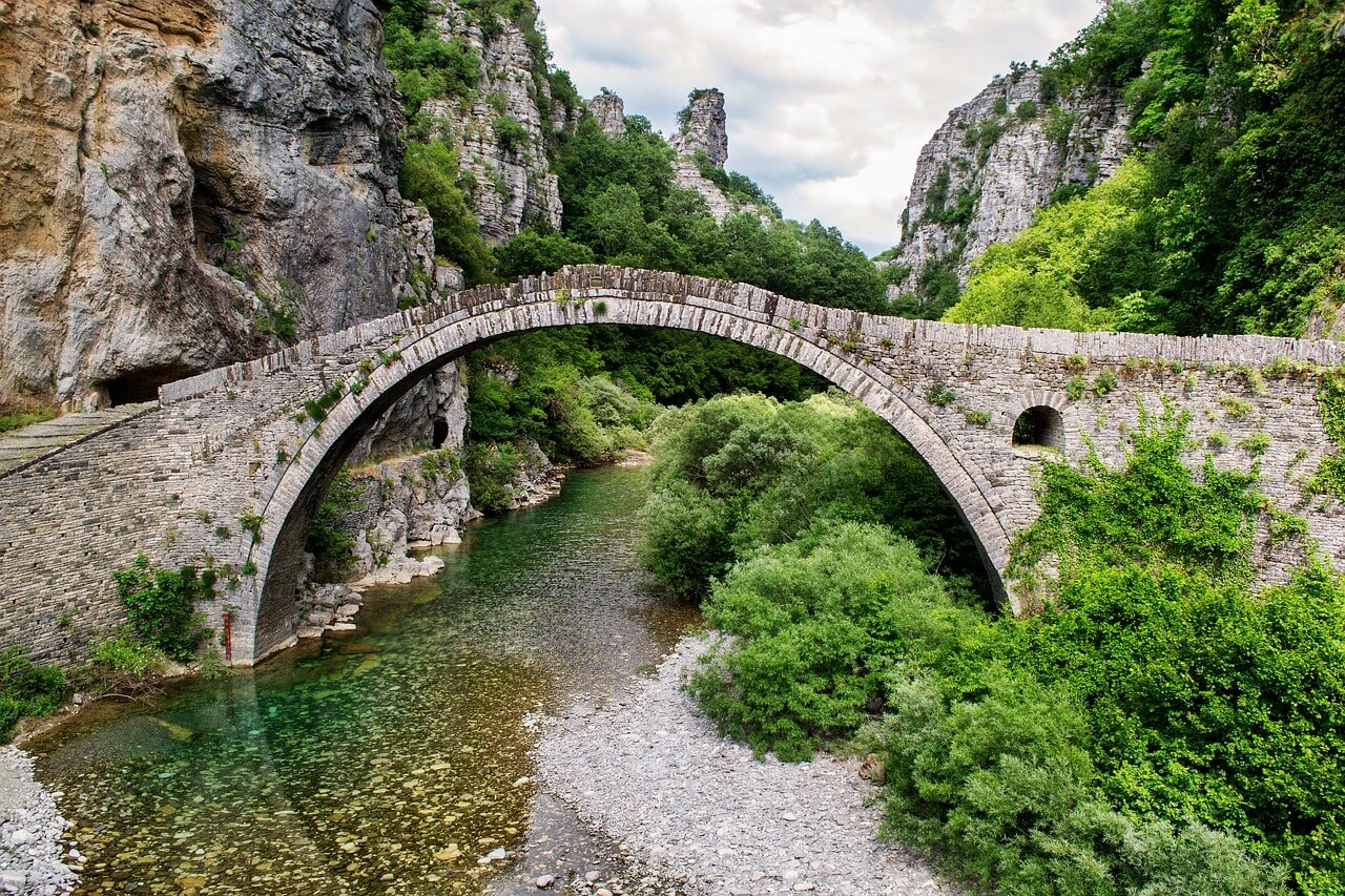
The Peloponnese is many things: Heartland of ancient culture, dream destination for those seeking recuperation or sun-worshippers and also for lovers of extensive trekking tours in an impressive landscape. The long-distance hiking trail E4 runs from the north to the south of this southern peninsula of mainland Greece: A route full of variety through magnificent scenery.
The contrasts in the Peloponnese make it very impressive: You can get away from the busy cities by taking a hiking trail through the ever-changing landscapes, past long sandy beaches, craggy coastal cliffs, through rich vegetation or arid olive groves, along dry river beds or up into the harsh limestone mountain range Taygetos.
Picturesque mountain villages, their foundations laid back in the Middle Ages, invite you to take a rest and impress trekkers with their tranquility, remoteness, authenticity and closeness to nature. At the side of the paths you come across the remains of times long gone, traces reminding you of ancient myths.
The nicest time to travel and for hiking in the Peloponnese, as for other Mediterranean areas, is spring when the island is covered by lush vegetation and a wealth of flowers and blossoms. In summer nature dries everything and temperatures around 30° are a problem for people and animals.
E4: European long-distance hiking route of more than 10,000 kilometers
The long-distance hiking route E4 today begins at the southern tip of Spain and runs along the Catalan coastline, through France and Switzerland, through the border area between Austria and Switzerland to Hungary. Here the route is interrupted until it begins again in Bulgaria from where it runs through The Peloponnese and via the island of Crete to Cyprus. The complete distance of this route is over 10,450 kilometers.
The Peloponnese: Impressive scenery, fascinating legends, diversified routes
On the Peloponnese the long-distance route E4 begins in the port of Egio, to the east of Patra and takes you in around 100 hours on foot via Kalavrita, Vytina, Tripoli and Sparta to Githion.
Right at the start the trek follows the rail track through the Vouraikos Canyon, with its entrancing lush vegetation and impressive form of the rock faces. Carry on to Kalavryta and finally you reach the mountain village of Planitero by following the E4-signed goat tracks and field paths. The trail continues to Krinofita and Pagrati and the nearby impressive grapevine Pausanias, estimated at between 1,000 and 2,000 years old.
Your walk continues to Vytina, past imposing green canyons, in the middle of which the Kernitsis cloisters were built on a protruding outcrop. The next stage of the E4-Tour takes you through delightful landscapes, although it must be said – a large part of this stretch to Kapsia is on asphalt roads.
Tip: You don’t know which backpack is right for you? We give you an answer: Hiking backpack or trekking backpack – Which backpack is right for me?
The city of Tripoli is one of the major destinations on the E4 walk: The settlement was founded in the Middle Ages and here after the tranquility of the hiking paths you can now tank up again on the on the energy of a city. For those who do not wish to walk about fourteen kilometers on asphalt, then it is possible to take a taxi for this stretch from Tripoli to Psili Vrisi from where you follow a field path and after about one hour on foot on the E4, you arrive at the dry river bed Dolianitis.
Further stages en route lead you via field paths and small walkways along river beds but also on some asphalt sections until eventually you reach Sparta, in ancient times an important center of military power.
Archeological findings and excavations remind us of its former, now faded fame: From the Temple of Artemis Orthia there are unfortunately only a few stone remains but the archeological treasures found in and around Sparta can be seen in the Museum of Archeology. From the town of antiquity there are only the remains of the foundations to be seen but nevertheless, a walk through oleanders and olive trees is highly recommended. Also worth a visit are the ruins of the Byzantine town Mystras, located on the hillside near Sparta, which offer a phenomenal panorama view of the town.
From here the route leads through Paori and Anavryti to the Taygetos Mountains. This mountain range is surrounded by dreadful myths of antiquity: Citizens of Sparta are said to have thrown their less than perfect children into a rock crevice so that the fame of the town and its military position were not endangered by “weak links in the society”.
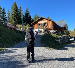
In the mountain refuge of the Taygetos and after a strenuous hike, ramblers will find a well-earned place to rest where they can tank up on energy for the ascent to the summit of the Profitis Ilias at almost 2,400 meters, the highest point of the Peloponnese. The route to the mountain summit has been made by numerous hikers who do this climb every year on 20th July, to celebrate Saint “Profitis Ilias”. The last stage of the climb is really only over rubble, very steep and you need to be fit!
After this outdoor highlight then of course, you must descend – in respect of altitude but the route to Arna remains diverse with impressive scenery. The village center of Arna is home to an ancient sycamore tree, estimated to be 2,000 years old. The mountain village Agios Nikolaos at the foot of the Taygetos is almost the last stage on the E4-Tour through the Peloponnese: From here you then march for about 25 kilometers to the charming port of Gythion, where after many days of hiking and active walking, you can now relax!
And if you are still full of energy and passion for Greece, then of course you can continue your journey on the E4 through to Crete.


