An article by guest author Fiona Stappmanns
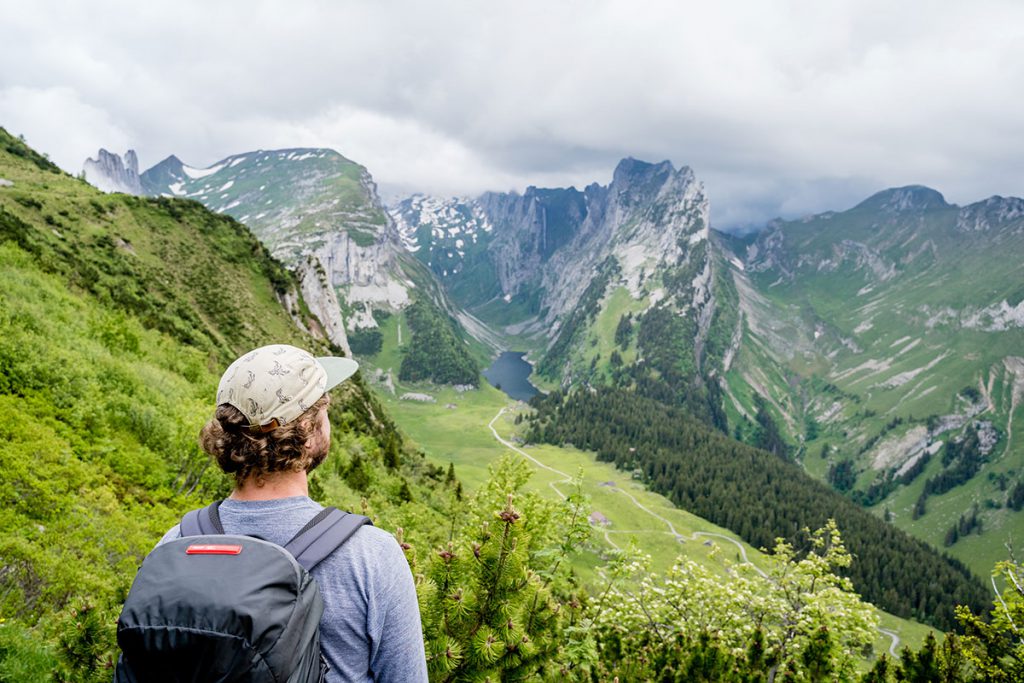
My gaze wanders south, not a cloud in sight far and wide. It went quickly and I arrived at my destination for today’s tour earlier than expected. As usual, I took a look at the weather forecast last night and the tendency for thunderstorms increases as the day progresses. So I plan a rather short tour. Getting my bearings seems easy, so I don’t bother looking at a map. I’ve been hiking in the region a few times before. It takes 3 ½ hours to reach my destination, so it’s no big deal, I think. In the morning, I hastily pack my backpack, a water bottle, a good snack, a rain jacket and off I go. I live close to the mountains and, as planned, I lace up my shoes at 8 a.m. and set off for the Kreuzberge in the Alpstein. I enjoy the silence, walk at an almost meditative pace and find a balance to my often stressful everyday life.
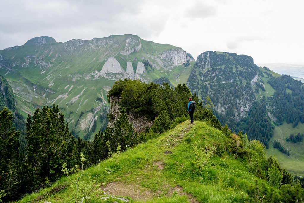
Sunshine and alpine idyll
The path leads wonderfully first through the forest, then along lush alpine meadows, cowbells ringing and a sea of flowers all around me. Slowly it becomes more alpine and after about three hours I reach my destination: the imposing Kreuzberge mountains rise steeply above the Rhine valley. I unpack my snack, bite contentedly into a piece of Swiss mountain cheese and enjoy the view. The sun is still shining above me and my legs are still not a bit tired. Wasn’t there a path up ahead that would take me back to the starting point in a nice loop? I wonder what the view is like there? I take out my cell phone to check the map. I have hardly any reception and impatiently think: oh, it didn’t look that far.
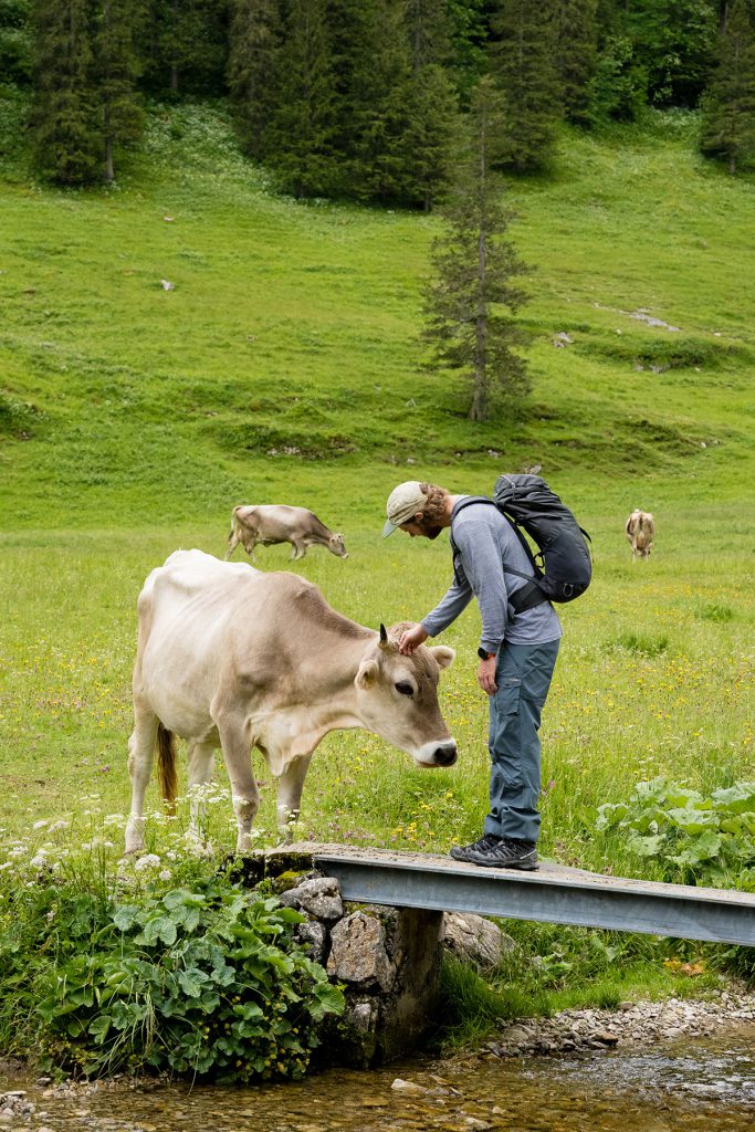
Dark clouds and good luck in misfortune
After a while, I reach a saddle and my heart sinks. The sun is shining above me, but threatening dark clouds have gathered on the horizon. I carry on, surely this must be the turn-off for the way back soon? The path drags on, the clouds draw closer. My pace quickens until I’m half walking, half running. The clouds move closer. I realize that the fastest route is still far too dangerous because of the snow. I finally get reception and check the official map. Fortunately, there is a path a little further on that leads a little flatter back down into the valley. Thunder rumbles clearly in the distance at first, but quickly gets closer and louder.
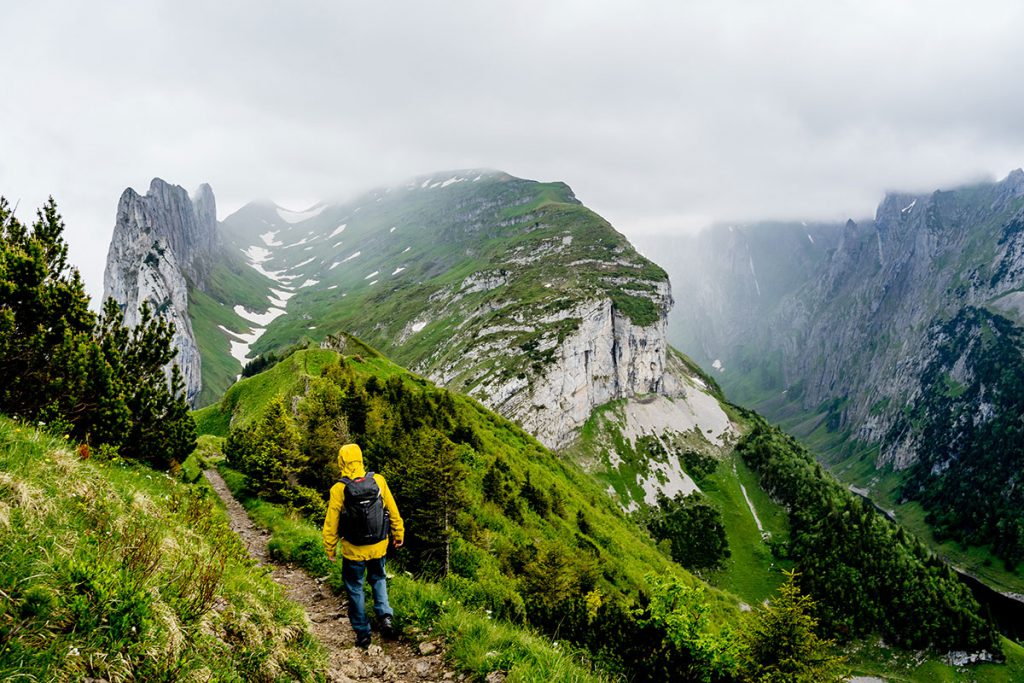
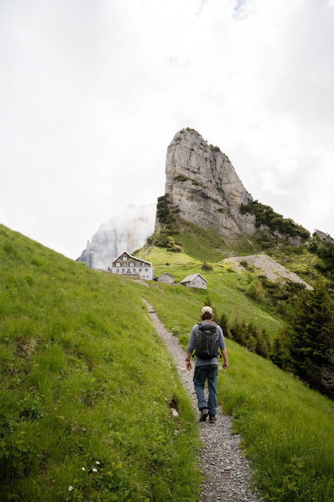
I reach the turn-off, slide and run downhill on old snowfields for 800 meters within half an hour until the storm catches up with me. I’ve seen a mountain hut on the map, so I take shelter here and let the storm pass. The storm is stuck in the next basin, the thunder is thrown back from the rock faces as if to remind me how close it came to being over. Actually, I know better, I’ve been going to the mountains since I was little. But today, curiosity has won out over reason, the spirit of adventure over caution. The leisurely half-day hike turned into 31km and 1800m.
My new companion: Tatonka Storm 30 RECCO
It’s been four years now and I’ve learned a lot. Since then, I have repeatedly encountered bad weather on the mountain, but thanks to good planning and the right equipment in my backpack, the risk can at least be minimized. I’ve also been traveling with the Tatonka Storm 30 RECCO since this summer. With enough space for my equipment, camera and a few lenses, it’s the perfect backpack for a one- or even two-day tour. Over the last few weeks, I have been able to test it extensively and explore the mountains in my local area. I particularly like the ventilated back system, especially for the summer. There is space for the hydration bladder at the back of the backpack and you can attach the tube directly to the carrier so that you can take small sips while running. There are also holders for hiking poles and mesh pockets on the side. If I get caught out by bad weather again, a rain cover is also included. If I have packed less, I can adjust the volume thanks to the compression straps. However, it is also available with 20 or 25 liters. The hiking season is just beginning and I’m hoping for many more great moments in the mountains – I’ve already found the right companion for my back.
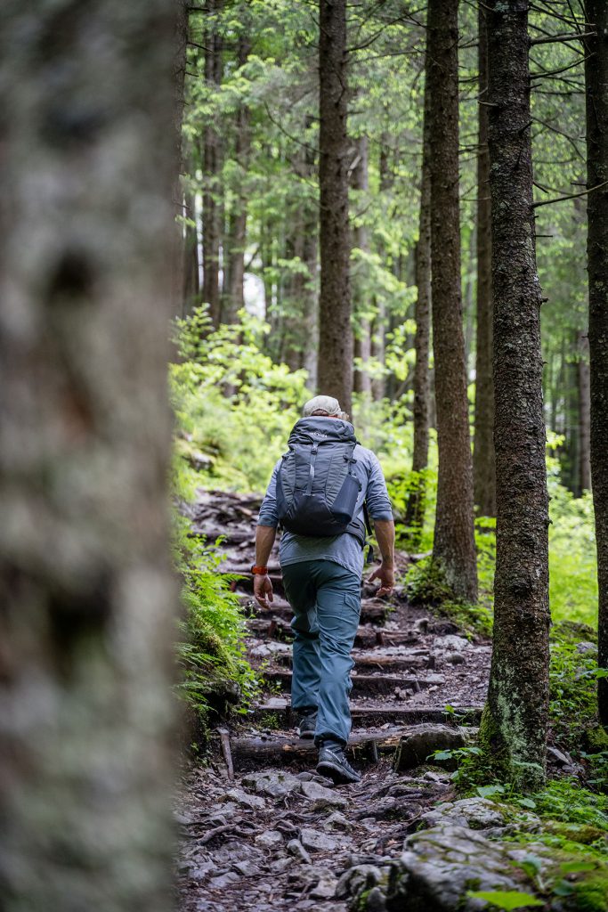
Be found faster with the RECCO system
Wait a minute! What exactly is RECCO? The RECCO system consists of a very small reflector weighing just 4 grams, which is sewn into your backpack or clothing, as in my case. It does not require its own power supply or activation. The reflector itself does not emit a signal, but is a passive system. This means that mountain rescuers need an active search device that sends out a signal. This is then reflected back by the reflector and the missing person can be located.
So what use is the RECCO system in my backpack? I ask Bernd Zehetleitner, mountain guide and head of the Sonthofen mountain rescue service in the Allgäu region. “The main problem with missing person searches is that the people are often not “searchable” as they cannot be technically located. Alongside cell phone tracking and active emergency transmitters, the RECCO SAR system is currently the only technical system that can be used to locate missing and injured persons effectively and quickly from a helicopter – provided they are carrying a RECCO reflector somewhere in their clothing or on their backpack.”
That sounds good, I think. After all, a cell phone can quickly run out of signal in the mountains, and in cold temperatures it can also give up the ghost unexpectedly. Of course, the RECCO is no substitute for good tour planning and the necessary safety precautions. “No search system improves safety, only the possibility of being found more quickly. However, this is very important if the worst comes to the worst. With and without RECCO, there is the possibility of being found dead or not found at all. With RECCO, the chance of being found more quickly is significantly increased – which in turn has a positive effect on the chances of survival,” Bernd continues. Sure, that makes sense, you can never be 100% sure on a hike. Chance or simply bad luck always lead to a certain residual risk.
You can find more information about RECCO here.
Minimize the residual risk
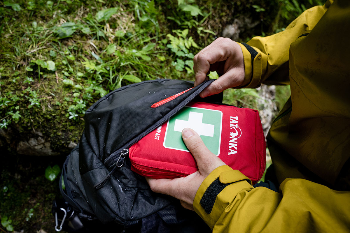
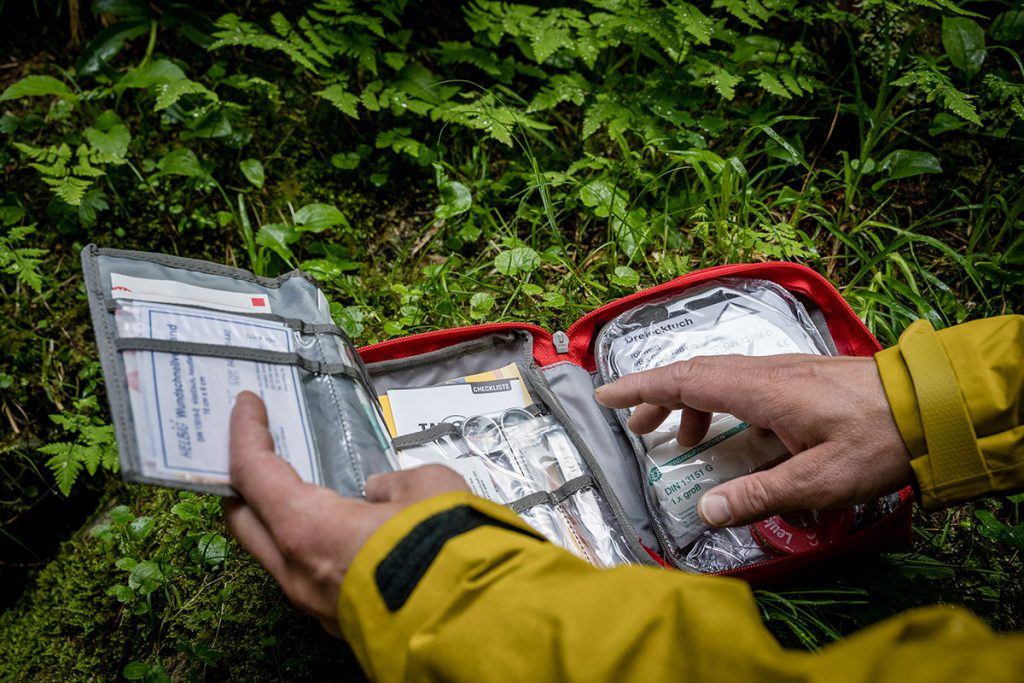
But what can I do to minimize this risk and be as safe as possible on the road? A well-stocked first aid kit should always be in your backpack on every trip to the mountains. This can be adapted depending on the activity. I personally opted for the Tatonka First Aid Compact. Among other things, it contains everything you need to treat minor injuries, a practical quick guide to first aid and a rescue blanket. With a weight of 390 grams, it is compact and light enough to always fit in your backpack, making it perfect for one- to two-day hikes. First aid courses specifically for the mountains are highly recommended and are offered by the sections of the Alpine Club, for example.
Planning and the right equipment are the be-all and end-all
Safety on the mountain starts with planning the tour. How long will I be on the trail? Are there any special dangers along the way, such as steep old snowfields or particularly exposed areas? Am I up to the challenge of the route? What will the weather be like? You should ask yourself these and other questions before you set off. I prefer a normal paper map, which should definitely be in my backpack. At least it can never run out of battery. However, there are now also a number of different apps for tour planning, which directly display the route characteristics or the estimated duration of the tour, for example. It is important to always download an offline version of the map. I check the mountain weather via various portals, such as ZAMG, DAV Bergwetter or, in Switzerland, Swiss Meteo. I have experienced first-hand how quickly the weather can change in the mountains. Even in summer, it can suddenly snow and previously harmless spots can quickly become dangerous or even impassable due to wet conditions. Take a close look at the tour, are there any places that make you very reluctant to turn back? Keep assessing the situation along the way and, if in doubt, return early enough – turning back is part of the mountain experience and is not a defeat. The Alpine Association also offers courses or at least important information on its website for tour planning.
I have also installed the Swiss Air-Rescue (Rega) emergency app. In an emergency, it transmits my current location data at the touch of a button. This way, the rescue team quickly knows where to look. There is also a similar app for the regions of Tyrol, South Tyrol and Bavaria (SOS EU ALP). If I’m traveling alone, I share my planned route with someone I trust and set a time when I want to be back at the latest. If I haven’t contacted them by then, this person alerts the mountain rescue service.
Tip: You can find out everything you need to know about hiking in our guide article.
What should I put in my backpack?
I don’t overload my backpack, but some things are essential (see packing list below). Snacks and sufficient liquids are just as important to me as a change of clothes and a light rain jacket in case the weather surprises me again. I also always have a map of the region with me now. I can determine my exact location using the GPS in my cell phone or my watch. Both also have an integrated compass.
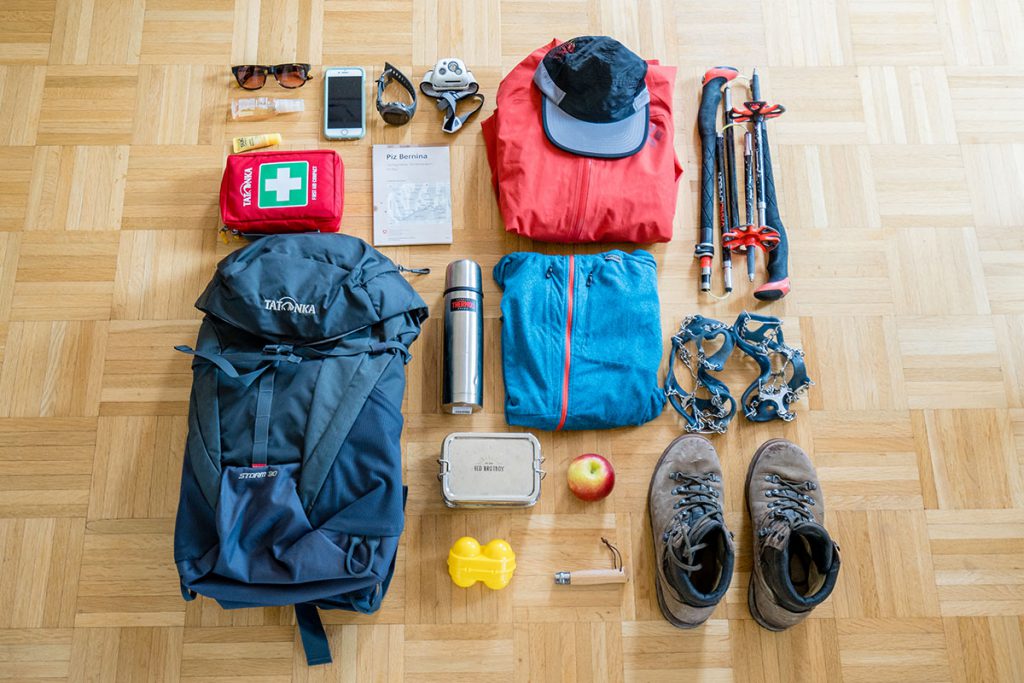
My packing list for hiking (day tour, no particular difficulties):
- Thermos flask with tea
- Hydration bladder (2 liters)
- Snacks (trail mix, bars, etc.)
- Lunch box with my snack
- Hiking poles
- In spring, micro spikes (grödel) for any old snow fields
In addition to the weather-appropriate clothing I wear and sturdy hiking boots, I also bring
- Sunglasses
- Hat (sun protection) or headband
- A change of T-shirt
- Light rain jacket
- Possibly a long functional shirt (onion principle) or insulating jacket
- Sports watch with GPS and compass
- Hiking map of the region
- Download the map on your smartphone as a backup
- Pocket knife
- First aid kit
- Blister plaster
- Sun cream
- Headlamp
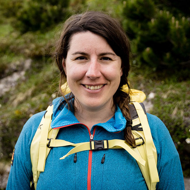
Hi, I’m Fiona. I’m currently writing my doctoral thesis on sustainable entrepreneurship and working as a photographer. It goes without saying that you often have to go out into nature for field studies, whether it’s mountain biking, hiking, mountaineering, splitboarding or surfing by the sea. Always in my luggage: Swiss chocolate and my camera. I also regularly write stories for online and print. From hiking on my doorstep to surf trips in Central America. The focus of my stories is always on experiencing, feeling and discovering.
Follow me on Instagram.
Recommended reading: We show you how to get help in an emergency in the mountains and other safety tips in our article Safe on the mountain.


