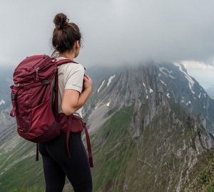
The hike up to the Daniel is a worthwhile tour in the Ammergau Alps, which requires surefootedness, a head for heights and good stamina. After the long ascent, however, you will be rewarded with a breathtaking view of the surrounding valleys and the Mieminger mountains. And Germany’s highest mountain, the Zugspitze, is also always in view.
Tour dates
- Start and end point: railway bridge in Ehrwald
- Duration / walking time: min. 6:30 hours
- Path length: 12.1 km
- Vertical meters upwards: 1.390
- Vertical meters downhill: 1.390
- Difficulty: Medium
- Refreshment stop: Tuftlalm (1.500 m)
- Accommodation: none (in the immediate vicinity)
Touring equipment
- Ventilated hiking backpack (depending on weather conditions and personal equipment between 15 and 25 litres)
- Enough to drink
- Cap
- Sunglasses
- Sun protection (min. sun protection factor 30)
- Sun protection for the lips
Further information about the hike to the Daniel
- On the ridge from the Upsspitze to the Daniel, surefootedness and a head for heights are necessary!
- The tour is only recommended in good dry weather, as it can quickly become dangerous, especially on the ridge in wet conditions.
- Ankle-high hiking boots are an advantage. Mountain-experienced hikers can also climb the summit with lighthikers.
- There is a charging station for e-bikes on the Tuftlalm.
- The direct route to the Daniel via the Kärleseck is easier and shorter.
- Due to the distance and the altitude difference the hike to the Daniel is predestined for sore muscles (of course depending on your fitness level 😉 ).
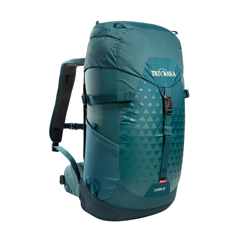
The Storm 20 RECCO by Tatonka – Sporty hiking backpack with 20 litres volume, hiking stick holder, side mesh pockets, rain cover and hip belt.
Thanks to the perfectly ventilated X Vent Zero carrying system, the Storm 20 RECCO carries itself without a sweaty back, even when it’s steep uphill. In addition, the backpack has an integrated and maintenance-free RECCO emergency reflector.
Tour description
We start our hike to the Daniel at the railway bridge in Ehrwald. Coming from Lermoos, we park our car on the right side directly after the bridge.
We cross the road and only a few meters away we walk up a tarred road. After a short time we reach a crossroads. Now you should be careful not to follow the signpost to the road that turns right, but to continue straight ahead along the gravel road. Because the signs of both ways point to the Daniel. Unfortunately we follow the tarred road first. But we become suspicious and prefer to have another look into the hiking guide. Fortunately we notice the faux pas in time and turn back immediately in order to continue the hike to the Daniel on the “right” way 😉
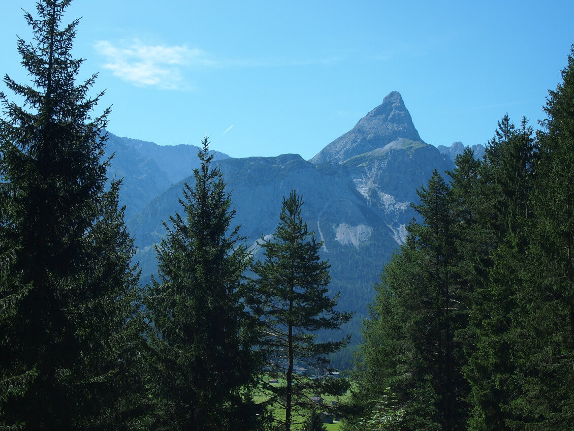
Now we can admire the Ehrwalder Sonnenspitze (2,417 m) on the left, which rises strikingly into the sky. Behind us, the west face of Germany’s highest mountain, the Zugspitze, towers up.
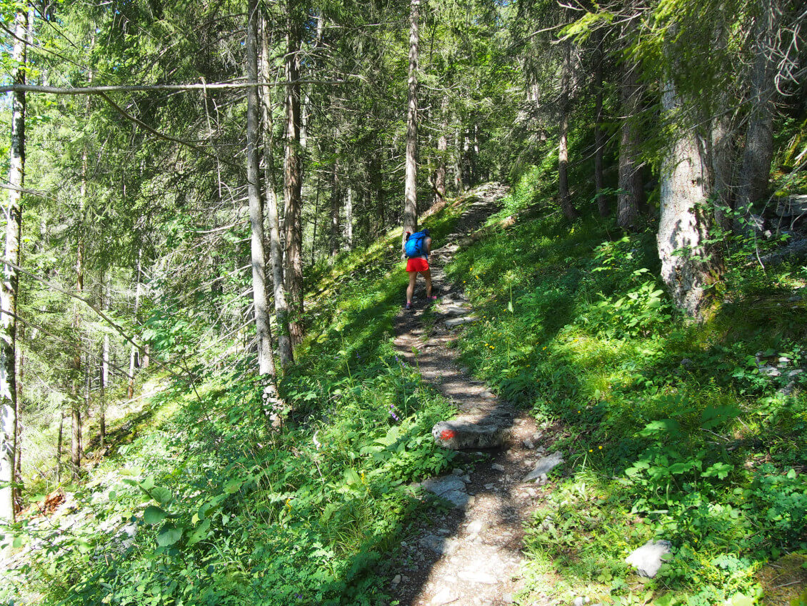
After about 10 to 15 minutes a signposted path branches off to the right. At first you have to climb a few steps and then follow a narrow path through the forest. The path does not present any problems, but as it becomes stonier and steeper, we use our walking sticks for the first time.

After some time we hear the splashing of the Kärlesbach, which we cross a little later over a small wooden bridge. In this area the path gets a bit wet and slippery in places, but not really dangerous. Especially on hot days this part of the path is very pleasant. The trees offer enough shade and the creek creates a pleasant coolness.
After about an hour we reach a bench with a small table, which invites us to take a short break (we skip the first bench just before). Quickly we realize that the location of the seat was not chosen at random. Because from here we have a wonderful view of the valley, the Ehrwalder Sonnenspitze and the Zugspitze! We don’t have to be asked twice, sit down and enjoy the view into the distance. So if you don’t want to have a snack at the Tuftlalm on the way to Daniel, we can only recommend this special place.

Snack at the Tuftlalm
But after a short stay we continue our hike, finally there is still a long way to go. On short hairpin bends we continue walking until the path leads us out of the forest. Clearly visible now a narrow path winds over an alpine meadow. We pass grazing cows and walk straight on towards Tuftlalm. If you like, you can take another look at Lermoos and Ehrwald, as well as the surrounding mountain landscape, from a viewing platform on the left just before the alp. But we hardly pay attention to the viewing platform and take a break at the Tuftlalm. Because also from there we have a great view to the mountain landscape.
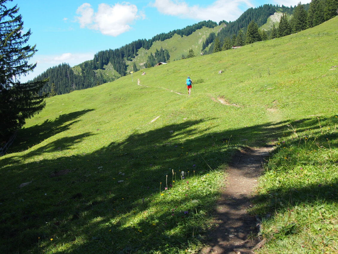

We already enjoy a cool drink and a hearty cottage meal. At the same time we take a look at our destination: Above the roof of the Tuftlalm the northern side of the Daniel rises up, whose summit cross reflects the sun like a mirror. It seems to us as if the mountain is sending us some dear greetings on this way down.
PHOTO Very tasty – the Kaiserschmarrn on the Tuftlalm (1.496 m).

Tip: You should enjoy the delicious Kaiserschmarrn after climbing the Daniel. On the way back you will pass the Tuftlalm again. This is also my recommendation. Because hiking with a full stomach… well, you know 😉
Via Grüner Ups to the Upsspitze
Looking up to the Daniel we already guess that the way is still quite long. For this reason we continue our walk after the meal. Our next stopover is the Grüner Ups.
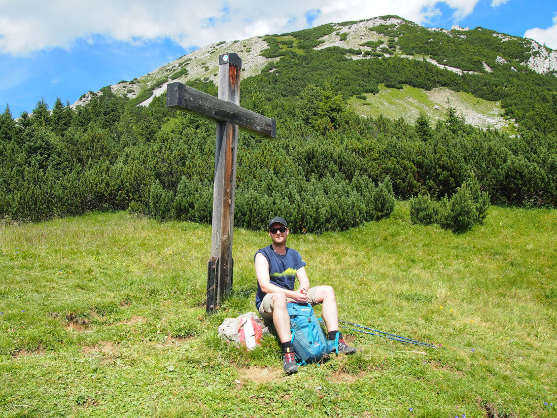
At the beginning we walk a few more meters on a wide road.But a little later our way turns to the right and leads us on a narrow path through mountain pines. Now the temperature rises again clearly. Especially on this part of the way it is important to have enough to drink. Finally we reach the cross of the Grüner Ups. But we don’t stay there long. We take the obligatory “summit photo” :-), but then we go on.
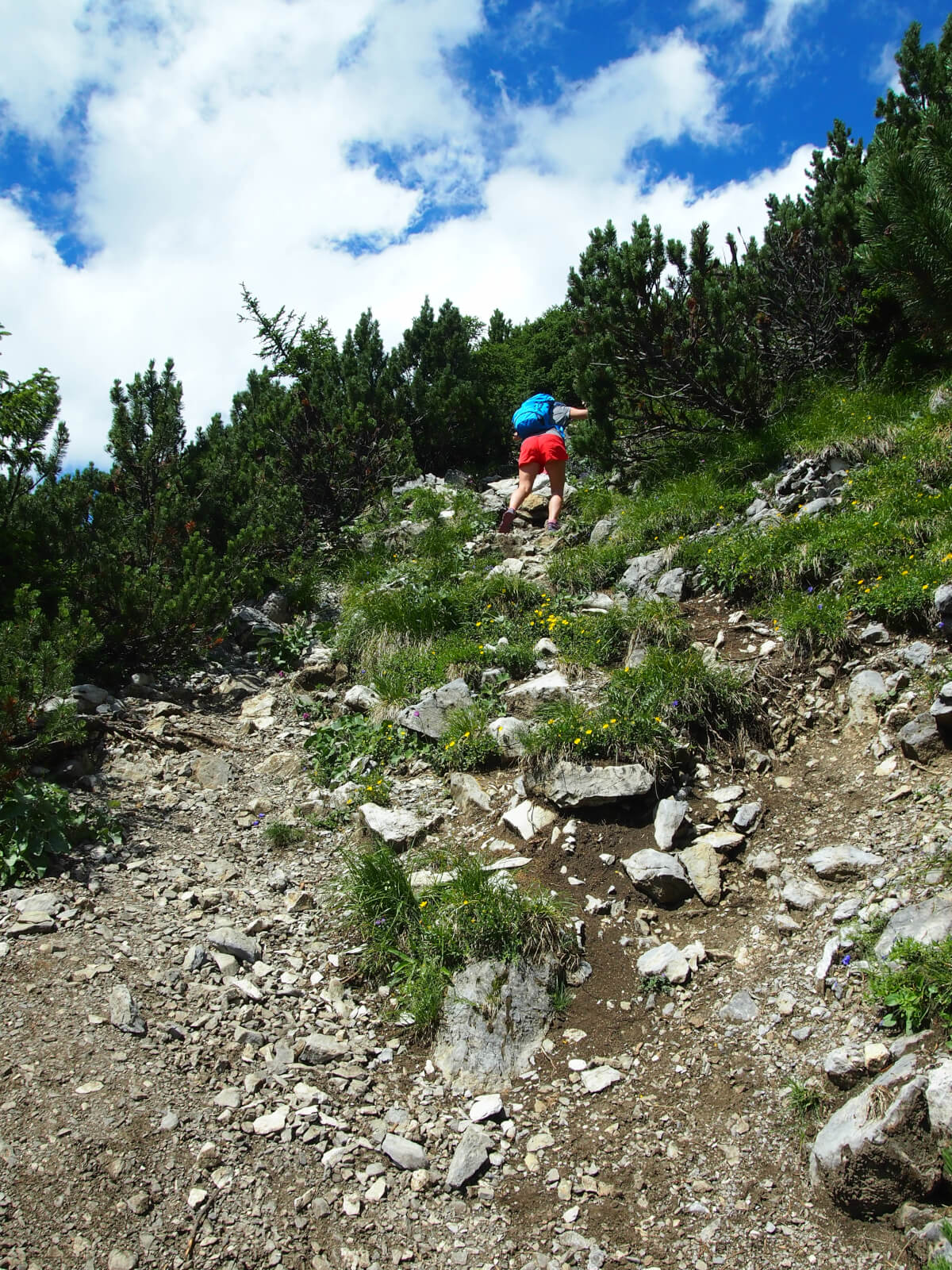
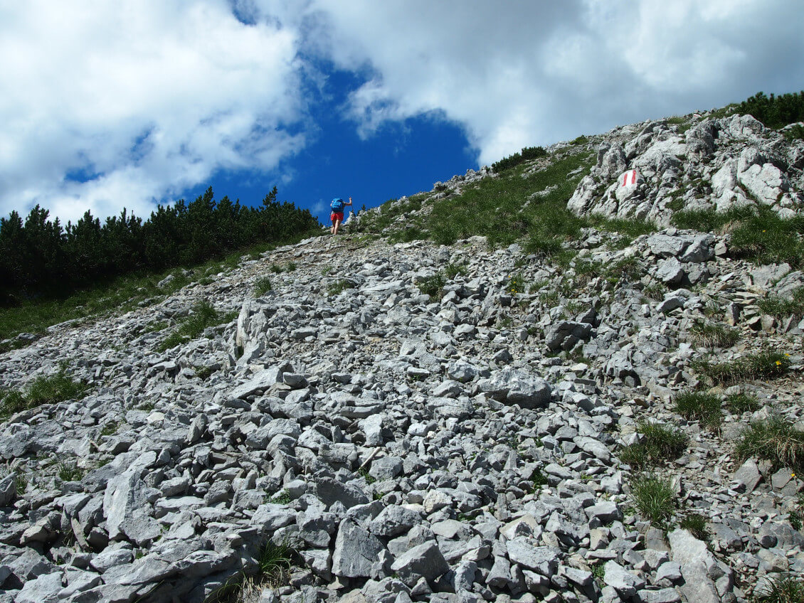
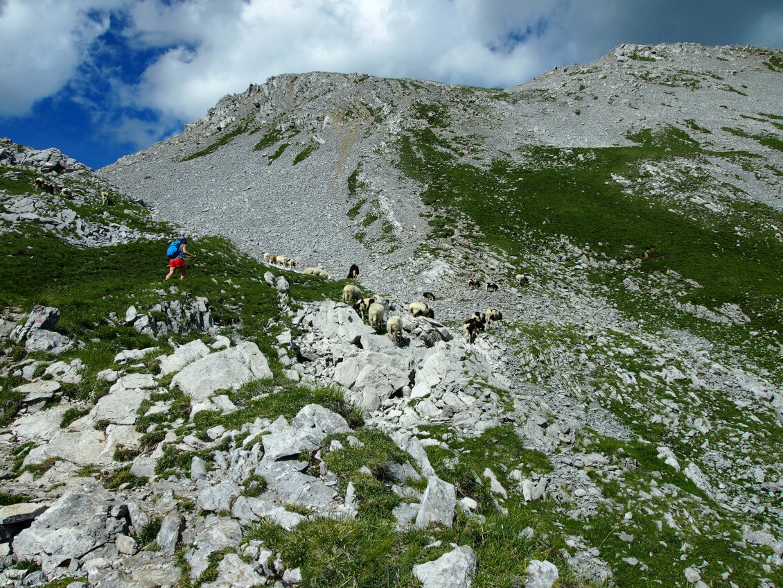
Now the most strenuous part of the hike to the Daniel is ahead of us. After the Grüner Ups we turn right again and follow a narrow, rocky path until we finally reach a scree field. Here we also meet some sheep, which get a cool down on the last remaining snow field. We also cool down a bit with the snow, because the heat is extreme on this day and above the tree line we search in vain for some shade. Again we are happy about our trekking poles, which give us enough safety in the scree field.
Over the ridge to the Daniel
After we have made the ascent, we continue on a short piece of ridge to the Upsspitze. However, it has no summit cross and we have to look carefully so that we don’t just pass it. The last few hundred meters are a dream, because they lead over a ridge, always towards the Zugspitze, directly to the summit cross of the Daniel. Although there are still a few ups and downs, if you are sure-footed the way is no problem anymore. We just enjoy the walk over the ridge until we reach the summit cross of the Daniel.

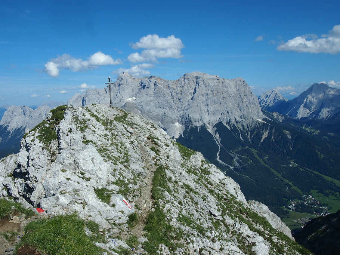
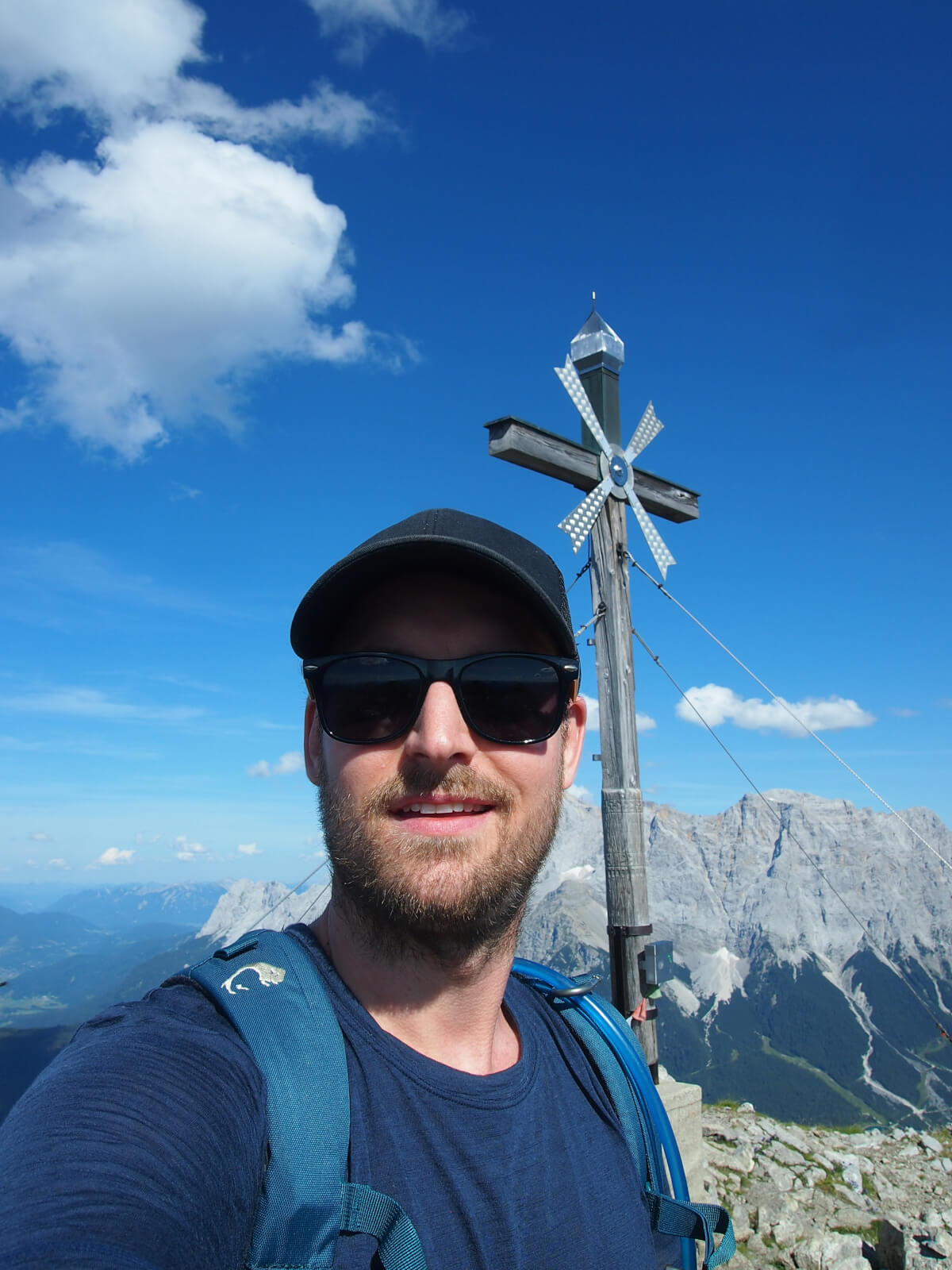
When we arrive, we are in luck: there is nobody else on the summit except us and we can enjoy the magnificent 360-degree view completely undisturbed. Looking over to the Zugspitze, it seems as if Germany’s highest mountain is only a few meters higher.
Descent over the Kärle back to the starting point
We allow ourselves the deserved “Gipfelschnaps”(schnapps) from the hip flask and stay on the Daniel for about 15 minutes. As a descent route we choose the path over the Kärle. Firstly, we don’t want to go back up the ascent route, secondly, this variant is shorter and can be done faster. But for this we have to go back a little bit over the summit ridge, but then we do not go straight on, but turn left above the Kärle. The path is well marked, but a bit exposed, but with a little caution it is easy to manage.
Fancy another tour tip in the Ammergau Alps? How about a hike to the Teufelsstättkopf (1,758 m)?
After leaving the scree field behind us, the trail leads us through wooded area back to the Tuftlalm and from there the same route back to the starting point, the railway bridge in Lermoos.
My conclusion
The hike to the Daniel is varied due to the different path conditions, but is also challenging due to the length of the path and the altitude difference. The surrounding mountain landscape is already impressive on the tour itself, but is topped again by the view from the summit.We can recommend this tour to everybody who does not stop at ridge walks and steep and exposed sections.
Further impressions of Michael’s hike to the Daniel:
