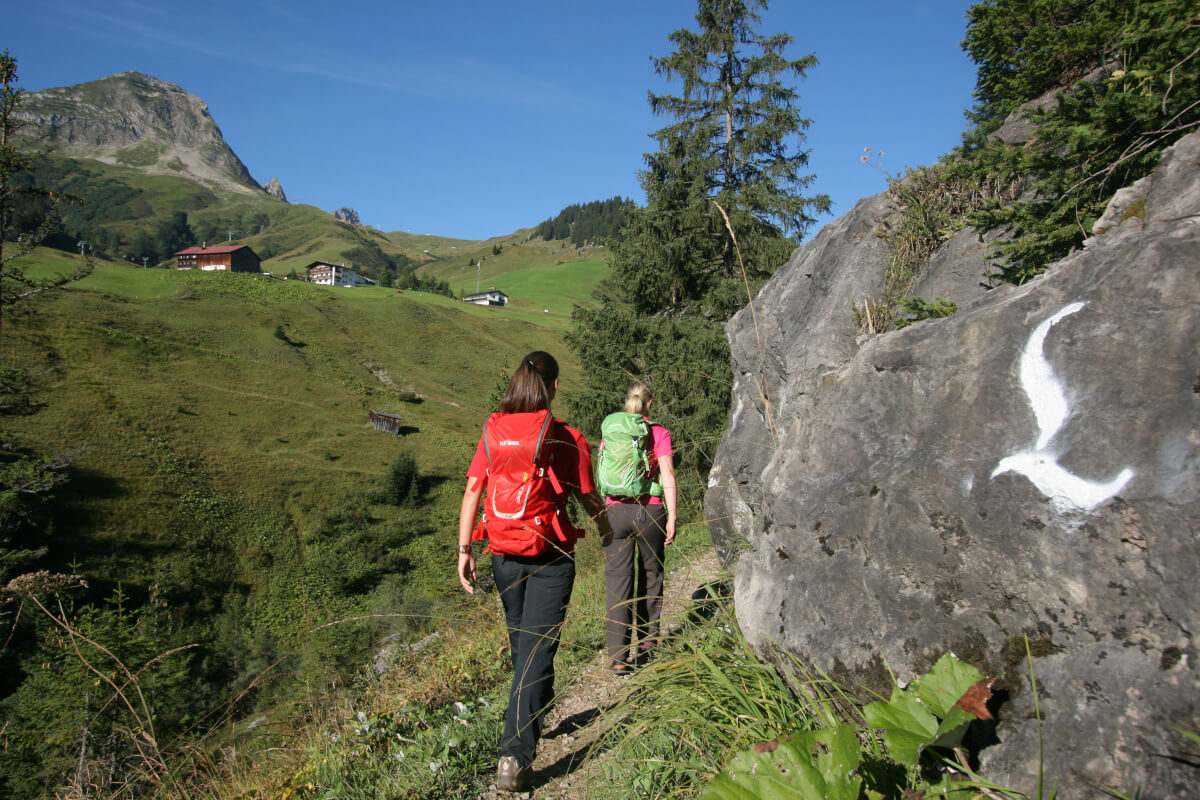
Regardless of whether you do this tour as a family, or as a trekking fan or hobby hiker: on the Lechweitwanderweg there is something for everyone! We start off in the high mountains and then the route goes gently downhill to the foothills of the Alps. There are many impressive landscapes here where everyone can discover his personal favorite hiking route. There are not only many challenging routes but also a varied offer of leisure activities in the area.
On the border between the high mountains and the foothills of the Alps the River Lech flows over 264 km from its origin near to the lake at Formarinsee in Vorarlberg to the estuary in the Danube at Marxheim. Beginning at the source of the river, the Lechweitwanderweg runs for more than 125 Kilometer through Vorarlberg to the Lechfall at Füssen. It unites Austria with Germany and runs through three regions: the Arlberg Region, Tyrol and Allgäu. Tatonka is a cooperation partner which promotes this incomparable hiking trail.
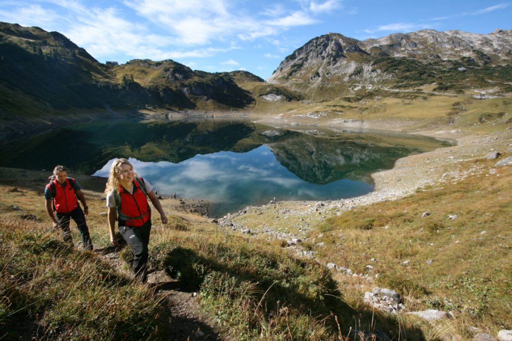
Leading Quality Trail
After its inauguration in June 2012 the Lechweg was the first hiking trail in Europe to be awarded the title of “Leading Quality Trail” and thus has a pioneer character. This seal of quality is awarded when a number of criteria for a hiking trail have been fulfilled.
For example, the trails should not be artificially fixed, they must be close to nature and typical for the surrounding environment but at the same time well passable. The hiker should be able to walk the route through a diversity of landscape formations and interesting sights with places to stop for a rest and in general with good infrastructure.
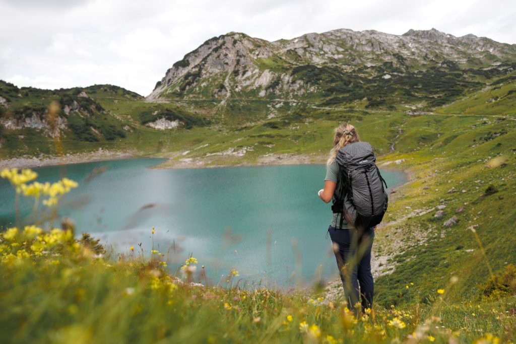
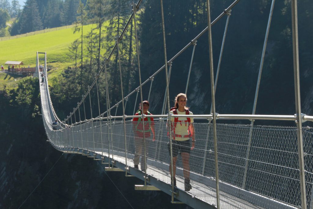
The banks of the River Lech in fact provide one of the most diverse natural environments for numerous flora and fauna in Central Europe. In the Tyrol Nature Conservation Area Lechtal-Reutte there are for example numerous breeding birds and wild orchids. As it progresses further, the River Lech flows through one of the largest mountain goat colonies of Europe, past the longest suspended footbridge of Austria and the famous castles of former Bavarian rulers.
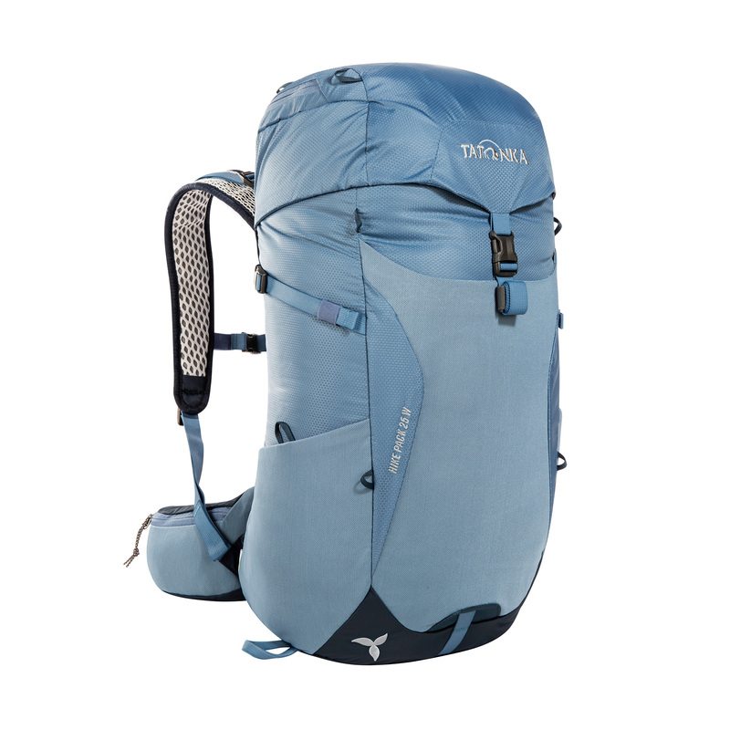
Whether for leisurely day trips or hikes lasting several days. At Tatonka you will find hiking backpacks with different capacities – from 20 to 35 litres.
The route begins in the high mountains and therefore the times for undertaking this hike are restricted to seasons from June to October. Trekking fans can really enjoy this route which alternates between sharp downhill and steep uphill passages. On the other hand, beginners can also enjoy this route because of its easy accessibility.
Depending on your condition or your experience there are three different stages. If your feet are tired or your back is aching, then you can simply take the Shuttle Service, which takes your backpack or you yourself, directly to the next stage. There are many places to stop en route and spend the night either in a hotel or guest house. Here are three suggestions for a stopover tour.
The comfortable option
Duration 8 days: this tour is possible even for first time hikers with no experience.
Stage 1: Formarinsee to Lech am Arlberg: 14 km
Stage 2: Lech am Arlberg to Warth: 10.7 km
Stage 3: Warth to Steeg: 14.5 km
Stage 4: Steeg to Bach: 14.8 km
Stage 5: Bach to Elmen: 15.2 km
Stage 6: Elmen to Weissenbach: 21.5 km
Stage 7: Weissenbach to Pflach / Reutte: 18.7 km
Stage 8: Pflach / Reutte to Füssen (Lechfall): 15.1 km
The classical option
For hikers with stamina – this route takes 7 days.
Stage 1: Formarinsee to Lech am Arlberg: 14 km
Stage 2: Lech am Arlberg to Lechleiten: 14.4 km
Stage 3: Lechleiten to Holzgau: 16.3 km
Stage 4: Holzgau to Elbigenalp: 12.7 km
Stage 5: Elbigenalp to Stanzach: 21.2 km
Stage 6: Stanzach to Wängle (Reuttener Talkessel): 21.7 km
Stage 7: Wängle to Füssen (Lechfall): 24.6 km
The sporty option
This option is for 6 days on the Lechweg suitable for experienced hikers in very good condition. Here, compared with the other options, longer distances must be covered every day.
Stage 1: Formarinsee to Lech am Arlberg: 14 km
Stage 2: Lech am Arlberg to Steeg: 25.5 km
Stage 3: Steeg to Elbigenalp: 17.9 km
Stage 4: Elbigenalp to Stanzach: 21.2 km
Stage 5: Stanzach to Wängle (Reuttener Talkessel): 21.7 km
Stage 6: Wängle to Füssen (Lechfall): 24.6 km
Equipment Tips
Whichever version you choose, the right gear is always important. When your feet are comfortable and your backpack stows all your things, then all of these hiking options are twice as much fun. A good hiking backpack for a tour of this size should have a volume of 25 to a maximum of 35 liters. When packing always remember: the less you have to carry, the better.
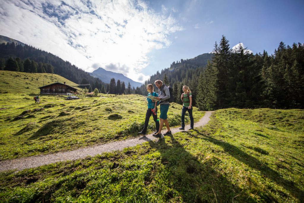
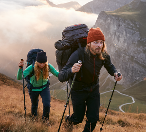
When choosing your hiking backpack, pay attention to the carrying system. Does it fit well with your back? Is it equipped with a ventilation system? Does it have a rain cover? Integrated hydration systems are very practical – this eliminates the annoying fumbling with the water bottle and you do not have to constantly put the backpack on and off. Mounts for hiking poles are also a good investment.
Has the wanderlust caught you? On lechweg.com you will find all important information about the tour planning as well as the cooperation partners, sights and accommodation.


