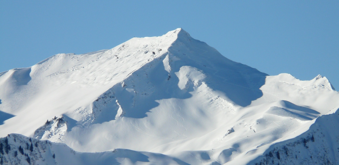
Our Swiss contributor Michi Bösiger enjoyed a fantastic skiing tour to the summit of the Güntlespitze in the Kleinwalsertal.
After a snowy night, we pack our backpacks to go to the mountains. It is early in the morning and with a clear blue sky we head towards the Güntlespitze. We choose a rewarding tour with a long and steadily steep downhill with just a few lateral crossings that is therefore also ideal for snowboarders.
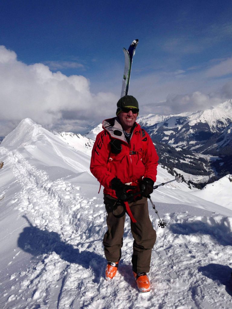
The drive through the Kleinwalsertal is already a great experience. We are happy that we made our way safely, despite black ice on the street. So we initially enjoy a sip of hot coffee from the thermos – and up we go. The surge primarily leads though wooden terrain. The rising sun is a blessing as it is pretty cold in the morning.
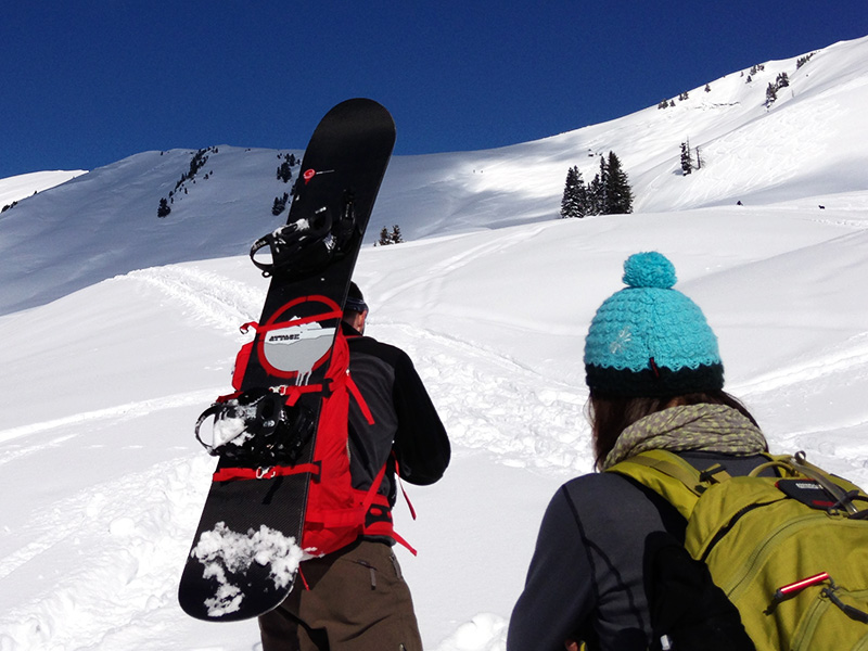
Shared burden – snowboard change
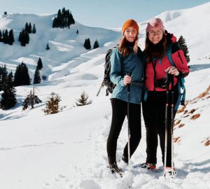
After a second rest we are already located in alpine grounds. I am happy to help Marion carrying her snowboard. She has not been on tour for a while and her backpack is clearly heavier than mine. We manage the ascent by snowshoes while the first scarps become visible and we get even more excited about the imminent downhill. Due to a curvy route guidance the steep path is walkable. There are little snowslides noticeable on the right peak – a clear sign to choose the safest slope.
To cross a crest and get to the subsidiary summit we buckle our skis and snowboards to our backs. Up here, a magnificent panorama is expecting us. We can hardly get enough. Meanwhile several other tourers have reached the summit.
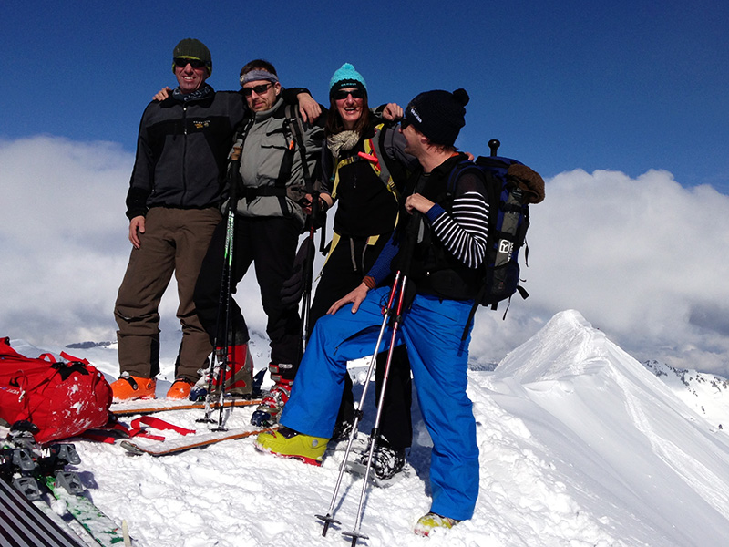

Terrific downhill
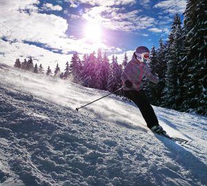
Later on, the winter becomes noticeable – with wind and relentless cold. After a few warm-up exercises we buckle up our skis/ snowboards and enjoy the terrific downhills. With the critical eyes of professionals we time and again compare our slope tracks which are drawn through the soft deep snow. As always the one with the nicest slope will be treated with a coffee liquor, down in the valley.
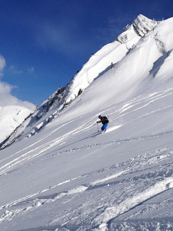
Text and images © Michi Bösiger
Information
Summit: Güntlespitze, 2.092 meters ASL
Altitude: 2.092 meters ASL
Region: Austria – Vorarlsberg
Coordinates: N 47° 18.052 / E 10° 04.725
Map data: Allgäuer Alpenverein Kleinwalsertal 1: 50.000 Page 3
Route: Round trip via Schoppernau
From Schoppernau (Bad Hopfenreben inn) via Güntlespitze and Häfner Joch / Alte Pisi Alphütte to Schoppernau
Type of route: ski tour / snowboard tour
Cumulative elevation gain: 1.200 meters
Difficulty: moderately difficult
Expenditure of time: three hours of ascent to the summit, downhill approx. one hour + ca. 30 minutes return path through the forest
Route description
Via the northeast route up to the Güntlespitze. Follow the ridge to S; short downhill to the Häftnerjoch; from here northwards downhill to the Talknick, keep tendentially to the right; continue to W, passing the Pisi-alb to the forest road and from there down to Schoppernau; the bus station is located a few hundred meters from the village boarder, directly at the parish hall; take the bus to the Hochtannbergpass, from there you can go by skis, following the summer trail to Höferspitze in the direction of Hochalppass; before the ascending ridge of the Höferspitze turn towards the valley – initially abiding left – back to Baad; unfortunately there is no ÖV station.
Attention: The ride from Schoppernau to the Hochtannbergpass is 2,50 € per person.
To get to the bus schedule click here: www.vmobil.at
These reports might also interest you:
- Ski tour Haute Route – From Zermatt to Arolla – Dream tour for professional ski tourers
- Ski-Tour to the Bärenhorn in Switzerland – Luxurious slopes down to the bottom of the fondue
Everything to remember, when going on a skiing tour, you can read here.


