The winter of 2023 leaves much to be desired in terms of snow conditions at the beginning of January. But that also meant for us that we could confidently leave the snowshoes and Grödeln (microspikes) at home and start a “normal” hike. Our destination: the well-known mountain Grünten, the guardian of the Allgäu. With the transmission tower on the top, it can already be recognized from afar when driving by car from Augsburg in the direction of Allgäu.
Tour data
- Start and end point: Hiker’s parking lot “Auf dem Ried” at Burgberg, near Gasthof Alpenblick
- Duration / pure walking time: approx. 3:10 h (there and back)
- Elevation overcoming: approx. 800hm
- Distance: 9,4 km
- Difficulty: medium
- Refreshment stop: Grüntenhaus (open in winter on weekends in good weather)
The tour on Komoot
Tour description
This morning, our early rising even paid off on our car ride to the mountains, just behind Augsburg. We were rewarded with a wonderful sunrise and can already spy the mountains from afar.
The hikers’ parking lot “Auf dem Ried” is easy to find via Google Maps, if you take the village of Burgberg and the Alpenblick Inn as a reference. We drove the entire tarred road past numerous hiker parking lots to behind the last parking option. Parking cost us 6 euros for the whole day (as of January 2023). We dressed warmly according to the onion system and off we went. First, the path led us along the tarred road and we followed the signs. The climb was initially very moderate and not very strenuous. After a short time, the classic Allgäu view opened up to us: Lush green meadows, isolated trees and small wooden huts on it and a wonderful mountain panorama in the background.
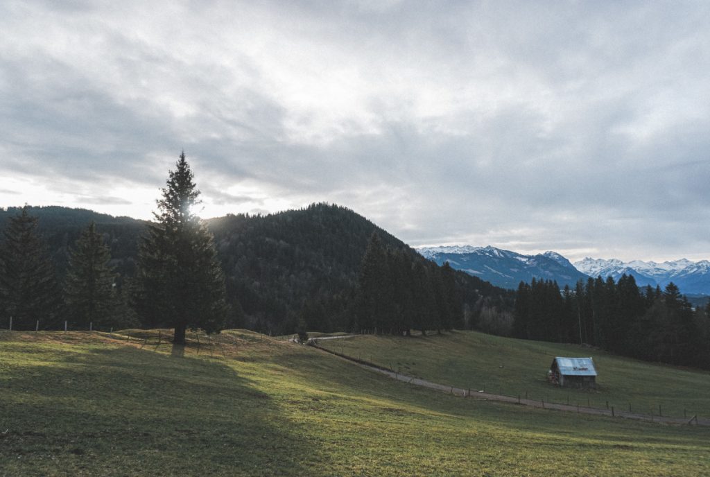
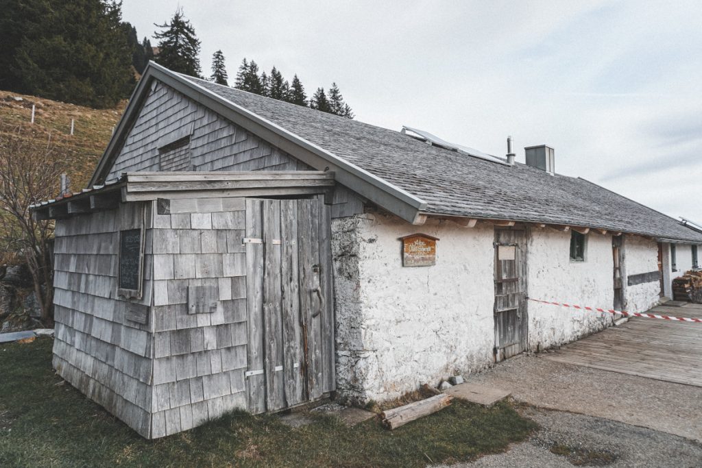
A few meters further we turned left from the tarred road and ran past a hut on a forest road. From here, the path was now also somewhat crisper and steeper. The forest road ended after one or two curves in a large meadow, through which narrow and especially muddy paths led up serpentine.
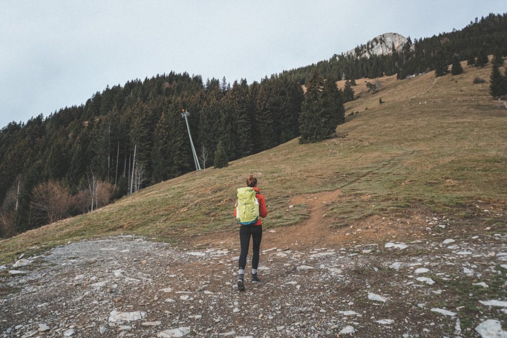
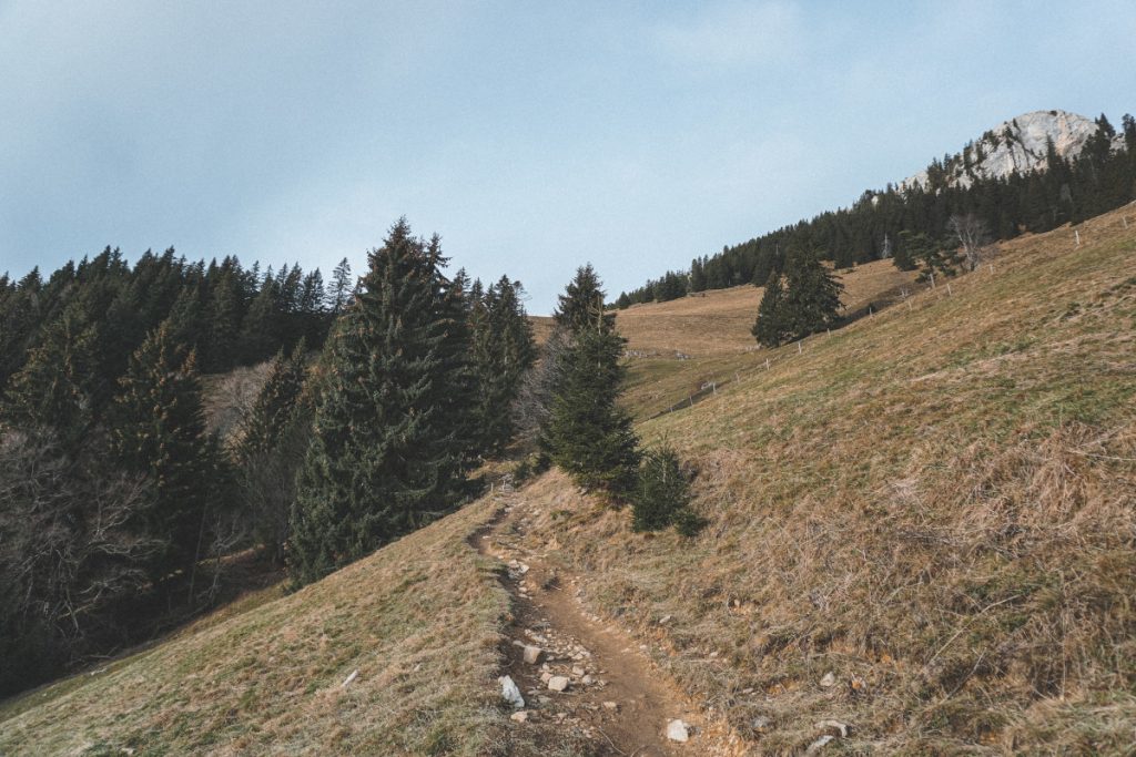
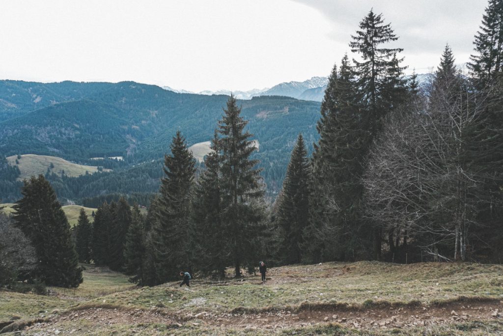
The higher we climbed up the mountain, the more beautiful the view of the surrounding mountains became, whose peaks were at least sugared by snow.
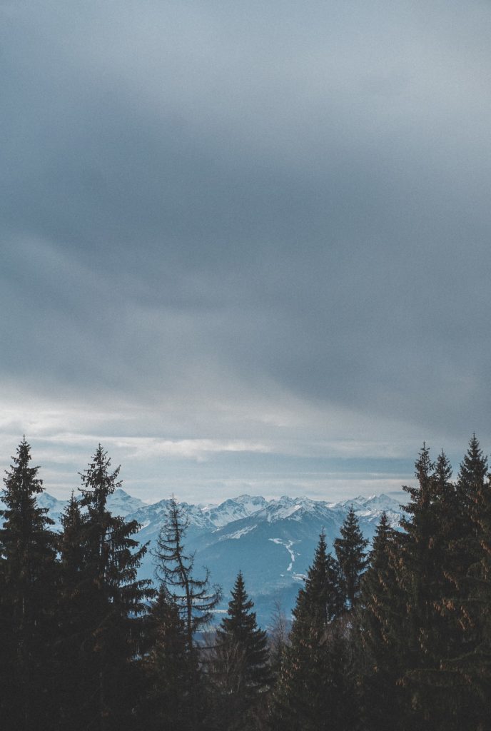
At the top, at the end of the meadow paths, we arrived at the hut Obere Schwande. A few meters further and we were already in the forest.
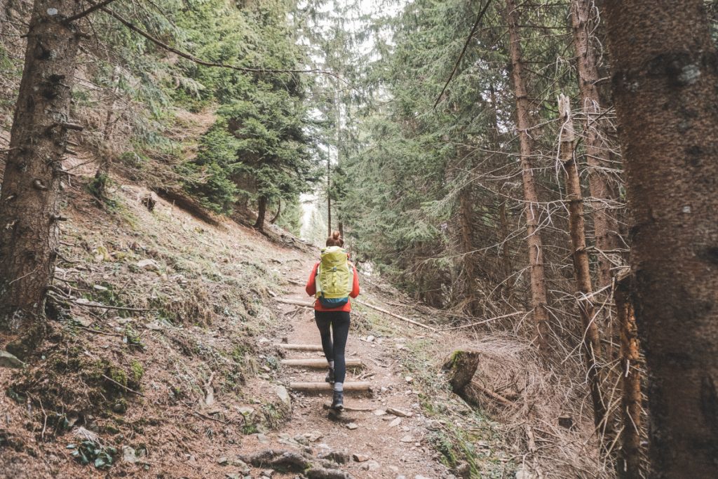
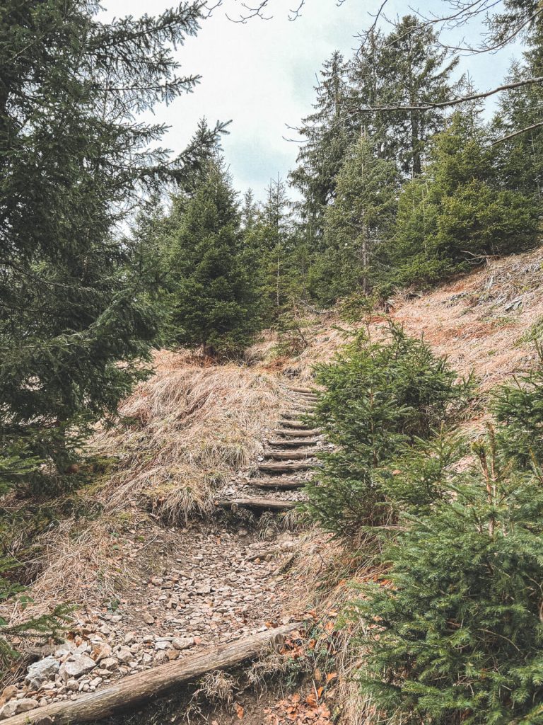
Between the trees we enjoyed the silence and tranquility. Every now and then we talked at length about the important things in life, forgetting the time and the effort. Until now, we had not met another person on the hike. I always find the ascent almost meditative after a certain point. The thoughts wander, you are in motion and in nature, you do not have to rush but can simply enjoy the moment and the company. Whether with good conversation or in silence.
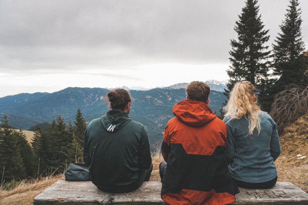
At the top we took a short break on an idyllic bench, enjoyed the mountain view and waited for the stragglers in our small group.
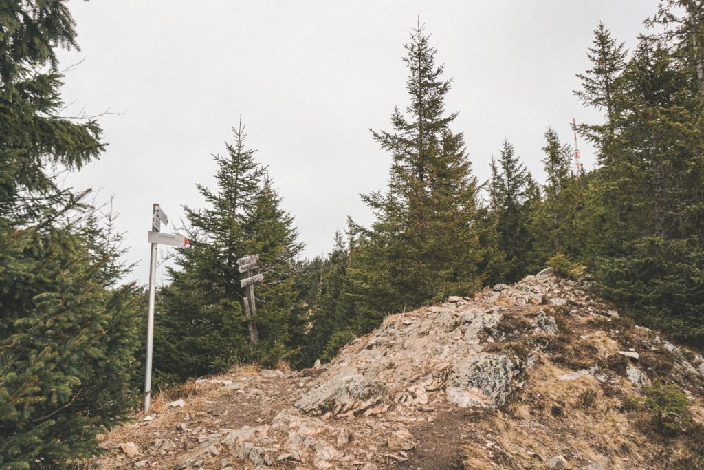
When our group was then complete again, we continued walking in the direction of the Grünten monument. A stony path led us closer and closer to the – in my opinion grizzled – transmission tower on the Grünten. There at the transmission tower is also the mountain station of the cable car that leads up the mountain. However, this had closed at this time of year. Nevertheless, the way to the transmission tower was very beautiful and also the view to the right of us was not to be despised. On the other side of the mountain, Sonthofen and the small village of Burgberg right next to it were also perfectly visible.
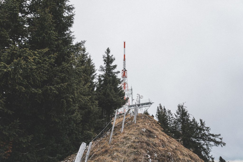
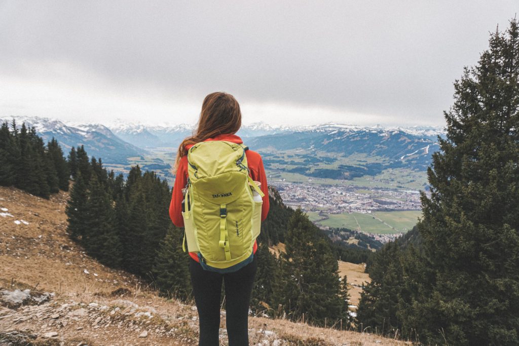
In the meantime, we had now encountered a few other people on the hiking trails. From the transmission tower, we finally continued under the railroad across tiny snow (slush) fields to the Jäger monument. The monument rises up in the landscape of the Grünten and commemorates the 3000 members of the mountain troop regiment “Jägerregiment 3” who died in the First World War. Once there, we finally huddled together to enjoy our snack despite the brisk wind.
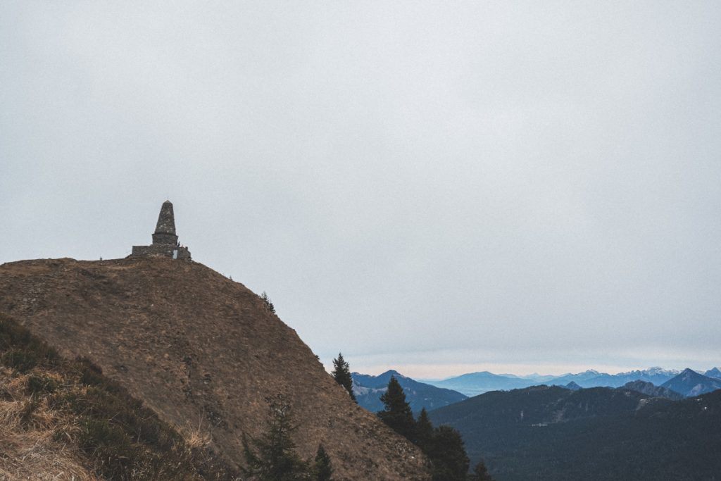
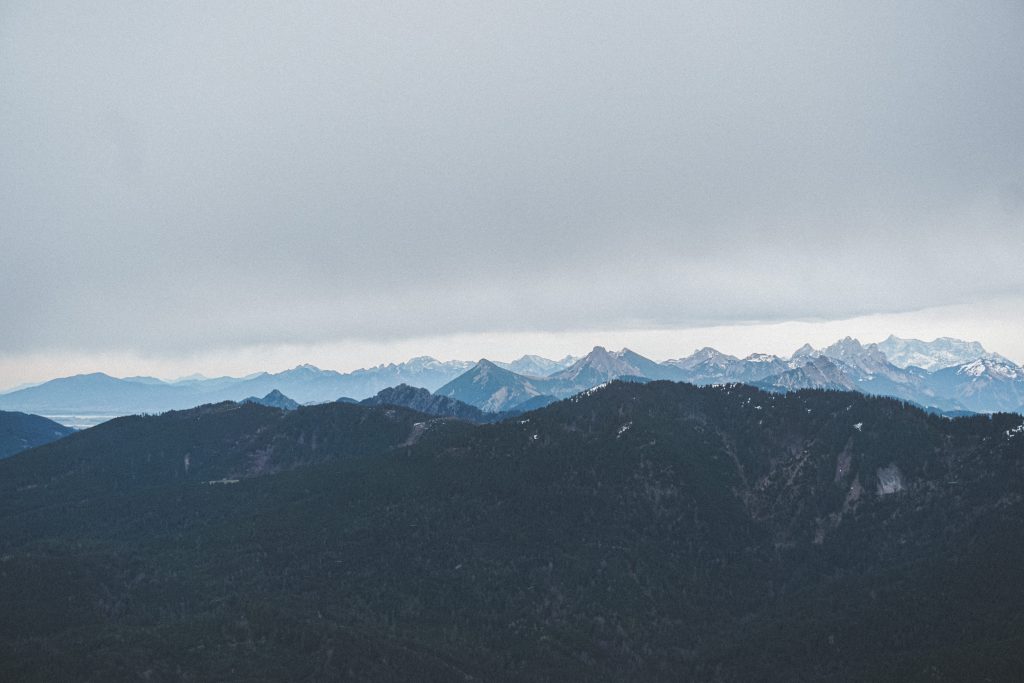
After our well-deserved break and refreshment, we ran, probably partly out of curiosity and partly out of disorientation, unceremoniously the wrong side of the mountain a little bit downhill. The next signpost told us that there was no way back to our parking lot. So we went back and up the small piece again, past the Jäger monument and the transmission tower. Here we then turned right looking at Sonthofen and ran down many stairs through the forest, at the end of which we then came across the Grüntenhaus hut. Since the weather was not very inviting for our snack outside anyway and more and more clouds were coming, which clouded the view a bit, we decided without further ado to stop there.
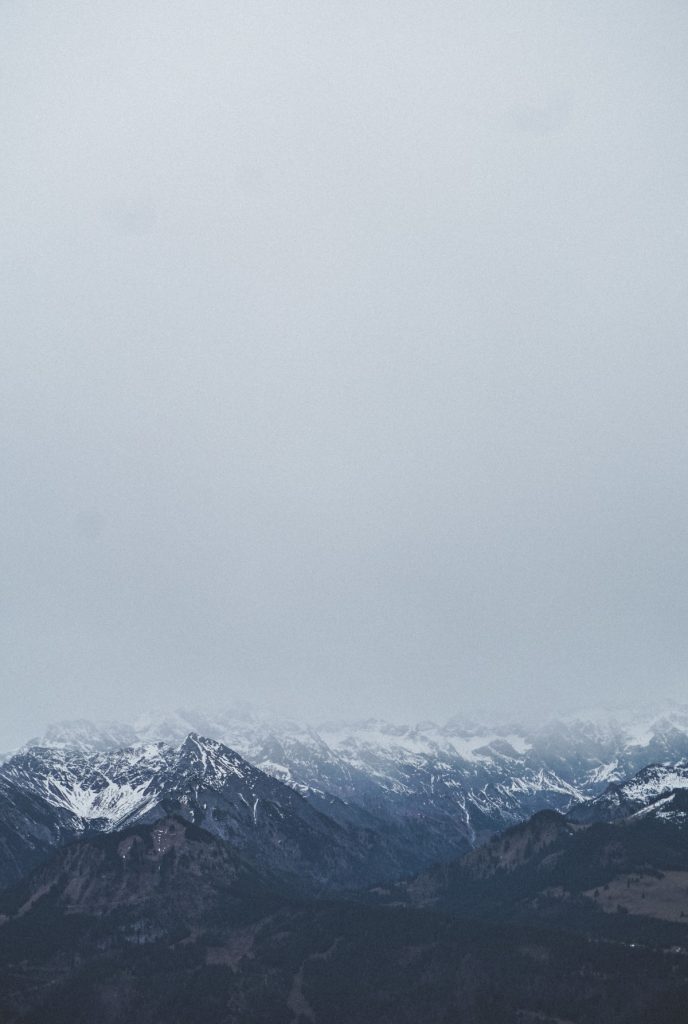
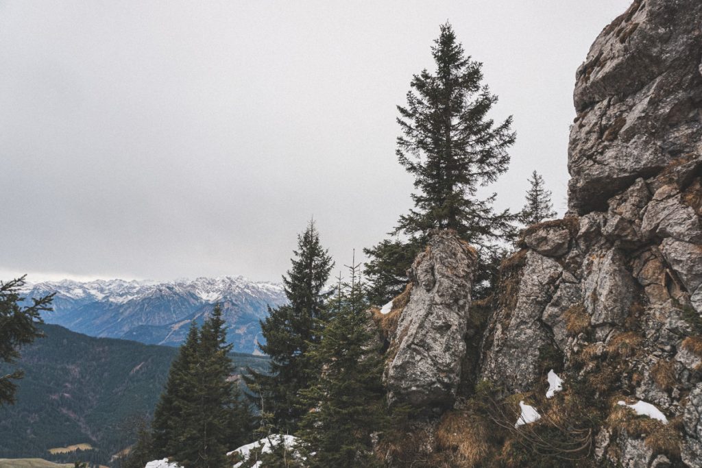
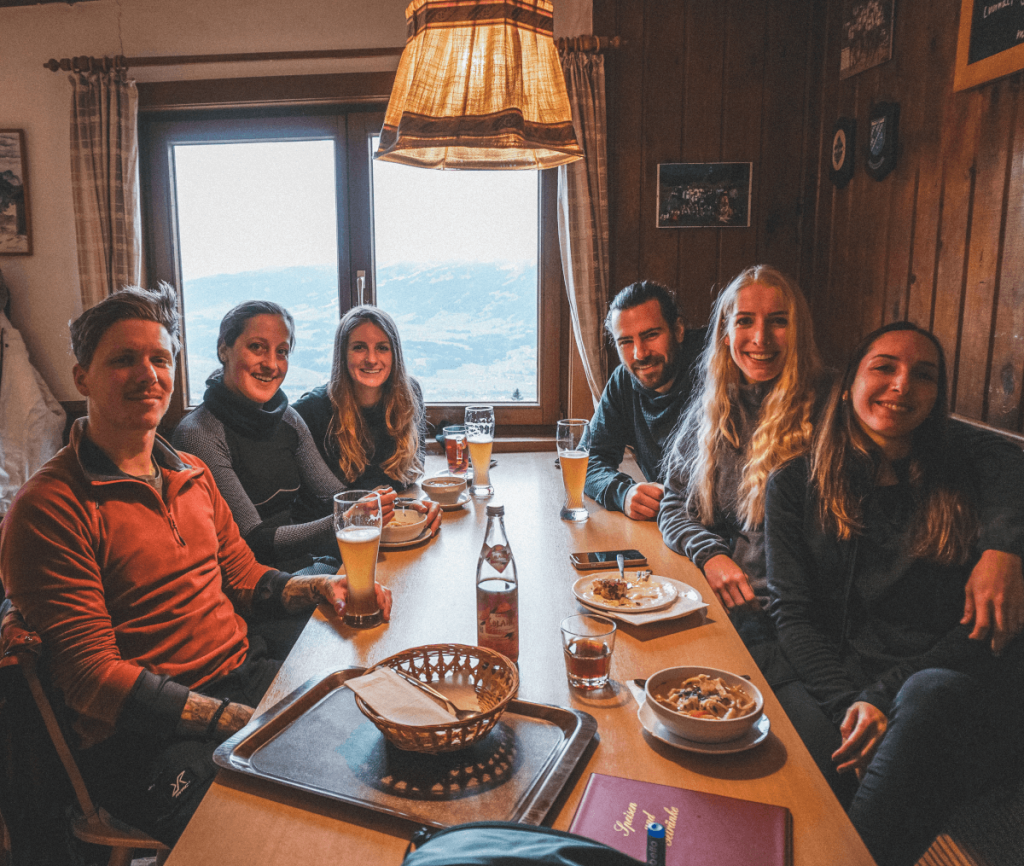
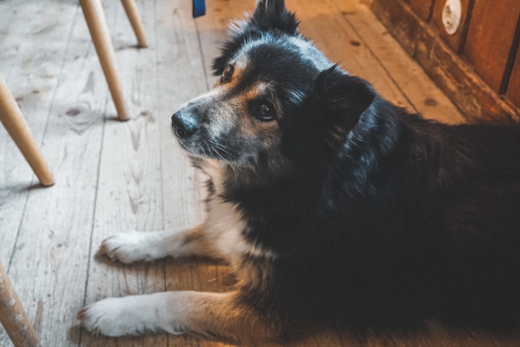
We took off our hiking boots full of mud at the bottom of the hut and slipped into a pair of slippers provided for the guests of the Grüntenhaus. Up the stairs we went into the rustic guest room, where we were immediately greeted in a friendly manner. There wasn’t much going on there – how could there be when there are hardly any hikers on the road. We felt right at home and the hut had a warm, cozy atmosphere. We can also recommend the food with a clear conscience. Our favorites: Pancake soup and Dampfnudel with vanilla sauce 🙂 After the unplanned second refreshment and some petting for the little dog of our neighboring table, we slowly pulled ourselves together to start the descent.
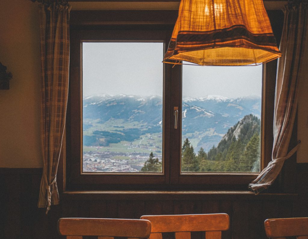
After a while through the forest, passing small streams, we reached a wide forest road.
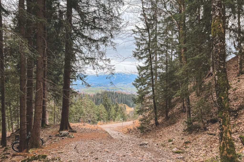
We followed this for a short distance until we came to a fork on the right-hand side onto a narrow, stony path. When we reached the end of the descent, we recognized the tarred road that led to our parking lot. Only, unfortunately, we had ended up a little further down than we had planned. So in the end, our plan to be smart and save altitude meters by driving the car to the very end of the road took revenge 😉
In conclusion, I can say that our first hike of the year was probably not the most spectacular, but the trip was definitely worth it. At this time of year, the Grünten is a good compromise when the uncertain snow and avalanche situation in the higher regions does not allow a relaxed hiking tour there.
Also worth reading: Hike to two of the most beautiful lakes in Tyrol – Seebensee and Drachensee.


