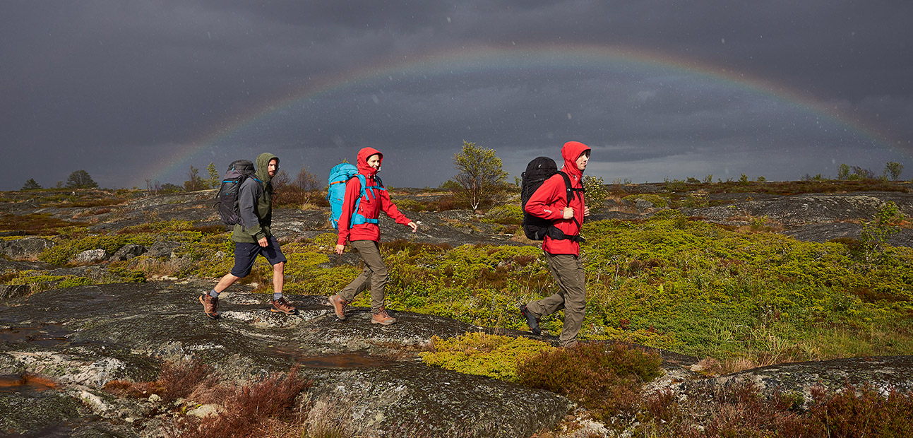
Especially in the mountains, meteorology is a basic knowledge for outdoor enthusiasts. Of course you can check the weather forecast before you go on day trips. On multi-day tours in the mountains, however, it is important to know how to interpret weather phenomena correctly because changes in the weather come suddenly and a thunderstorm can be really dangerous.
The weather is probably one of the most important factors for the success of your tour – whether you are hiking, trekking, mountain biking or on the water. So before you start, you should always check the weather forecast. The Deutsche Alpenverein – DAV (German Alpine Club) offers reliable forecasts for the mountain weather in the Alps. If you have your smartphone with you and it has reception, you can also check on the way if a storm is approaching – best with the app bergfex/Wetter for Android or iOS.
However, on tours lasting several days away from civilisation you should never rely entirely on technique. Always keep an eye on your environment. Especially in the mountains the weather can change abruptly. Our little meteorologist will help you to interpret the signs of nature correctly so that you don’t suddenly find yourself in the rain.
Also interesting: Safety on the Mountain – Getting emergency help in the mountains.
The barometer – a reliable indicator of the weather
Changes in air pressure are a sure sign of weather changes. The only problem is that you can’t see air pressure. But that’s what barometers are for. Meanwhile the devices are so small that you can easily stow them in your pocket. There are also wristwatches with integrated barometers.
To determine how the weather changes based on the air pressure, there is a guideline: If the air pressure drops sharply within a short time, bad weather is announced. With a drop of 1 to 2 hPA (Pascal per hour) you have to expect a severe storm.
If the air pressure drops slowly, you can assume that a longer period of good weather will slowly come to an end. But you do not always have a barometer at hand. Then the signs of nature will help you to predict the weather.
Cirrus clouds
Cirrus clouds are also called feather clouds. This describes their appearance quite aptly: They are mostly thin and fibrous and consist of ice crystals. They are harbingers of a warm front and can announce rain if they condense into cirrostratus clouds. This process can take up to two days.

Cirrocumulus clouds
These are thin, small, white clouds of ice crystals – either evenly distributed or in the form of lamb clouds – which usually result in a strong thunderstorm.

Cirrostratus clouds
Veil clouds, as these clouds are also called, belong to the high clouds just like the two forms mentioned above and consist of ice crystals. They usually cover the entire sky and dampen the sun’s radiation. They also indicate the arrival of a warm front and announce rain in one or two days.

Definitely worth reading: How to orient a hiking map using a compass – So you can find your way without getting lost.
Altocumulus clouds
The shape of altocumulus clouds can be described as a cluster cloud. Unlike cirrus clouds, they consist of fine water droplets. If they are in the sky, you don’t need to fear precipitation.

Altostratus clouds
Altostratus clouds are fibrous, greyish or bluish layer clouds. If they are in the sky, the sun is blurred. This is often followed by continuous light or moderate precipitation.

Stratocumulus clouds
The white or grey stratus clouds with dark spots are located at medium height and are mostly ball or roller shaped. In contrast to cumulus clouds – which are always single – stratocumulus clouds have grown together at the bottom. Mostly they do not bring precipitation, but are accompanied by wind.
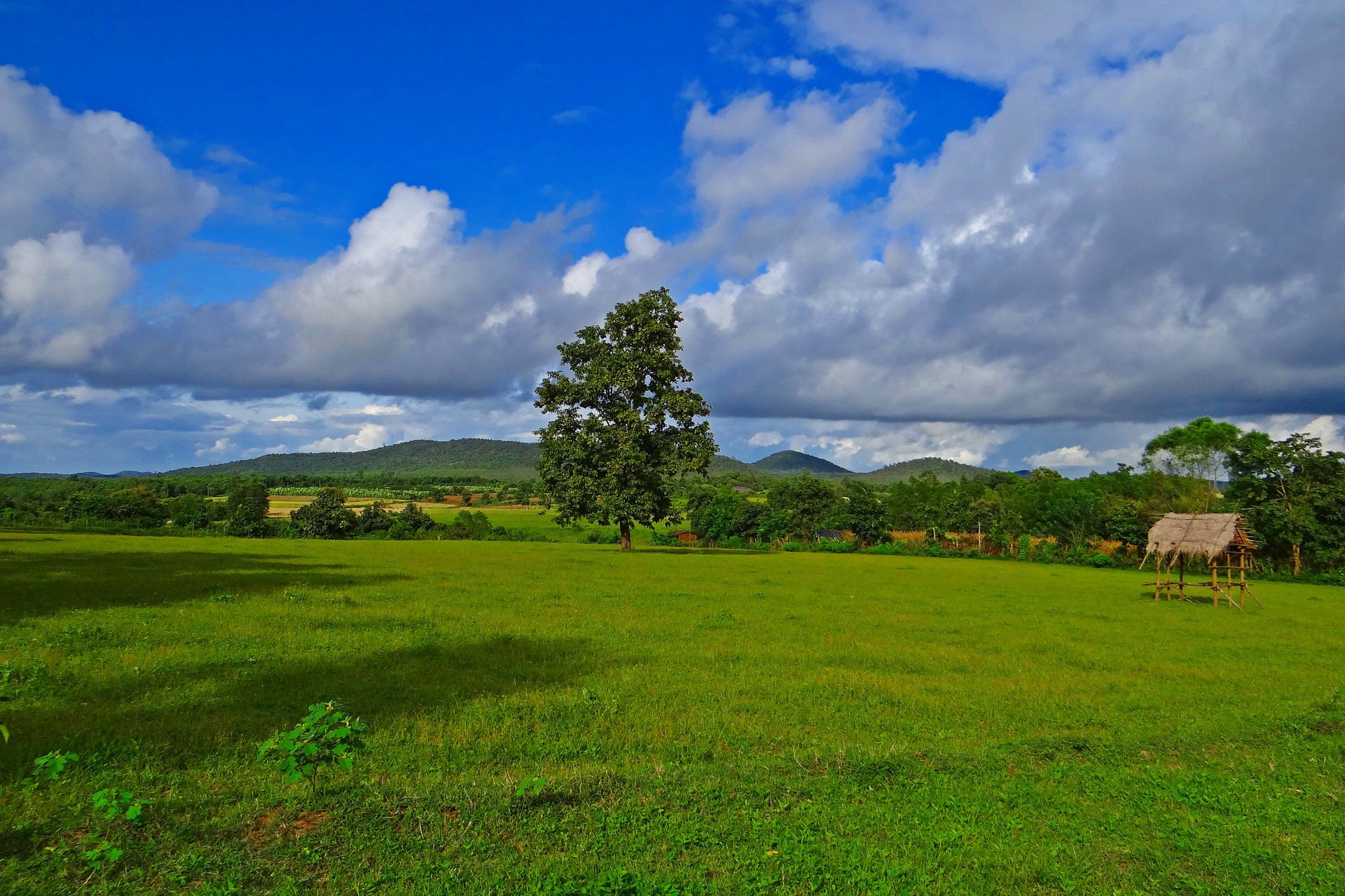
Stratus Clouds
In the vernacular this cloud shape is called high fog, i.e. a grey cloud layer with a uniform lower boundary. Mizzle or fine snow are to be expected.
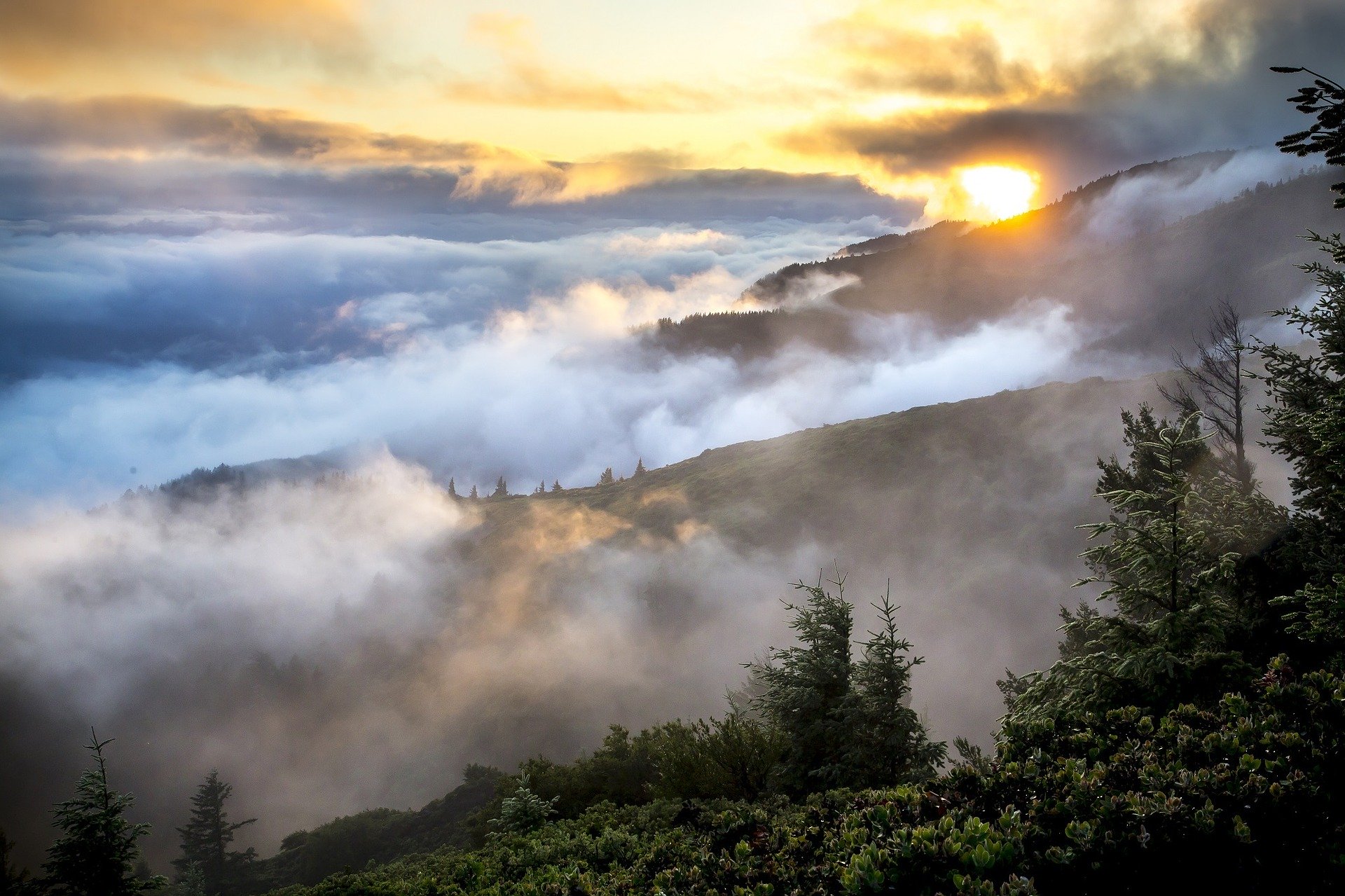
Nimbostratus clouds
They are the typical rain clouds: a grey, dark cloud churning at a relatively low altitude, announcing persistent rain or snow. Not necessarily the best weather for hiking.

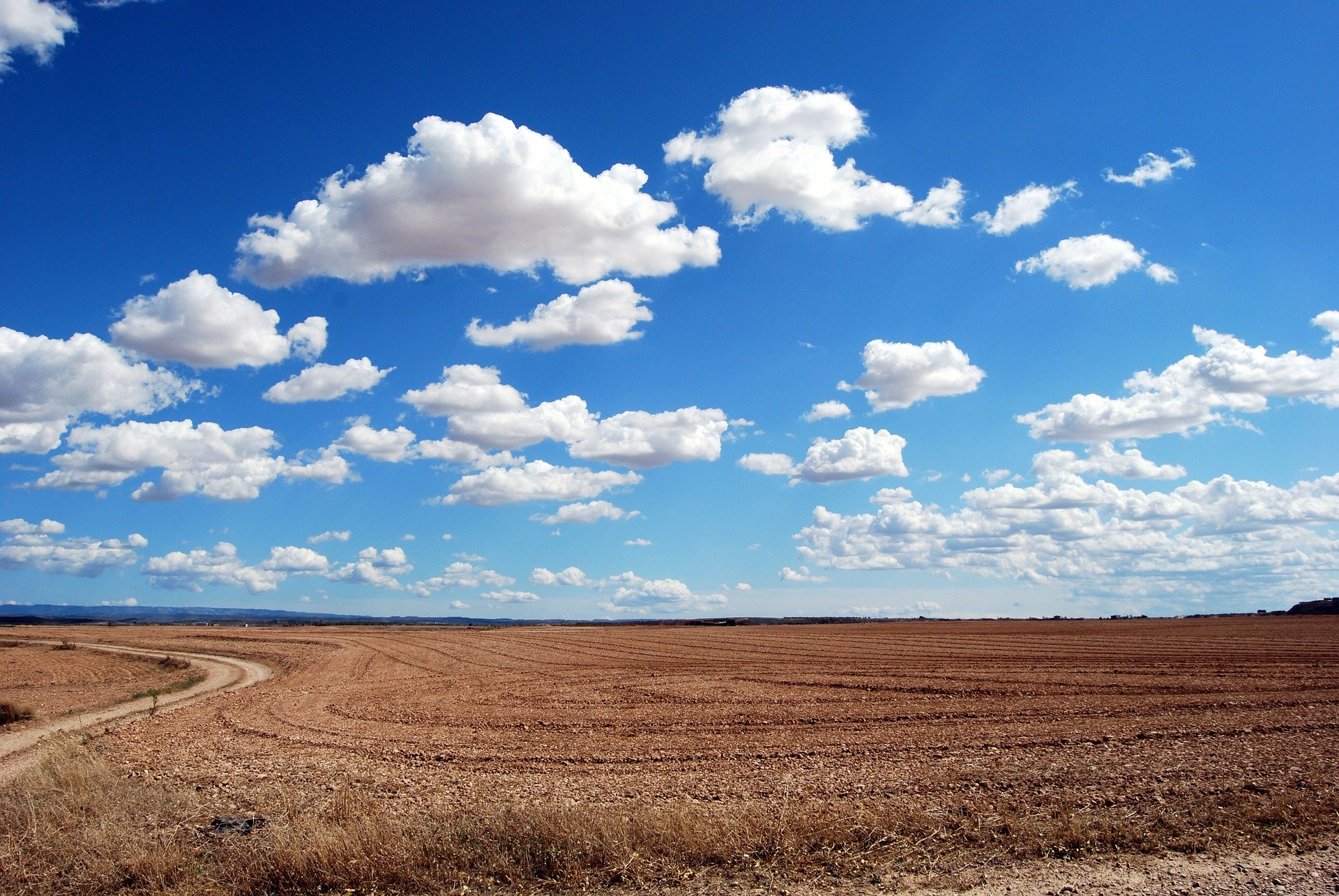
Cumulus clouds
Cumulus clouds are typical fair weather clouds. They appear as single, dense cumulus clouds. At the bottom their edge is flat, while at the top they look cauliflower-shaped. You don’t have to fear rain for a while.
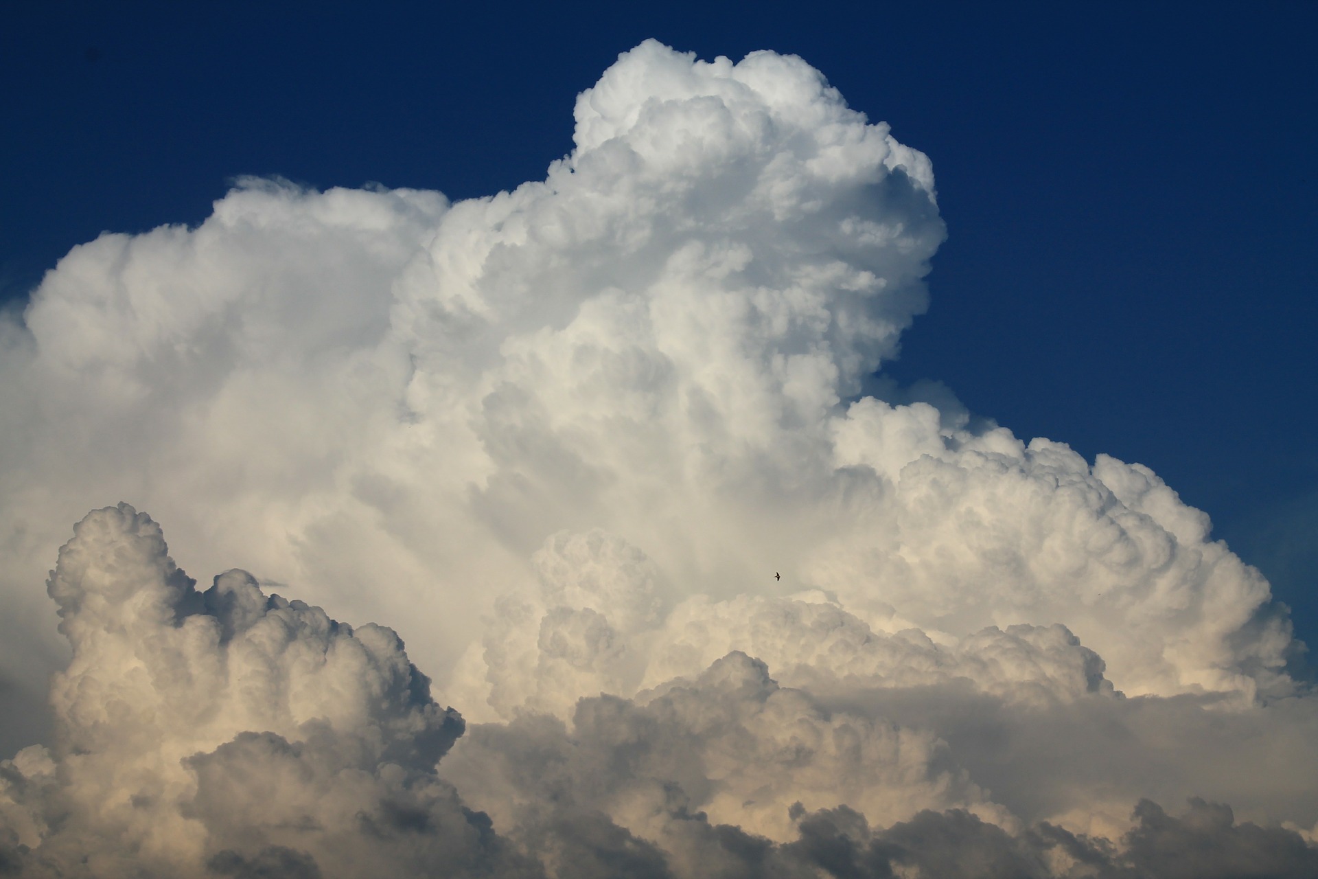
Cumulonimbus clouds
If you can see these clouds in the sky, it is best to find a safe shelter quickly. Because cumulonimbus clouds are thunderclouds. They pile up high and can be recognized by their dark color. Heavy showers and thunderstorms are imminent.
Contrails as an auxiliary tool for meteorology
Aircraft contrails can also be a good indicator of possible weather changes, as they make air movements in the sky visible. If the strips dissolve quickly and hardly ever remain in the sky, the air is dry – an indication that the stable fair weather conditions will continue.

If the condensation trails do not dissolve, the air humidity rises. This points to rain. If the contrails quickly fray in the sky, strong high-altitude winds are present. This does not bode well either. You probably have to be prepared for bad weather.

Weather forecast with the help of the wind
In the German Alps, the wind direction also says something about how the weather will develop in the next hours and days. If the wind comes from the northeast to the east, this almost always promises good weather.
Wind from the south-west, on the other hand, indicates an approaching low. If the wind comes from the south, this means in the northern Alps one thing for sure: warm Alpine foehn wind. So you can be happy about warm temperatures at first. But the weather change is not far away.
Basically you have to observe the wind for your forecast over a longer period of time – preferably at a place where the air is not swirled by obstacles in the surroundings. If the wind direction changes, this is a sure sign of a change in weather.
Reading tip: Basic outdoor knowledge – Must haves on tour and knowing the ropes during thunder storms and emergencies.
Animals as an indicator for the change in the weather
The view into the animal kingdom also helps you to predict the weather – but only if you actually encounter animals on your tour. Depending on the weather, animals show a very specific behaviour. Cows grazing on the mountain, for example, move downhill when rain or thunderstorms threaten. Further down, they are not quite so vulnerable to the weather. Wild animals such as deer also seek shelter in the undergrowth when a thunderstorm threatens. Outside the forest they are no longer to be found as soon as a change in the weather is announced. Mosquitoes and swallows fly low when there is rain in the sky.
Good weather can be indicated by spiders, for example. They work more effectively on their web when a stable high is approaching. The insects depend on good weather, because storm or rain would destroy the web for which they have invested vital energy. Bees are also only active when the weather is good. If they retreat to their hive, bad weather is imminent.
Conclusion: Check the weather forecast and walk through nature with open eyes
Before every tour you should first check the weather forecast and don’t take any risks if it looks unstable in advance. Maybe a day trip is a good solution if you are not sure how long a fair weather period will actually last. It is also a good idea to start hiking as early as possible in the morning because thunderstorm fronts usually don’t appear until the afternoon – when you are already at the hut or back in the valley.
Otherwise, the above-mentioned indicators will give you important information about impending changes. However, you can never rely on them one hundred percent – there are simply too many factors that play a role in the weather. It is not without reason that the weather forecast of professional meteorologists is wrong from time to time – especially for mountainous terrain, where there are often rapid changes in the weather, which can be quite different in small areas. This is where the locals have the most experience, such as hut keepers. They know the weather in “their” mountains particularly well and can interpret the signs correctly.
Click recommendation: Everything about trekking.


